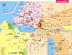
Marseille Tourist Map
Tourist map of central Marseille, France. Inset shows surrounding area. Shows points of interest.
724 miles away
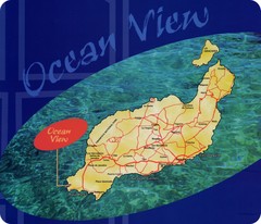
Lanzarote Map
Island road map of Lanzarote
725 miles away
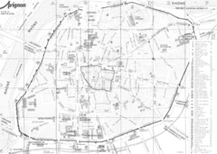
Avignon centre Map
725 miles away
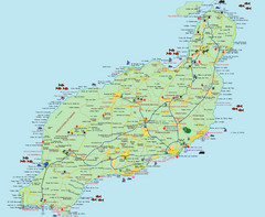
Lanzarote Tourist Map
Tourist map of Lanzarote, Canary Islands, Spain.
725 miles away
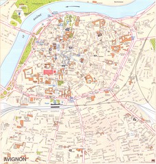
Avignon Map
725 miles away
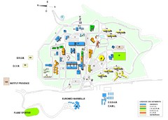
Luminy Campus Map
A map of the scientific campus of Luminy, Marsielle.
725 miles away
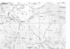
Avignon environs Map
726 miles away

Lesconil City Map
City map of Lesconil, France
726 miles away
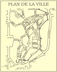
Vannes Map
729 miles away

Orange Map
733 miles away

Concarneau Map
733 miles away

Concarneau ville Map
733 miles away

Puerto Del Carmen - Street map
733 miles away
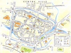
l'Isle sur la Sorgue - centre Map
734 miles away
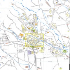
l'Isle sur la Sorgue Map
734 miles away
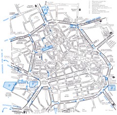
Aix en Provence Map
736 miles away
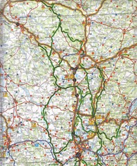
Central France Tourist Map
743 miles away
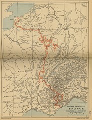
Wars of France and the Empire - 1521-1529...
743 miles away
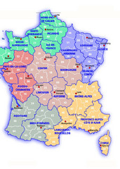
France Map
743 miles away
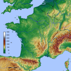
GMT France Map
Map of France made with GMT and and GTOPO30.
743 miles away
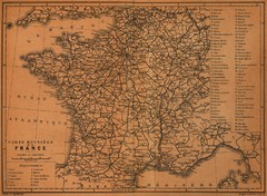
France Road Map, 1914
Road Map of France, 1914. From "Southern France Including Corsica; Handbook for Travellers...
743 miles away
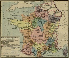
France Ecclesiastical Map 1789-1802
Shows monastic establishments in 1789 and dioceses/archbishoprics 1789 and 1802. From The...
743 miles away
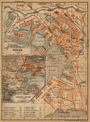
Toulon Map
The following maps are from "Southern France Including Corsica; Handbook for Travellers"...
743 miles away
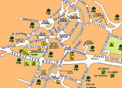
Signes Map
746 miles away

Vaison la Romaine Map
748 miles away
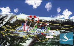
Mont Serein Ski Trail Map
Trail map from Mont Serein, which provides downhill skiing. This ski area has its own website.
753 miles away

Brittany region Map
757 miles away
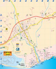
La Londe Tourist Map
Tourist map of La Londe, France. Shows services, businesses, and points of interest.
757 miles away
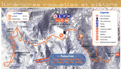
Le Fanget Ski Trail Map
Trail map from Le Fanget, which provides nordic skiing.
761 miles away
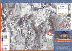
Le Fanget Ski Trail Map
Trail map from Le Fanget, which provides nordic skiing.
761 miles away
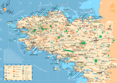
Brittany Tourist Map
Tourist map of province of Brittany in France. Shows ports, cathedrals, churches, chateaus, forts...
764 miles away
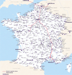
Map of SNCF National Railway Network in France
A SNCF map (Société Nationale des Chemins de Fer) showing the French train System...
764 miles away

Chateaux of the Loire River Valley Map
Chateaus of the Loire River Valley region in France. Stretching from the Atlantic from Nantes to...
767 miles away
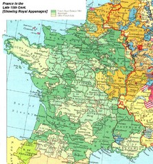
France Late 15th Century Map
France in the Late 15th Century (showing Royal Appanages)
770 miles away
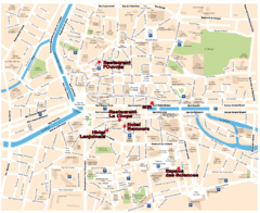
Rennes Street Map
Street map of the city center of Rennes, France. Shows building names and parking. Some points of...
773 miles away

