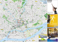
Poitou Charantes Map
639 miles away
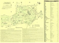
Sarlat Map
640 miles away
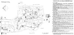
Sarlat - medievale Map
640 miles away
Sarlat - environs Map
640 miles away
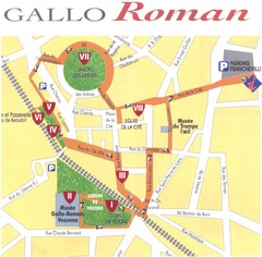
Perigueux - roman Map
642 miles away
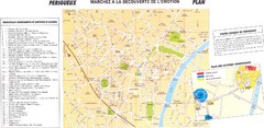
Perigueux Map
642 miles away
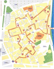
Perigueux - renaissance Map
642 miles away
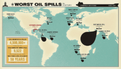
Worst Oil Spills in History Map
Map of the worst oil spills in history.
644 miles away
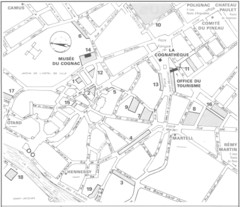
Cognac Map
645 miles away
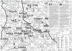
Villebois-Lavalette Tourist Map
Tourist map of Villebois-Lavalette, France and surrounding region. Shows points of interest. In...
647 miles away
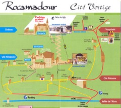
Rocamadour Map
648 miles away
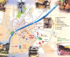
Montignac sur Vesere Map
648 miles away
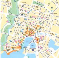
La Rochelle - centre Map
656 miles away

La Rochelle - overall Map
656 miles away

La Rochelle Map
656 miles away
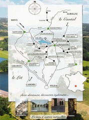
Southern France Tourist Map
Hand drawn map of an area of southern France with pictures and cities shown.
657 miles away
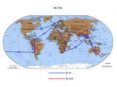
World Map
664 miles away
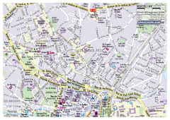
Montpellier Tourist Map
Tourist street map of Montpellier
674 miles away
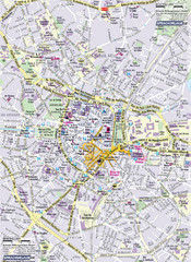
Montpellier Tourist Map
Tourist map of Montpellier, France. Shows points of interest.
674 miles away

Montpellier City Tourist Map
Tourist map of Montpellier
677 miles away
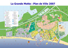
La Grande Motte Tourist Map
Tourist map of La Grande Motte, France. Shows beaches, hotels, and other points of interest.
680 miles away
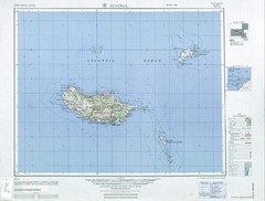
Madeira Country Map
698 miles away
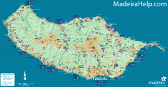
Madeira Island Map
Road map of Madeira Island, Portugal. Shows roads, trails, and rivers. Symbols for points of...
698 miles away
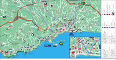
Funchal Tourist Map
Tourist map of Funchal, Madeira
699 miles away
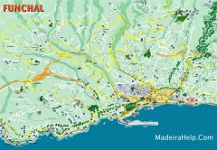
Funchal Madeira Map
Street map of Funchal, Madeira Islands, Portugal
699 miles away
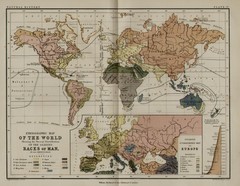
Physical Ethnographic 1852 Map
An ethnographic physical map of the world from 1852
701 miles away
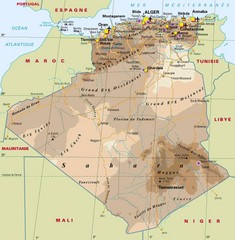
Algeria Map
This is a large map of Algeria in color showing cities, roads, elevations.
702 miles away

Nimes Map
702 miles away
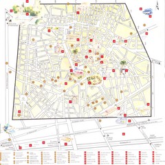
Nimes - centre Map
703 miles away
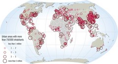
World map of large urban areas in 2005
The population in the urban areas of the world is increasing, and has been increasing throughout...
703 miles away
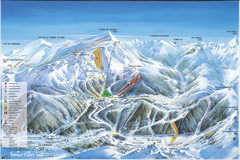
Super Lioran Ski Trail Map
Trail map from Super Lioran.
703 miles away

Arles Map
707 miles away
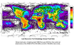
Global Lightning Strike Map
Map of global lighting strikes from April 1995-February 2003. Map by NASA.
712 miles away

Blank World Map
717 miles away

Les Baux de Provence Map
717 miles away
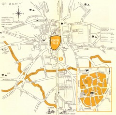
Saint Remy de Provence Map
720 miles away
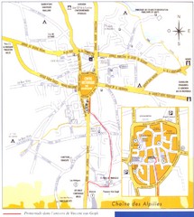
Saint Remy de Provence Map
720 miles away
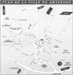
Graveson Map
720 miles away

