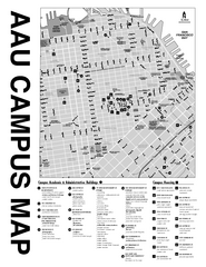
Academy of Art University San Francisco, CA Map
27 miles away
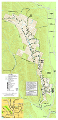
Pleasanton Ridge Regional Park Map
27 miles away
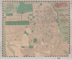
1905 San Francisco Street Map
Pre earthquake map of San Francisco, with several types of street cars and turnaround locations
27 miles away
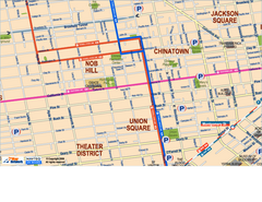
Downtown San Francisco: Union Square, Chinatown...
Tourist map of Union Square, Chinatown and Nob Hill in Downtown San Francisco, California. Public...
27 miles away
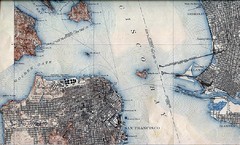
San Francisco Map 1915
28 miles away

Farwell’s Map of Chinatown in San Francisco...
This map of vice in San Francisco's Chinatown in 1885. A fascinating historical document, as...
28 miles away
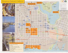
Oakland Tourist Map
Tourist map of downtown Oakland, California. Shows shopping districts.
28 miles away
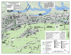
Leona Canyon Regional Open Space Preserve Map
28 miles away
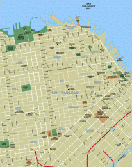
Downtown San Francisco tourist map
Tourist map of Downtown San Francisco spanning several neighborhoods, showing points of interest.
28 miles away
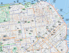
San Francisco Map
Road and Bike routes in San Francisco
28 miles away

Downtown Oakland, California Map
Tourist map of downtown Oakland, California. Shows museums, parks, neighborhoods of interest and...
28 miles away
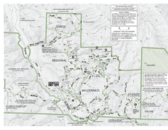
Sunol Regional Wilderness Trail Map - West
Trail map of western portion of Sunol Regional Wilderness in Sunol, California.
28 miles away
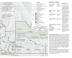
Sunol Regional Wilderness Trail Map - East
Trail map of eastern portion of Sunol Regional Wilderness in Sunol, California.
28 miles away
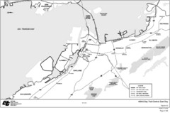
Bay Area, CA Bike Map
28 miles away
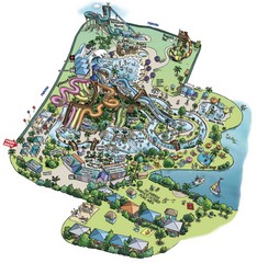
Raging Waters San Jose Map
Simple map of this fun water park for the whole family!
28 miles away
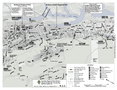
Anthony Chabot Regional Park Map - North
Trail map of the north section of Anthony Chabot Regional Park in the East Bay Hills.
28 miles away
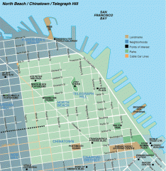
North Beach, Chinatown, Telegraph Hill map
Tourist map of North Beach, Chinatown, and Telegraph Hill in San Francisco
28 miles away
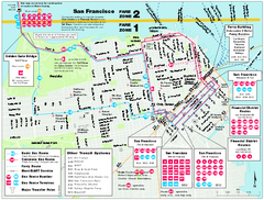
San Francisco Bus and Ferry Map
28 miles away
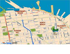
Downtown San Francisco: Fisherman's Wharf...
Tourist map of Fisherman's Wharf, North Beach, and Telegraph Hill area in downtown San...
28 miles away
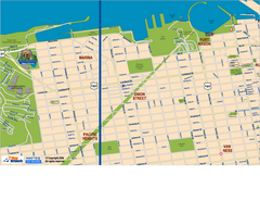
Downtown San Francisco: Fort Mason, the Marina...
Tourist map of Fort Mason, the Marina, and Pacific Heights area in downtown San Francisco...
28 miles away
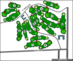
Lincoln Park Golf Course Map
28 miles away
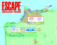
Escape From Alcatraz Triathlon Course Map 2009
Official course map of the 2009 Escape From Alcatraz Triathlon in San Francisco
28 miles away
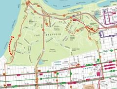
Baker Beach, San Francisco Tourist Map
28 miles away
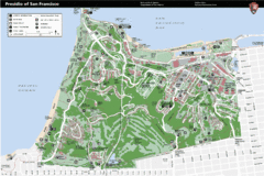
Presidio of San Francisco detail map
Detail map of the Presidio of San Francisco from NPS. Shows hiking/walking trails and POIs such as...
28 miles away
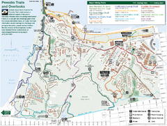
Presidio Trail and Overlook Map
Trail map of the Presidio in San Francisco. Shows 12 major trails (both existing and proposed) and...
29 miles away
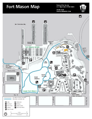
Fort Mason Map
Overview map of Fort Mason, San Francisco, California. Shows trails and points of interest.
29 miles away
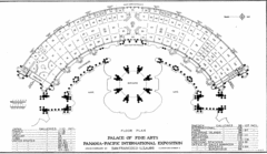
San Francisco Palace of the Fine Arts Map
29 miles away
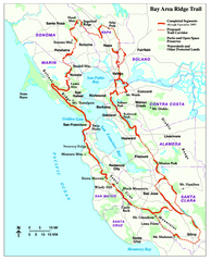
Bay Area Ridge Trail Map
Map of the Bay Area Ridge Trail. Shows completed segments through Sep 2009. "a 550+ mile...
29 miles away
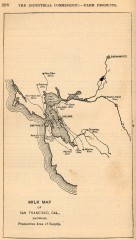
Antique map of San Francisco from 1901
"Milk Map of San Franciso, Cal., Showing Productive Area of Supply." From Report of the...
29 miles away
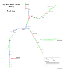
Bay Area Rapid Transit (BART) Track Map
Map of Bay Area Rapid Transit (BART) tracks. Includes all train stops and details about the tracks.
29 miles away
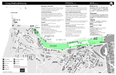
Crissy Field Map
Official NPS map of Crissy Field and vicinity in the Presidio of San Francisco, CA
29 miles away
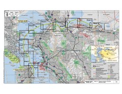
San Francisco Trans Bay Cable Project EIR Map
Map A.2-1 Detailed Project Location
29 miles away
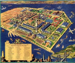
Golden Gate International Expo Cartograph 1939 Map
Bird's eye view of the Golden Gate International Expo in 1939 at Treasure Island in the San...
29 miles away
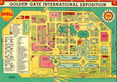
Golden Gate International Expo 1939 Map
Map of the 1939 Golden Gate International Expo.
29 miles away
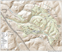
Joaquin Miller Park Map
Trail map of Joaquin Miller Park in Oakland, California. 500 acre park 9 miles from downtown...
29 miles away
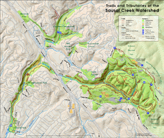
Sausal Creek Watershed Trail Map
Trail map of the Sausal Creek Watershed in Oakland, California. Show trails in Joaquin Miller Park...
29 miles away
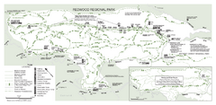
Redwood Regional Park Map
Trail map of Redwood Regional Park in Oakland, California. Shows hiking, horse, and bike trails.
30 miles away
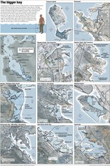
San Francisco Sea Level Rise Map
Guide to the San Francisco Bay Area, and the areas that will be underwater if there is a 1 meter...
30 miles away
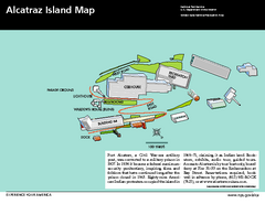
Alcatraz Island Map
Official NPS map of Alcatraz Island National Park in the San Francisco Bay, California
30 miles away
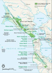
Golden Gate National Recreation Area Area Map
30 miles away

