
Reno, Nevada City Map
108 miles away
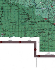
Klamath National Forest Map
Visitor Map of Klamath, eastern part of the forest, includes all roads, camp grounds, creeks, and...
108 miles away
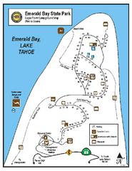
Emerald Bay State Park Campground Map
Map of park with detail of trails and recreation zones
108 miles away

Van Damme State Park Map
Park map of Van Damme State Park near Mendocino, California. Show Fern Valley Trail through...
108 miles away
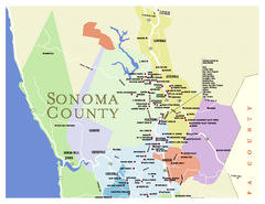
Wineries in Sonoma County, California Map
Map of winery locations in Sonoma County, California. Shows wineries, tasting rooms, and valleys of...
109 miles away

Downtown Reno, Nevada Map
Tourist map of Reno, Nevada. Event and convention centers, visitor's center, parks, and other...
109 miles away
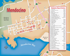
Mendocino Tourist Map
Tourist map of town of Mendocino, California. Shows shops and services.
110 miles away
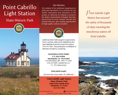
Point Cabrillo Light Station State Historic Park...
Map of park with detail of trails and recreation zones
110 miles away
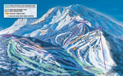
Mt. Shasta Ski Park Ski Trail Map
Official ski trail map of Mount Shasta Ski Park ski area
110 miles away
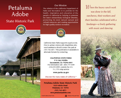
Petaluma Adobe State Historic Park Map
Map of park with detail of trails and recreation zones
111 miles away
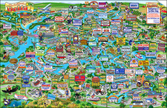
California Delta Boaters Map & Visitors Guide
Map of the California Delta, the Most Current, Legible and Unique Delta Navigation Map to date. Our...
111 miles away

Sebastopol Map
Map of Sebastopol and surrounding towns.
111 miles away
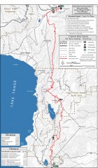
Tahoe Rim Trail: Tahoe Meadows to Spooner Summit...
Topographic hiking map of the Tahoe Meadows-Spooner Summit leg of the Tahoe Rim Trail. Shows bike...
111 miles away
California Delta Maps Map
FISH "N" MAP of the California Delta. Navigation Map with GPS Locations. Printed on...
111 miles away
California Delta Maps Map
The "BEST" Navigational Maps of the California Delta. Franko's California...
111 miles away
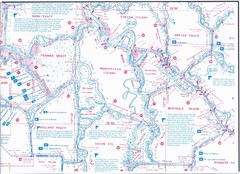
California Delta Maps/Fish "N" Map
The Delta including Suisun Bay, Sacramento & San Joaquin Rivers 10 Foot Underwater Depth...
111 miles away
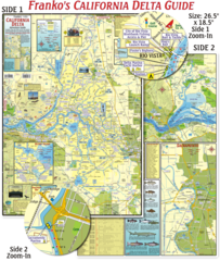
California Delta Maps Map
The "BEST" California Delta Boating, Navigation & Visitors Maps. Printed on Rip-Proof...
111 miles away
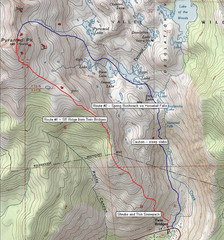
Pyramid Peak Ski Route Map
Backcountry ski route map of Pyramid Peak 9983 ft in the Desolation Wilderness near Lake Tahoe...
111 miles away
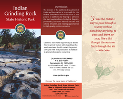
Indian Grinding Rock State Historic Park Map
Map of park with detail of trails and recreation zones
112 miles away
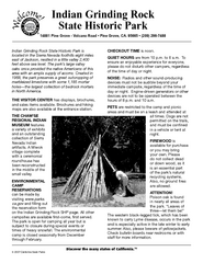
Indian Grinding Rock State Historic Park...
Map of campground region of park with detail of trails and recreation zones
112 miles away
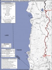
Tahoe Rim Trail: Spooner Summit to Kingsbury...
Topographic hiking map of the Spooner Summit-Kingsbury North leg of the Tahoe Rim Trail. Bike and...
113 miles away
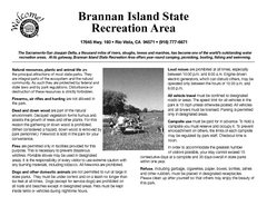
Brannan Island Campground Map
Map of park with detail of trails and recreation zones
114 miles away
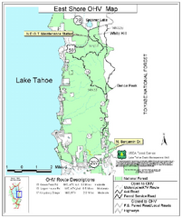
East Shore Lake Tahoe Off-highway Vehicle Map
Off-highway vehicle map of the East Shore of Lake Tahoe, California. Shows roads open to...
114 miles away
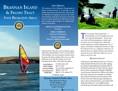
Brannan Island & Franks Tract State...
Map of park with detail of trails and recreation zones
114 miles away
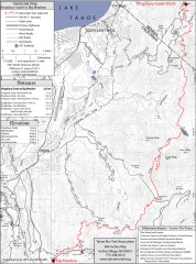
Tahoe Rim Trail: Kingsbury South to Big Meadows...
Topographic hiking map of the Kingsbury South-Big Meadows leg of the Tahoe Rim Trail. Shows...
114 miles away
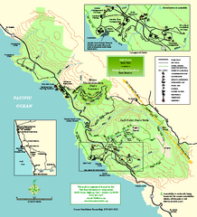
Salt Point State Park Map
Topo park map of Salt Point State Park and Kruse Rhododendron State Reserve. Shows trails by use...
114 miles away
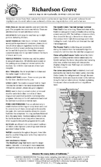
Richardson Grove State Park Campground Map
Map of campground region of park with detail of trails and recreation zones
114 miles away
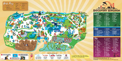
Six Flags Discovery Kingdom Park Map
Six Flags Discovery Kingdom theme park (formerly Marine World) in Vallejo, California. Experience...
114 miles away
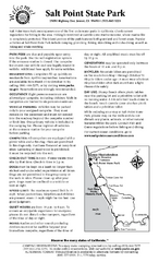
Salt Point State Park Campground Map
Map of campground region of park with detail of trails and recreation zones
114 miles away
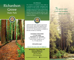
Richardson Grove State Park Map
Map of park with detail of trails and recreation zones
114 miles away
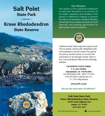
Salt Point State Park Map
Map of park with detail of trails and recreation zones
114 miles away
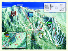
Sierra-at-Tahoe Ski Trail Map
Trail map from Sierra-at-Tahoe, which provides downhill and terrain park skiing. It has 12 lifts...
114 miles away
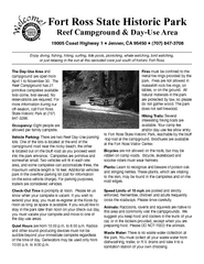
Fort Ross State Historic Park Campground Map
Map of park with detail of trails and recreation zones
115 miles away
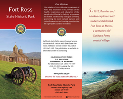
Fort Ross State Historic Park Map
Map of park with detail of trails and recreation zones
115 miles away
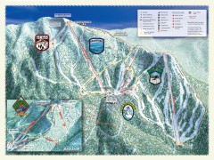
Sierra-at-Tahoe Ski Trail Map
Official ski trail map of Sierra-at-Tahoe ski area from the 2007-2008 season.
115 miles away
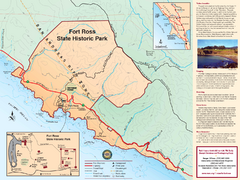
Fort Ross State Historic Park Map
Map of park with detail of trails and recreation zones
115 miles away
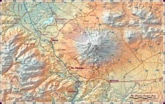
Mt. Shasta Scenic Area map
Great map of the Mt. Shasta region. Shows roads (including 4WD), mountains, lakes, and hiking...
115 miles away
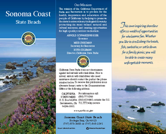
Sonoma Coast State Beach Map
Map of beach and park with detail of trails and recreation zones
116 miles away
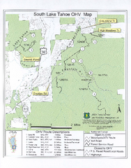
South Lake Tahoe Off-Highway Vehicle Map
Off-Highway Vehicle Map of South Lake Tahoe, California. Shows roads open to motorcycles, ATVs, and...
116 miles away
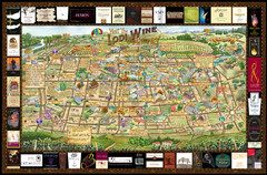
Lodi Valley Wine Map & Visitors Guide
A great source for information about the Lodi Wineries and our valleys rich Wine Region
116 miles away

