
Sugar Pine Point State Park South Map
Map of southern region of park with detail of trails and recreation zones
102 miles away
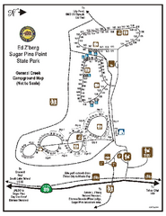
Sugar Pine Point State Park Campground Map
Map of campground region of park with detail of trails and recreation zones
103 miles away
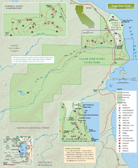
Sugar Pine Point State Park Map
Map of park with detail of trails and recreation zones
103 miles away
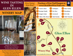
Glen Ellen Wine Tasting Map
103 miles away
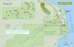
Sugar Pine Point State Park North Map
Map of northern region of park with detail of trails and recreation zones
103 miles away
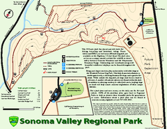
Sonoma Valley Regional Park Map
Trail map of 202 acre Sonoma Valley Regional Park.
104 miles away
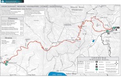
Tahoe Rim Trail: Brockway Summit to Tahoe Meadows...
Trail map of the Brockway Summit-Tahoe Meadows leg of the Tahoe Rim Trail. Bike trails, hiking...
105 miles away
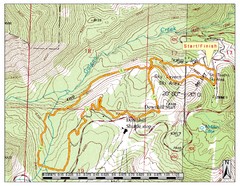
Sky Tavern XC Route Map
Topo map of the XC course for the cycling event.
105 miles away
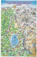
Reno and Lake Tahoe Area Golf map
Illustrated map showing all golf courses in the Reno/lake Tahoe area, 2006 version. To view more...
105 miles away
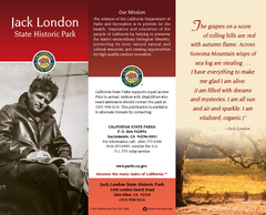
Jack London State Historic Park Map
Map of park with detail of trails and recreation zones
105 miles away
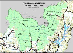
Trinity Alps Wilderness Map
Overview map of the Trinity Alps Wilderness near Weaverville, CA
105 miles away
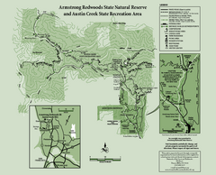
Armstrong Redwoods State Natural Reserve Map and...
Park map of Armstrong Redwoods State Natural Reserve and Austin Creek State Recreation Area in...
105 miles away
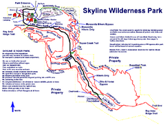
Skyline Wilderness Park Map
Trail map of Skyline Wilderness Park in Napa, California
106 miles away
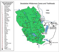
Desolation Wilderness Permits Zone Map
Zone and trailhead map of the Desolation Wilderness near Lake Tahoe, California. Use to figure out...
106 miles away
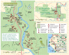
Richardson Grove State Park Map
Park map of Richardson Grove State Park, California. Shows trails, campgrounds, and other...
106 miles away
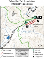
Tahoe Rim Trail: Interpretive Loop, Lake Tahoe...
Trail map of the Tahoe Rim Trail's Interpretive Loop Trail. Shows both trails, camping...
106 miles away
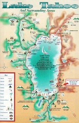
Lake Tahoe and nearby activities Map
Lake Tahoe and nearby resorts and activities
106 miles away
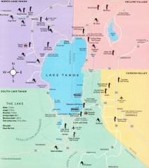
Lake Tahoe Area, California Map
Recreation map of Lake Tahoe, California. Points of interest shown include golfing, skiing, and...
106 miles away
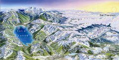
Lake Tahoe Ski Resort map
Winter map of Lake Tahoe showing relative position of all ski resorts. South-facing view. Created...
106 miles away

Digital Elevation Model Satellite Tahoe Map
Digital Elevation Models
106 miles away
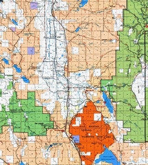
Modoc National Park Map
Visitor Map of Modoc National Park, eastern part. Includes all roads, lakes, camping and boating...
107 miles away
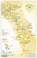
Sonoma Valley Winery Map
High quality map of Sonoma Valley wineries from the vinters and growers. Shows all key roads and...
107 miles away
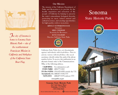
Sonoma State Historic Park Map
Map of park with detail of trails and recreation zones
107 miles away
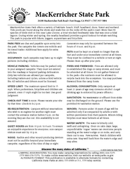
MacKerricher State Park Campground Map
Map of campground region of park with detail of trails and recreation zones
107 miles away
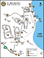
D.L. Bliss State Park Campground Map
Map of park with detail of trails and recreation zones
107 miles away
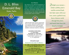
D.L. Bliss State Park Map
Map of park with detail of trails and recreation zones
107 miles away
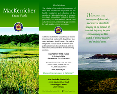
MacKerricher State Park Map
Map of park with detail of trails and recreation zones
107 miles away
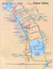
Napa Valley Tourist map
Tourist map of Napa Valley in California, showing wineries and museums in the area.
107 miles away
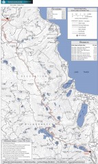
Tahoe Rim Trail: Echo Lake to Barker Pass Map
Topographic hiking map of the Echo Lake-Barker Pass leg of the Tahoe Rim Trail. Shows pedestrian...
107 miles away
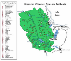
Desolation Wilderness, Lake Tahoe, California Map
Map of Desolation Wilderness, southwest of Lake Tahoe, California. Shows pack-in camping zones...
107 miles away
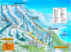
Diamond Peak Ski Trail Map
Trail map from Diamond Peak.
107 miles away
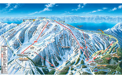
Mt. Rose Ski Tahoe Ski Trail Map
Trail map from Mt. Rose Ski Tahoe.
108 miles away
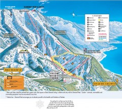
Diamond Peak Ski Trail Map
Official ski trail map of Diamond Peak ski area from the 2007-2008 season.
108 miles away
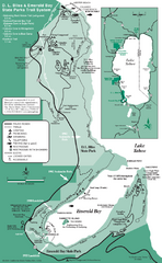
Emerald Bay State Park and DL Bliss State Park...
Trail map of Emerald Bay State Park and DL Bliss State Park on the shores of Lake Tahoe, California
108 miles away
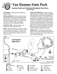
Van Damme State Park Campground Map
Map of campground region of park with detail of trails and recreation zones
108 miles away
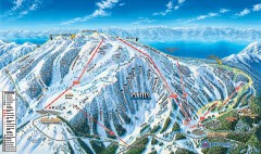
Mt. Rose Ski Trail Map
Official ski trail map of Mt. Rose ski area
108 miles away
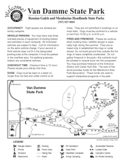
Van Damme State Park Campground Map
Map of campground region of park with detail of trails and recreation zones
108 miles away
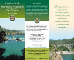
Mendocino Headlands State Parks Map
Map of parks with detail of trails and recreation zones
108 miles away
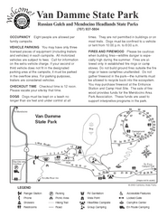
Russian Gulch State Park Campground Map
Map of campground region of park with detail of trails and recreation zones
108 miles away

Reno Tahoe Tourist Map
108 miles away

