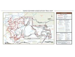
Tahoe Donner Ski Trail Map
Official ski trail map of Tahoe Donner Association. Shows both downhill and cross-country ski...
90 miles away
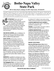
Bothe-Napa Valley State Park Map
Map of park with detail of of trails and recreation zones
92 miles away
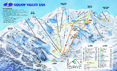
Squaw Valley USA Trail Map
Trail map of Squaw Valley ski area in Lake Tahoe, California
92 miles away
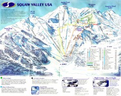
Squaw Valley Ski Trail Map
Scan of ski trail map of Squaw Valley ski area from the 2000-2001 season.
93 miles away
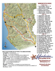
Mendocino Beer and Wine Tasting Map
Beer and wine tasting map of Mendocino county, California. Show breweries and wineries on the...
93 miles away
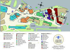
Squaw Valley Base Village Map
Village map of base of Squaw Valley Ski Resort, Lake Tahoe, California. Shows all restaurants...
93 miles away
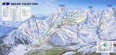
Squaw Valley USA Ski Trail Map
Trail map from Squaw Valley USA, which provides downhill, night, nordic, and terrain park skiing...
93 miles away
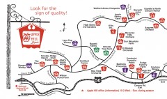
Apple Hill tourist map
Map of Apple Hill growers in Camino, California. Shows vineyards and orchards.
93 miles away
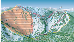
Alpine Meadows Ski Area Backside Ski Trail Map
Trail map from Alpine Meadows Ski Area, which provides downhill and terrain park skiing. It has 13...
94 miles away
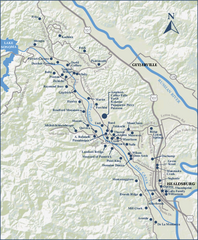
Dry Creek Valley Wineries, California Map
Map of wineries in Dry Creek Valley, California. Shows wineries and roads.
95 miles away
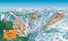
Alpine Meadows Ski Trail Map (Front)
Official ski trail map of Alpine Meadows ski area from the 2005-2006 season.
95 miles away
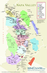
Napa Valley Wine Map
Wine map of Napa Valley, Napa, California. Shows all vineyards and shading by appellations from...
96 miles away
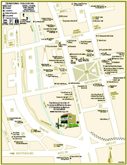
Downtown Healdsburg, California Map
Tourist maps of downtown Healdsburg, California. First map shows restaurants, galleries, wine...
96 miles away
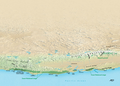
California Redwood Range Map
NPS prospective map of the coastal redwoord range in California, extending from Santa Cruz north to...
97 miles away
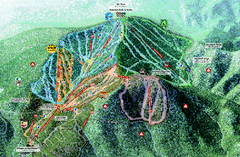
Northstar Ski Trail Map
Official ski trail map of Northstar-at-Tahoe ski area from the 2007-2008 season.
97 miles away
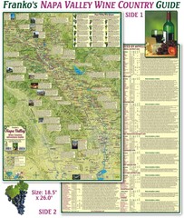
Napa Valley Wine Country Guide Map
Map of the Napa Valley Wine Country. With over 250 local Wineries listed. Printed on waterproof...
97 miles away
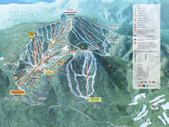
Northstar-at-Tahoe Ski Trail Map
Official trail map of Northstar-at-Tahoe ski area from the 2009-2010 season
97 miles away
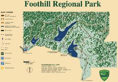
Foothill Regional Park Map
Park map of Foothill Regional Park in Sonoma County, California. Shows trails and 3 lakes.
98 miles away
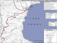
Tahoe Rim Trail: Barker Pass to Tahoe City Map
Topographic hiking map of the Barker Pass-Tahoe City leg of the Tahoe Rim Trail. Shows trailheads...
98 miles away
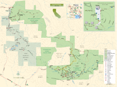
Sugarloaf Ridge State Park Map
Trail map of Sugarloaf Ridge State Park
98 miles away
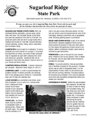
Sugarloaf Ridge State Park Campground Map
Map of park with detail of trails and recreation zones
98 miles away
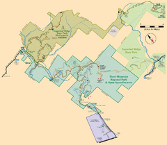
Hood Mountain Regional Park Map and Sugarloaf...
Park map of Hood Mountain Regional Park and Open Space Preserve and Sugarloaf Ridge State Park in...
98 miles away
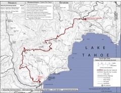
Tahoe Rim Trail: Tahoe City to Brockway Summit Map
Topographic hiking map of the Tahoe City-Brockway Summit leg of the Tahoe Rim Trail. Shows trail...
98 miles away
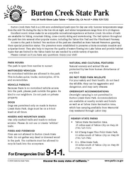
Burton Creek State Park Map
Map of park with detail of trails and recreation zones
98 miles away
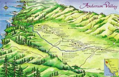
Anderson Valley Wine Map
Shows wineries/vineyards in Anderson Valley, California along Route 128 from Navarro, California to...
99 miles away
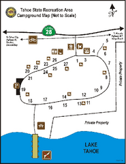
Tahoe State Recreation Area Campground Map
Map of park with detail of trails and recreation zones
99 miles away
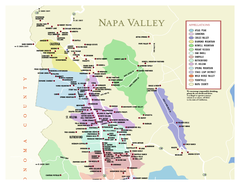
Napa County Wineries, California Map
Map of wineries in Napa County, California. Shows wineries and appellations.
99 miles away
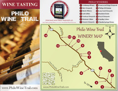
Philo Wine Map
Shows wineries great for wine tasting in the Anderson Valley along Route 128 in Philo California.
99 miles away
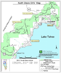
North Shore Lake Tahoe Off-Highway Vehicle Map
Off-highway vehicle map of the area around the North shore of Lake Tahoe. Roads open to motorcycles...
99 miles away
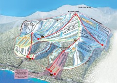
Homewood Ski Trail Map
Official ski trail map of Homewood ski area from the 2007-2008 season.
100 miles away
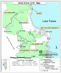
West Shore Lake Tahoe Off-highway Vehicle Map
Off-highway vehicle map of the West Shore of Lake Tahoe. Roads open to motorcycles, ATVs, and 4x4s...
100 miles away
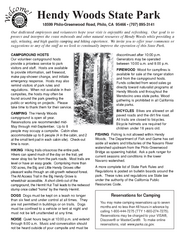
Hendy Woods State Park Campground Map
Map of campground region park with detail of trails and recreation zones
100 miles away
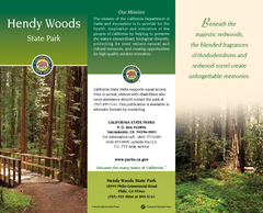
Hendy Woods State Park Map
Map of park with detail of trails and recreation zones
100 miles away
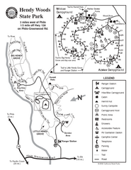
Hendy Woods State Park Map
Park map of Hendy Woods State Park in Philo, California. Shows trails, campgrounds, and other...
100 miles away
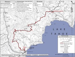
Tahoe Rim Trail Map
100 miles away
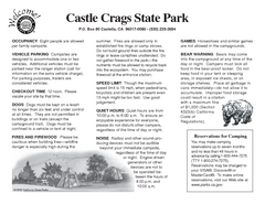
Castle Crags State Park Map
Map of park with detail of trails and recreation zones
100 miles away
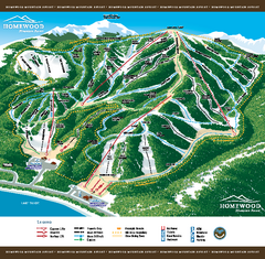
Homewood Mountain Resort Ski Trail Map
Trail map from Homewood Mountain Resort, which provides downhill and terrain park skiing. It has 7...
100 miles away
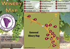
Kenwood Wine Tasting Map
101 miles away
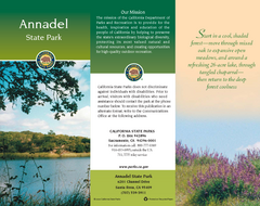
Annadel State Park Map
Map of park with detail of trails and recreation zones
101 miles away
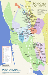
Sonoma Country Wine Map
Wine map of Sonoma, California area. Shows all vineyards.
101 miles away

