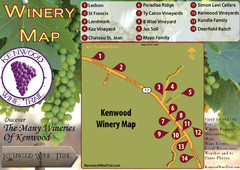
Kenwood Wine Tasting Map
87 miles away
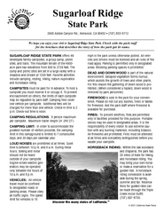
Sugarloaf Ridge State Park Campground Map
Map of park with detail of trails and recreation zones
88 miles away
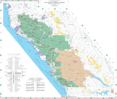
Los Padres National Forest Map - North
Overview map of the northern section of Los Padres National Forest in the Monterey Ranger District...
88 miles away
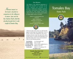
Tomales Bay State Park Map
Map of park with detail of trails and recreation zones
88 miles away

Greater Lake Berryessa Region Tourist Map
Tourist map of the Lake Berryessa region in Napa, California
89 miles away
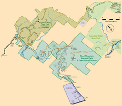
Hood Mountain Regional Park Map and Sugarloaf...
Park map of Hood Mountain Regional Park and Open Space Preserve and Sugarloaf Ridge State Park in...
89 miles away
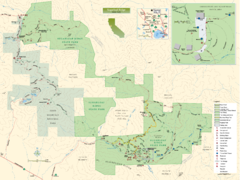
Sugarloaf Ridge State Park Map
Trail map of Sugarloaf Ridge State Park
89 miles away
Annadel State Park Map
Map of park with detail of trails and recreation zones
90 miles away
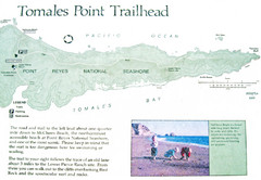
Tomales Point Trail Map
Map of the trail to Tomales Point in Point Reyes National Seashore, California. Also shows trail...
91 miles away
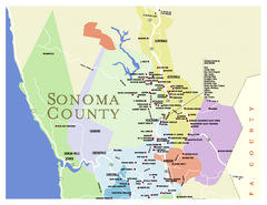
Wineries in Sonoma County, California Map
Map of winery locations in Sonoma County, California. Shows wineries, tasting rooms, and valleys of...
91 miles away
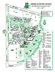
American River College Campus Map
American River College Campus Map. Shows all buildings.
92 miles away

Lake Berryessa Map
Lake Berryessa Recreational Map, Napa County, California
93 miles away

Lake Berryessa Recreation Map
Lake Berryessa Recreational Map, Napa County, California
93 miles away

Relative Motion of Pacific and North American...
Diagram illustrating the plate-tectonic setting of southern California (image source: USGS general...
93 miles away
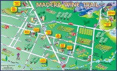
Madera wine map
Tourist map of Madera, California showing Madera Vinters and area wineries.
93 miles away

Limeklin State Park Map
Map of park with detail of trails and recreation zones
93 miles away
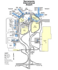
Sacramento International Airport Map
93 miles away
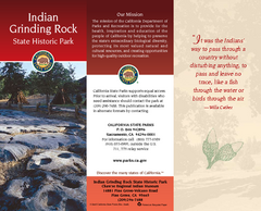
Indian Grinding Rock State Historic Park Map
Map of park with detail of trails and recreation zones
94 miles away
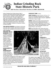
Indian Grinding Rock State Historic Park...
Map of campground region of park with detail of trails and recreation zones
94 miles away
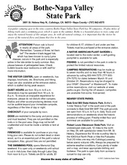
Bothe-Napa Valley State Park Map
Map of park with detail of of trails and recreation zones
95 miles away

Northern California Fire Detection Map
Fires in Northern California
95 miles away
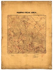
Murphy Peak Area Survey Map
Topographic geology map of Murphy Peak area, California. L.S.J.U. Geological Survey, 1911...
95 miles away

Sebastopol Map
Map of Sebastopol and surrounding towns.
97 miles away
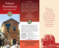
Folsom Powerhouse State Historic Park Map
Map of park with detail of trails and recreation zones
99 miles away
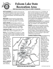
Folsom Lake State Recreation Area Campground Map
Map of park with detail of trails and recreation zones
99 miles away
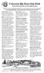
Calaveras Big Trees State Park Map
Map of park with detail of trails and recreation zones
100 miles away
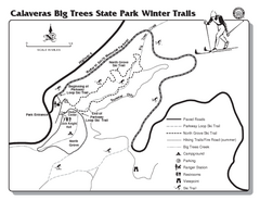
Calaveras Big Trees State Park Winter Map
Map of park with detail of winter ski trails and recreation zones
101 miles away
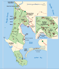
Bodega Bay Park Map
Park map of the Sonoma Coast State Beach park lands in Bodega Bay, California. Shows roads, trails...
101 miles away

Rockville Hills Regional Park Map
Trail Map, Two small lakes, picnic areas
101 miles away
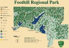
Foothill Regional Park Map
Park map of Foothill Regional Park in Sonoma County, California. Shows trails and 3 lakes.
103 miles away
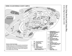
Sierra College Campus Map
Sierra College Campus Map. All buildings shown.
104 miles away

California Counties Map
106 miles away
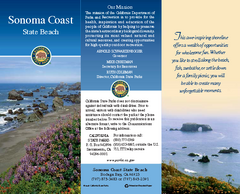
Sonoma Coast State Beach Map
Map of beach and park with detail of trails and recreation zones
106 miles away
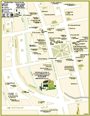
Downtown Healdsburg, California Map
Tourist maps of downtown Healdsburg, California. First map shows restaurants, galleries, wine...
109 miles away
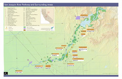
San Joaquin River Parkway Map
Map of the San Joaquin River Parkway. "The San Joaquin River Parkway is a mosaic of parks...
109 miles away
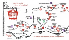
Apple Hill tourist map
Map of Apple Hill growers in Camino, California. Shows vineyards and orchards.
111 miles away
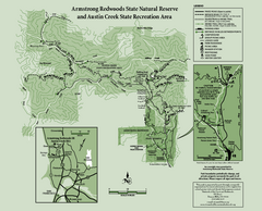
Armstrong Redwoods State Natural Reserve Map and...
Park map of Armstrong Redwoods State Natural Reserve and Austin Creek State Recreation Area in...
111 miles away
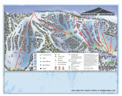
Dodge Ridge Ski Area Ski Trail Map
Trail map from Dodge Ridge Ski Area, which provides downhill, nordic, and terrain park skiing. It...
112 miles away
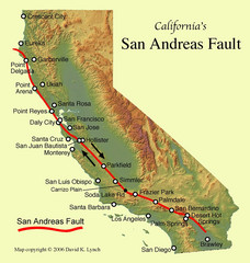
San Andreas Fault, California Map
112 miles away
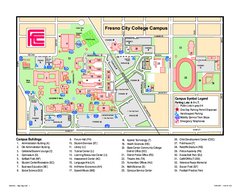
Fresno City College Campus Map
Fresno City College Campus Map. Shows all areas.
112 miles away

