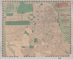
1905 San Francisco Street Map
Pre earthquake map of San Francisco, with several types of street cars and turnaround locations
51 miles away
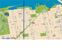
Downtown San Francisco: Fort Mason, the Marina...
Tourist map of Fort Mason, the Marina, and Pacific Heights area in downtown San Francisco...
51 miles away
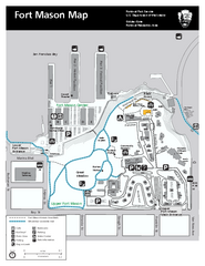
Fort Mason Map
Overview map of Fort Mason, San Francisco, California. Shows trails and points of interest.
51 miles away

Toro County Park Map
Trails of Toro County Park, Salinas Ca.
51 miles away
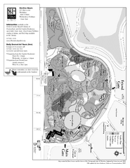
San Francisco Botanical Garden Map
Overview map of the San Francisco Botanical Garden in Golden Gate Park, San Francisco
51 miles away
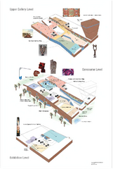
de Young Museum Map
Floorplan of the de Young Museum of Art in Golden Gate Park, San Francisco, California
51 miles away
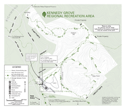
Kennedy Grove Recreation Area Trail Map
222-acre park
52 miles away
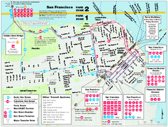
San Francisco Bus and Ferry Map
52 miles away
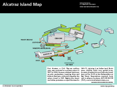
Alcatraz Island Map
Official NPS map of Alcatraz Island National Park in the San Francisco Bay, California
52 miles away
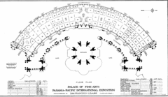
San Francisco Palace of the Fine Arts Map
52 miles away
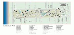
Golden Gate Park tour map
Map of Golden Gate Park in San Francisco in California. Shows all points of interest, picnic areas...
52 miles away
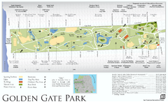
Golden Gate Park Map
Overview map of Golden Gate Park in San Francisco, CA
52 miles away
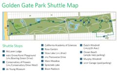
Golden Gate Park Shuttle Map
Shows shuttle stops in Golden Gate Park, SF.
52 miles away
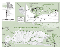
Wildcat Canyon Regional Park Map
52 miles away
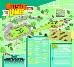
Outside Lands Festival Map 2010
Official Outside Lands Festival map 2010. Held Aug 14-15, 2010 in Golden Gate Park, San Francisco
52 miles away
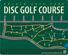
Golden Gate Park Disc Golf Course Map
Disc golf course map of 18-hole course in Golden Gate Park, San Francisco, CA. Officially opened...
52 miles away
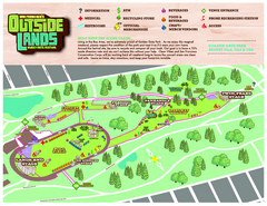
San Francisco Outside Lands Music Festival Map
Official 2008 map of the Outside Lands Music & Arts Festival in Golden Gate Park, San Francisco...
52 miles away
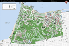
Presidio of San Francisco detail map
Detail map of the Presidio of San Francisco from NPS. Shows hiking/walking trails and POIs such as...
52 miles away
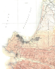
Monterey Map
52 miles away
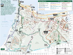
Presidio Trail and Overlook Map
Trail map of the Presidio in San Francisco. Shows 12 major trails (both existing and proposed) and...
52 miles away
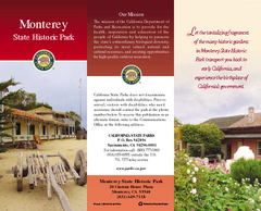
Monterey State Historic Park Map
Map of park with detail of trails and recreation zones
53 miles away
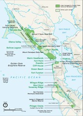
Golden Gate National Recreation Area Area Map
53 miles away
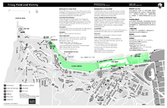
Crissy Field Map
Official NPS map of Crissy Field and vicinity in the Presidio of San Francisco, CA
53 miles away
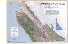
Monterey Wine Country: Appellation Overview Map
The Monterey region is world-famous for unparalleled scenic beauty, golf, and cuisine. Millions of...
53 miles away
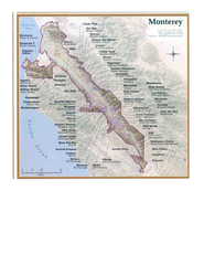
Monterey Wine Country: Appellation Overview Map
The Monterey region is world-famous for unparalleled scenic beauty, golf, and cuisine. Millions of...
53 miles away
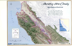
Monterey Wine Country: Appellation Overview Map
The Monterey region is world-famous for unparalleled scenic beauty, golf, and cuisine. Millions of...
53 miles away
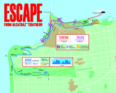
Escape From Alcatraz Triathlon Course Map 2009
Official course map of the 2009 Escape From Alcatraz Triathlon in San Francisco
53 miles away

Laguna Seca Raceway Map
Overview map of the Laguna Seca Raceway. Shows track, parking, and facilities.
53 miles away
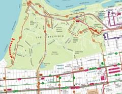
Baker Beach, San Francisco Tourist Map
53 miles away
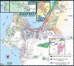
Monterey Area Map
Shows Monterey / Carmel area. Has legend on it with route highlighted to Naval housing.
53 miles away
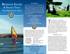
Brannan Island & Franks Tract State...
Map of park with detail of trails and recreation zones
53 miles away
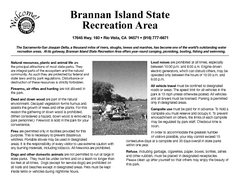
Brannan Island Campground Map
Map of park with detail of trails and recreation zones
53 miles away
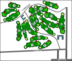
Lincoln Park Golf Course Map
54 miles away
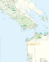
Golden Gate National Recreation Area Detail Map
54 miles away
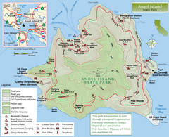
Angel Island State Park Map
Official map of Angel Island State Park in the San Francisco Bay. Shows paved and unpaved roads...
54 miles away
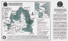
Angel Island State Park Map
Map of park with detail of trails and recreation zones
54 miles away
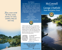
McConnell State Recreation Area Map
Map of park with detail of trails and recreation zones
54 miles away
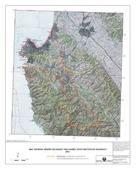
Monterey Peninsula and Carmel River Watershed...
This map contains a digital raster graphic topographic base map of the Monterey Peninsula Water...
55 miles away
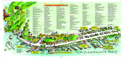
Sausalito Tourist Map
Visitor map of Sausalito, California. Shows restaurants, shopping, and other points of interest
56 miles away
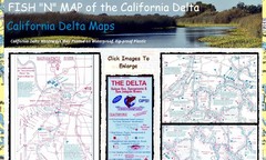
California Delta Maps Map
FISH "N" MAP of the California Delta. Navigation Map with GPS Locations. Printed on...
56 miles away

