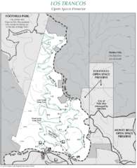
Los Trancos Open Space Preserve Map
Trail map of Los Trancos Open Space Preserve. Shows 274 acres, 5.2 miles of trails.
26 miles away
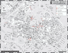
Stanford University Map
Stanford University Campus Map. All buildings shown.
27 miles away
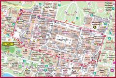
Cardinal Walk Map
Map of Stanford University campus with Cardinal Walk detail
27 miles away
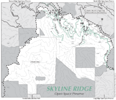
Skyline Ridge Open Space Preserve Map
Trail map of Skyline Ridge Open Space Preserve. Covers 2143 acres and 10.9 miles of trails
27 miles away

Arastradero Preserve Map
Trail map of Arastradero Preserve shows 10.25 miles of trails.
27 miles away
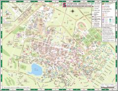
Stanford University Map
A map of the Stanford University campus.
27 miles away
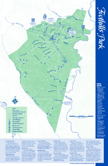
Palo Alto Foothills Park Map
Trail map of Palo Alto Foothills Park. 1400 acres and 15 miles of trails.
27 miles away
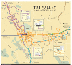
Tri Valley Transportation and Road Map
The Tri Valley cities roads and routes.
28 miles away
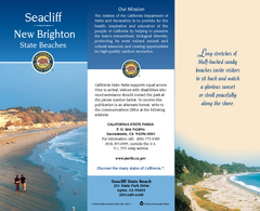
Seacliff & New Brighton State Beaches Map
Map of beaches and parks with detail of trails and recreation zones
28 miles away
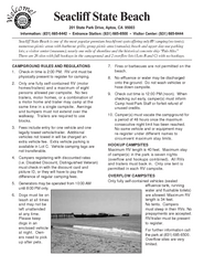
Seacliff State Beach Campground Map
Map of campground region of beach and park with detail of trails and recreation zones
28 miles away
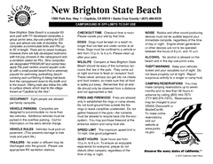
New Brighton State Beach Campground Map
Map of campground region of beach/park with detail of trails and recreation zones
28 miles away
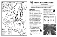
Portola Redwoods State Park Campground Map
Map of campground region of park with detail of trails and recreation zones
29 miles away
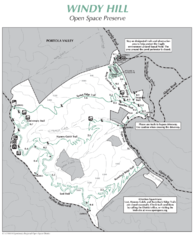
Windy Hill Open Space Preserve Map
Trail map of Windy Hill Open Space Preserve. 1312 acres and 12.2 miles of trails
29 miles away
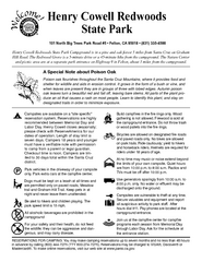
Henry Cowell Redwoods State Park Campground Map
Map of campground region of park with detail of trails and recreation zones
30 miles away
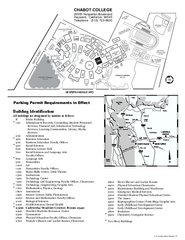
Chabot College Campus Map
Chabot College Campus Map. All buildings shown.
30 miles away
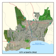
Santa Cruz City Limits Map
Map shows the city limits boundries of Santa Cruz, California
31 miles away
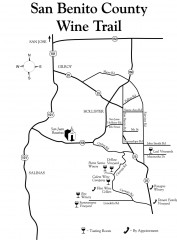
San Benito County Wine Trail Map
Wineries in the San Benito County, California area.
31 miles away
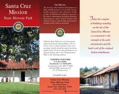
Santa Cruz Mission State Historic Park Map
Map of park and mission
31 miles away

Santa Cruz, California City Map
31 miles away
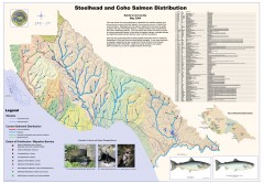
Steelhead and Coho Salmon Distribution Map...
Shows the current distribution of steelhead and resident rainbow trout and coho salmon in Santa...
31 miles away
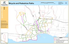
Santa Cruz, CA Bike Map
32 miles away
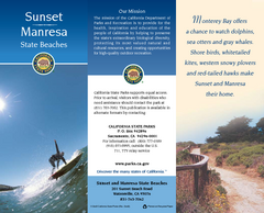
Sunset & Manresa State Beaches Map
Map of beaches and parks with detail of trails and recreation zones
32 miles away
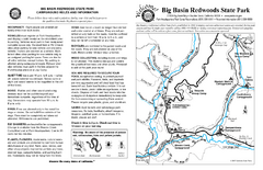
Big Basin Redwoods State Park Map
Map of park with detail of trails and recreation zones
32 miles away
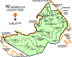
Wunderlich County Park Map
Trail map of Wunderlich County Park near Woodside, California. "The Alambique Trail offers a...
32 miles away
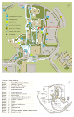
Cañada College Campus Map
Campus map of Cañada College, Redwood City, CA. Shows buildings.
32 miles away
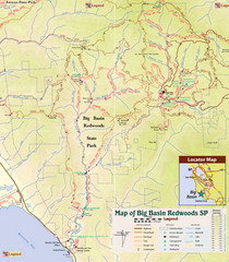
Big Basin Redwoods State Park Trail Map
Topographical trail map of Big Basin Redwoods State Park. Shows roads, trails, natural and other...
32 miles away
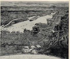
1936 San Francisco Bay Area Map Part 2
Guide to the San Francisco Bay Area, hand drawn over photograph
32 miles away
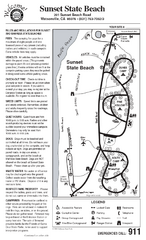
Sunset State Beach Campground Map
Map of park with detail of trails and recreation zones
33 miles away
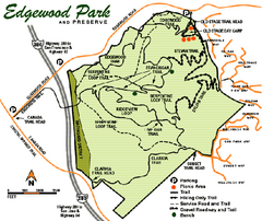
Edgewood County Park Trail Map
Trail map of Edgewood Park and Preserve in Redwood City, California.
33 miles away
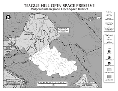
Teague Hill Open Space Preserve Map
Trail map of Teague Hill Open Space Preserve near Woodside, California. Only one trail enters a...
33 miles away
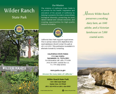
Wilder Ranch State Park Map
Map of park with detail of trails and recreation zones
34 miles away
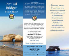
Natural Bridges State Beach Map
Map of beach and park with detail of trails and recreation zones
34 miles away
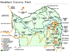
Huddart County Park Map
Trail map of Huddart County Park near Woodside, California.
34 miles away
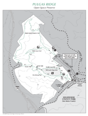
Pulgas Ridge Open Space Preserve Map
Trail map of Pulgas Ridge Open Space Preserve. 366 acres and 6 miles of trails
34 miles away
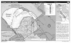
Phleger Estate Trail Map
Trail map of Phleger Estate, part of the Golden Gate National Recreation Area, in Woodside...
34 miles away
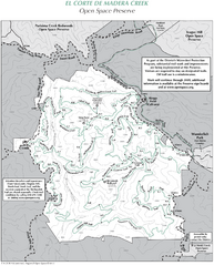
El Corte de Madera Open Space Preserve Map
Trail map of El Corte de Madera Open Space Preserve. Shows all mountain biking, hiking, and...
34 miles away
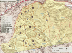
Pacheco State Park Trail Map
Map of park with details of different trails
35 miles away
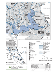
Lake Chabot Trail Map
35 miles away
Butano State Park Map
Map of park with detail of trails and recreation zones
35 miles away
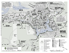
Anthony Chabot Regional Park Map - South
35 miles away

