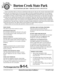
Burton Creek State Park Map
Map of park with detail of trails and recreation zones
152 miles away
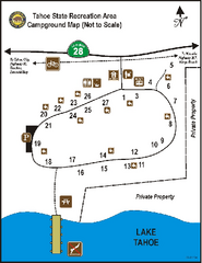
Tahoe State Recreation Area Campground Map
Map of park with detail of trails and recreation zones
152 miles away
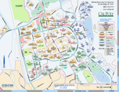
Cal Poly Campus Map
Cal Poly University at San Luis Obispo Campus Map. Includes all buildings, streets, sports fields...
152 miles away
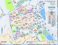
Cal Poly Campus Map
Campus map of California Polytechnic State University in San Luis Obispo, CA
153 miles away
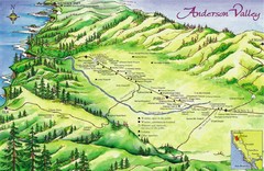
Anderson Valley Wine Map
Shows wineries/vineyards in Anderson Valley, California along Route 128 from Navarro, California to...
153 miles away
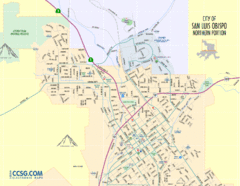
San Luis Obispo City Map - Northern Portion
City map of northern portion of San Luis Obispo, California
153 miles away
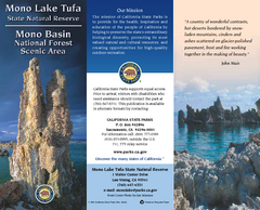
Mono Lake Tufa State Natural Reserve Map
Map of reserve with detail of trails and recreation zones
153 miles away
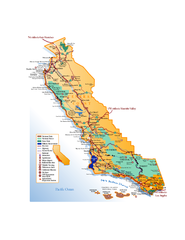
California Central Coast Map
Large tourist map of California's Central Coast. From Monterey to Santa Barbara. Shows all...
153 miles away
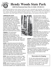
Hendy Woods State Park Campground Map
Map of campground region park with detail of trails and recreation zones
154 miles away
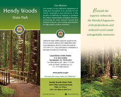
Hendy Woods State Park Map
Map of park with detail of trails and recreation zones
154 miles away
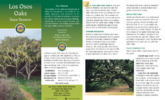
Los Osos Oaks State Reserve Map
Map of reserve with detail of trails and recreation zones
154 miles away
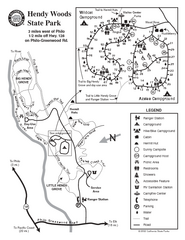
Hendy Woods State Park Map
Park map of Hendy Woods State Park in Philo, California. Shows trails, campgrounds, and other...
154 miles away
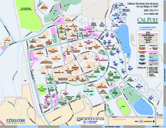
California Polytechnic State University Map
California Polytechnic State University Campus Map. All buildings shown.
154 miles away
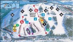
Soda Springs Ski Trail Map
Trail map from Soda Springs, which provides downhill and terrain park skiing. It has 2 lifts...
154 miles away
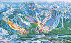
Sugar Bowl Resort Ski Trail Map
Trail map from Sugar Bowl Resort, which provides downhill and terrain park skiing. It has 12 lifts...
154 miles away
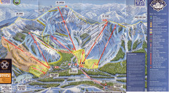
Sugar Bowl Ski Trail Map
Ski trail map of Sugar Bowl ski area from the 2008-09 season. Scanned.
154 miles away
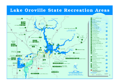
Lake Oroville State Recreation Area Map
Recreation overview map of Lake Oroville State Recreation Area near Oroville, California. Show all...
155 miles away
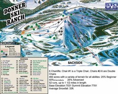
Donner Ski Ranch Ski Trail Map
Trail map from Donner Ski Ranch, which provides downhill and terrain park skiing. It has 6 lifts...
155 miles away
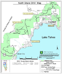
North Shore Lake Tahoe Off-Highway Vehicle Map
Off-highway vehicle map of the area around the North shore of Lake Tahoe. Roads open to motorcycles...
155 miles away
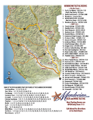
Mendocino Beer and Wine Tasting Map
Beer and wine tasting map of Mendocino county, California. Show breweries and wineries on the...
156 miles away
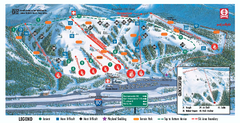
Boreal Ski Trail Map
Official ski trail map of Boreal ski area
156 miles away
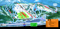
Boreal Mountain Resort Ski Trail Map
Trail map from Boreal Mountain Resort, which provides downhill, night, and terrain park skiing. It...
156 miles away
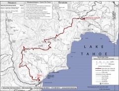
Tahoe Rim Trail: Tahoe City to Brockway Summit Map
Topographic hiking map of the Tahoe City-Brockway Summit leg of the Tahoe Rim Trail. Shows trail...
156 miles away
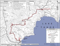
Tahoe Rim Trail Map
156 miles away
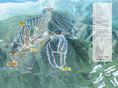
Northstar-at-Tahoe Ski Trail Map
Official trail map of Northstar-at-Tahoe ski area from the 2009-2010 season
157 miles away
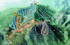
Northstar Ski Trail Map
Official ski trail map of Northstar-at-Tahoe ski area from the 2007-2008 season.
157 miles away
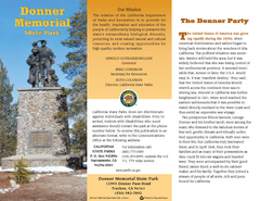
Donner Memorial State Park Map
Map of park with detail of trails and recreation zones
158 miles away
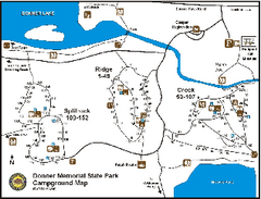
Donner Memorial State Park Campground Map
Map of park with detail of trails and recreation zones
158 miles away

Bodie State Park SW Map
Map of park with detail of trails and recreation zones
158 miles away

Bodie State Park SE Map
Map of park with detail of trails and recreation zones
158 miles away
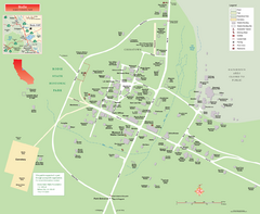
Bodie State Park Map
Map of park with detail of trails and recreation zones
159 miles away

Bodie State Park NW Map
Map of park with detail of trails and recreation zones
159 miles away
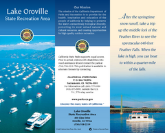
Lake Oroville State Recreation Area Map
Map of recreation area with detail of trails and recreation zones
159 miles away

Bodie State Park NE Map
Map of park with detail of trails and recreation zones
159 miles away

Tahoe Donner Ski Trail Map
Trail map from Tahoe Donner, which provides downhill, night, and nordic skiing. It has 3 lifts...
159 miles away
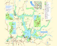
Lake Oroville State Recreation Area Map
Map of recreation area with detail of trails and recreation zones
159 miles away
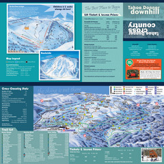
Tahoe Donner Cross Country Ski Trail Map
Ski trail map of Tahoe Donner Association. Shows both downhill and cross-country ski trails...
159 miles away
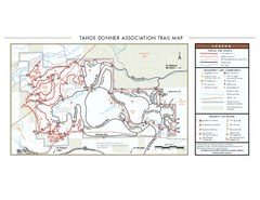
Tahoe Donner Ski Trail Map
Official ski trail map of Tahoe Donner Association. Shows both downhill and cross-country ski...
159 miles away
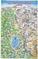
Reno and Lake Tahoe Area Golf map
Illustrated map showing all golf courses in the Reno/lake Tahoe area, 2006 version. To view more...
161 miles away
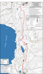
Tahoe Rim Trail: Tahoe Meadows to Spooner Summit...
Topographic hiking map of the Tahoe Meadows-Spooner Summit leg of the Tahoe Rim Trail. Shows bike...
161 miles away

