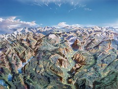
Yosemite oblique Map
Oblique Panorama map of Yosemite National Park
123 miles away
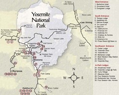
Yosemite National Park Map
123 miles away
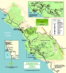
Salt Point State Park Map
Topo park map of Salt Point State Park and Kruse Rhododendron State Reserve. Shows trails by use...
124 miles away
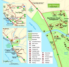
San Simeon State Park West Map
Map of west region of park with detail of trails and recreation zones
125 miles away
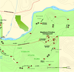
San Simeon State Park East Map
Map of east region of park with detail of trails and recreation zones
125 miles away

San Simeon State Park Map
Map of park with detail of trails and recreation zones
125 miles away

Yosemite Valley Park Map
Guide Map of the Yosemite National Forest
126 miles away
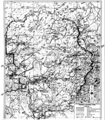
1931 Yosemite National Park Map
Yosemite National Park Map with trails and elevations
128 miles away
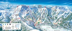
Kirkwood Ski Trail map 2006-07
Official ski trail map of Kirkwood ski area for the 2006-2007 season.
128 miles away
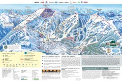
Kirkwood Ski Trail Map
Trail map from Kirkwood, which provides downhill, nordic, and terrain park skiing. It has 14 lifts...
128 miles away
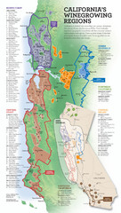
California Wine Map
Wine region map of state of California. Shows 100 American Viticultural Areas (AVAs). There are 4...
130 miles away
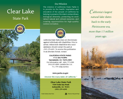
Clear Lake State Park Map
Map of park with detail of trails and recreation zones
130 miles away
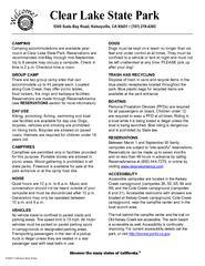
Clear Lake State Park Campground Map
Map of park with detail of trails and recreation zones
130 miles away
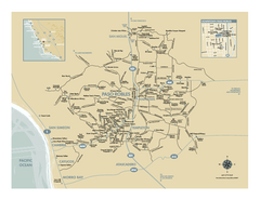
Paso Robles wine country map
Map of Paso Robles area vineyards and wineries.
131 miles away
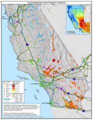
Concentrating Solar Power Prospects California Map
Shows power plants, concentrating solar resources, and transmission lines for all of California...
132 miles away
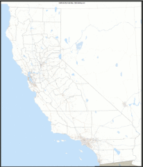
California Zip Code Map
Check out this Zip code map and every other state and county zip code map zipcodeguy.com.
132 miles away
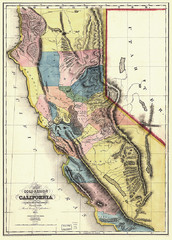
1851 California Regional Map
Great quality map of Californian regions in 1851.
132 miles away
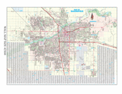
Bakersfield, California City Map
132 miles away
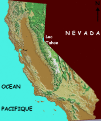
California elevation Map
California map showing elevations by contours, with Lake Tahoe identified.
132 miles away
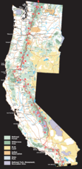
Pacific Crest Trail Route Overview Map
Western United States Map showing National Forests, State Parks, National Parks, Indian...
132 miles away
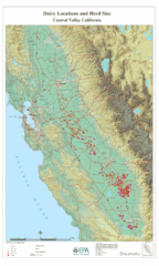
Dairy Locations and Herd Size for the Central...
Map of dairy locations, displayed by herd size in California's Central Valley. Base map...
132 miles away
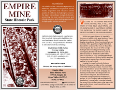
Empire Mine State Historic Park Map
Map of park with detail of trails and recreation zones
133 miles away
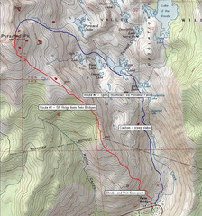
Pyramid Peak Ski Route Map
Backcountry ski route map of Pyramid Peak 9983 ft in the Desolation Wilderness near Lake Tahoe...
133 miles away
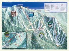
Sierra-at-Tahoe Ski Trail Map
Official ski trail map of Sierra-at-Tahoe ski area from the 2007-2008 season.
134 miles away
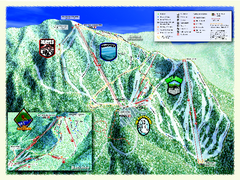
Sierra-at-Tahoe Ski Trail Map
Trail map from Sierra-at-Tahoe, which provides downhill and terrain park skiing. It has 12 lifts...
134 miles away
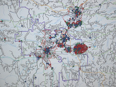
Nevada County Economic Resource Council Activity...
The ERC supports many different businesses in western Nevada County. We provide business assistance...
134 miles away
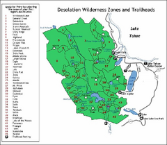
Desolation Wilderness, Lake Tahoe, California Map
Map of Desolation Wilderness, southwest of Lake Tahoe, California. Shows pack-in camping zones...
135 miles away
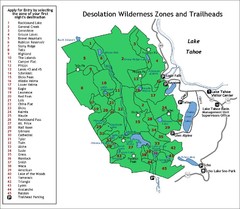
Desolation Wilderness Permits Zone Map
Zone and trailhead map of the Desolation Wilderness near Lake Tahoe, California. Use to figure out...
137 miles away
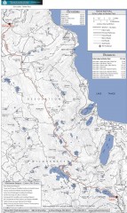
Tahoe Rim Trail: Echo Lake to Barker Pass Map
Topographic hiking map of the Echo Lake-Barker Pass leg of the Tahoe Rim Trail. Shows pedestrian...
137 miles away
South Yuba River State Park Map
Map of park with detail of trails and recreation zones
137 miles away
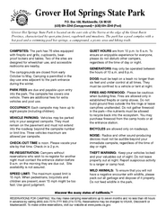
Grover Hot Springs State Park Campground Map
Map of park with detail of trails and recreation zones
138 miles away
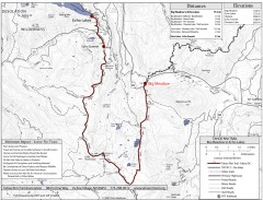
Tahoe Rim Trail: Big Meadow to Echo Lake Map
Topographic hiking map of the Big Meadow-Echo Lake leg of the Tahoe Rim Trail. Bike and pedestrian...
138 miles away
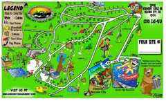
Harmony Ridge Resort Map
140 miles away
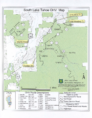
South Lake Tahoe Off-Highway Vehicle Map
Off-Highway Vehicle Map of South Lake Tahoe, California. Shows roads open to motorcycles, ATVs, and...
140 miles away
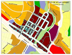
City of Atascadero Map
141 miles away
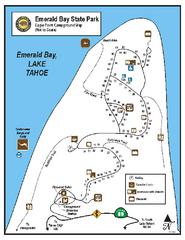
Emerald Bay State Park Campground Map
Map of park with detail of trails and recreation zones
142 miles away
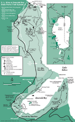
Emerald Bay State Park and DL Bliss State Park...
Trail map of Emerald Bay State Park and DL Bliss State Park on the shores of Lake Tahoe, California
142 miles away
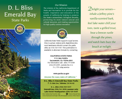
D.L. Bliss State Park Map
Map of park with detail of trails and recreation zones
143 miles away
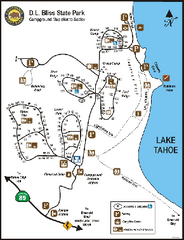
D.L. Bliss State Park Campground Map
Map of park with detail of trails and recreation zones
143 miles away
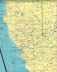
Northern California Map
Map of Northern California including cities, counties, and rivers
143 miles away

