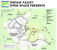
Indian Valley Open Space Preserve Map
35 miles away

Motorcycle Parking in Downtown San Jose...
Motorcycle parking map of downtown San Jose, California. Shows locations and inventory of parking...
35 miles away
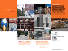
Public Art in Downtown San Jose, California Map
Shows locations of public art in downtown San Jose, California, as well as public transportation...
36 miles away
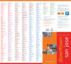
Walking Guide to Downtown San Jose, California Map
Tourist walking map of downtown San Jose, California. Lists and shows locations of dining, art...
36 miles away
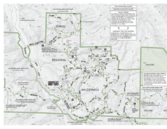
Sunol Regional Wilderness Trail Map - West
Trail map of western portion of Sunol Regional Wilderness in Sunol, California.
36 miles away
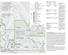
Sunol Regional Wilderness Trail Map - East
Trail map of eastern portion of Sunol Regional Wilderness in Sunol, California.
36 miles away
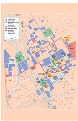
Downtown San Jose, California Map
Tourist map of downtown San Jose, California. Museums, theaters, parks, and other points of...
36 miles away
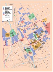
San Jose Downtown map
San Jose sowntown street map showing public transportation and parking.
36 miles away
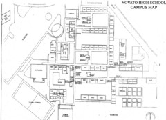
Novato High School Campus Map
36 miles away
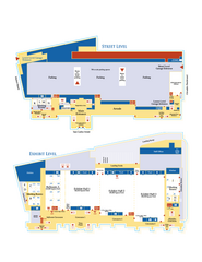
McEnery Convention Center, San Jose, California...
Floorplan map of McEnery Convention Center in San Jose, California.
36 miles away
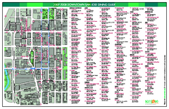
Dining in Downtown San Jose, California Map
Map of dining opportunities in downtown San Jose, California. Shows locations and telephone numbers...
36 miles away
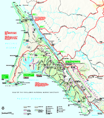
Point Reyes National Seashore Map
Official NPS map of Point Reyes National Seashore in Marin County, California. Shows trails, roads...
37 miles away
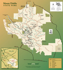
Mt. Diablo State Park Map
Trail map of Mt. Diablo State Park near Walnut Creek, CA
37 miles away
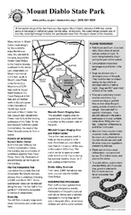
Mount Diablo State Park Campground Map
Map of park with detail of trails and recreation zones
37 miles away

San Jose, California City Map
37 miles away
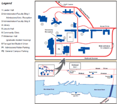
Touro University Map
Campus map of Touro University's Mare Island Campus.
37 miles away
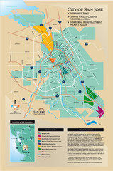
San Jose Enterprise Zone map
Map of Enterprise Zone in San Jose, CA
38 miles away
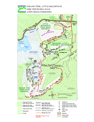
Indian Tree, Little Mountain, and Verissimo Hills...
38 miles away
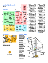
San Jose State University Map
Campus Map of San Jose State University in California. All buildings are shown.
38 miles away
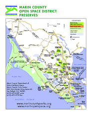
Marin Open Space Preserves Map
Shows all Open Space Preserves in Marin County, CA.
39 miles away
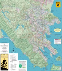
Marin, California Bike Map
39 miles away
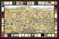
Livermore Winery Tour Map
Livermore Valley Wine Map & Visitors Guide - A great source for information about the Livermore...
40 miles away

Mt. Burdell Open Space Preserve Map
Trail map of Mt. Burdell Open Space Preserve and Olompali State Historic Park in Novato, Marin...
40 miles away
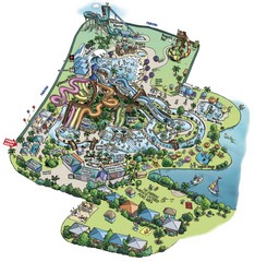
Raging Waters San Jose Map
Simple map of this fun water park for the whole family!
40 miles away
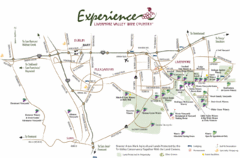
Livermore Valley Wine Map
Map showing the wineries in the Livermore Valley of California.
40 miles away
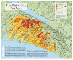
Point Reyes Vision Fire Map
Map of the burn intensity of the 1995 Vision Fire in Point Reyes National Seashore.
40 miles away
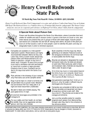
Henry Cowell Redwoods State Park Campground Map
Map of campground region of park with detail of trails and recreation zones
40 miles away
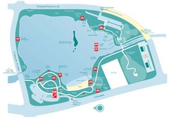
Almaden Lake Park Map
40 miles away
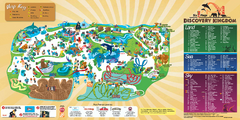
Six Flags Discovery Kingdom Park Map
Six Flags Discovery Kingdom theme park (formerly Marine World) in Vallejo, California. Experience...
41 miles away

Mount Whitney Route Map
43 miles away
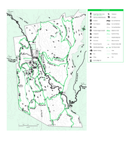
Joseph D. Grant County Park Map
Trail map of Joseph D Grant County Park in Santa Clara County, California
46 miles away
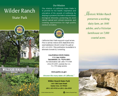
Wilder Ranch State Park Map
Map of park with detail of trails and recreation zones
46 miles away
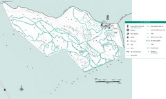
Motorcycle County Park Map
Map of Motorcycle County Park in Santa Clara County near San Jose, California. Shows all park...
47 miles away
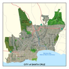
Santa Cruz City Limits Map
Map shows the city limits boundries of Santa Cruz, California
47 miles away
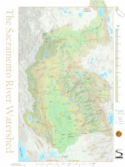
Sacramento River Watershed Map
The map shows, rivers, cities, counties, and roads surrounding the Sacramento River.
48 miles away

Santa Cruz, California City Map
48 miles away
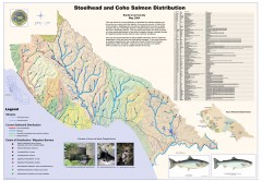
Steelhead and Coho Salmon Distribution Map...
Shows the current distribution of steelhead and resident rainbow trout and coho salmon in Santa...
48 miles away
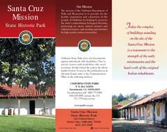
Santa Cruz Mission State Historic Park Map
Map of park and mission
48 miles away
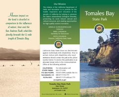
Tomales Bay State Park Map
Map of park with detail of trails and recreation zones
48 miles away
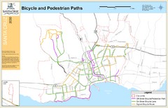
Santa Cruz, CA Bike Map
48 miles away

