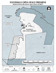
Foothills Regional Open Space Preserve Map
Preserve map of 212 acre Foothills Regional Open Space Preserve. A 0.4 mile trail leads from Page...
23 miles away
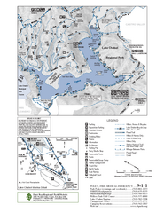
Lake Chabot Trail Map
23 miles away
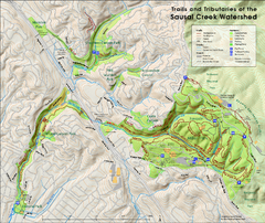
Sausal Creek Watershed Trail Map
Trail map of the Sausal Creek Watershed in Oakland, California. Show trails in Joaquin Miller Park...
23 miles away
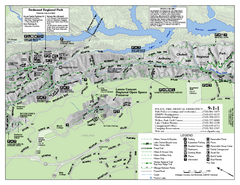
Leona Canyon Regional Open Space Preserve Map
23 miles away
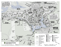
Anthony Chabot Regional Park Map - South
23 miles away
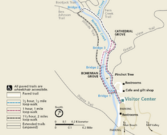
Muir Woods Trail Map
Shows paved loop walks and extended unpaved trails in Muir Woods National Monument, California
23 miles away
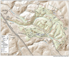
Joaquin Miller Park Map
Trail map of Joaquin Miller Park in Oakland, California. 500 acre park 9 miles from downtown...
23 miles away
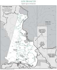
Los Trancos Open Space Preserve Map
Trail map of Los Trancos Open Space Preserve. Shows 274 acres, 5.2 miles of trails.
23 miles away
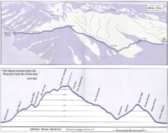
Dipsea Race Course Map
Course map of the annual Dipsea Trail Run Race. Shows birds-eye view and elevation profile of the...
23 miles away
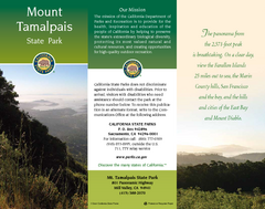
Mount Tamalpais State Park Map
Map of park with detail of trails and recreation zones
23 miles away
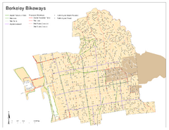
Bikeway Network of Berkeley, California Map
Map of current and proposed bike paths, lanes, and boulevards in Berkeley, California.
23 miles away
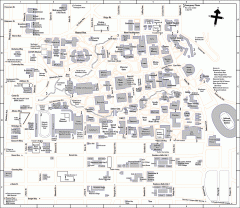
University of California at Berkeley Map
Campus map of the University of California at Berkeley. All buildings shown.
23 miles away
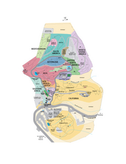
UC Botanical Gardens Map
Unfortunately this is a copy of an interactive map, so is slightly blurred at full size
24 miles away
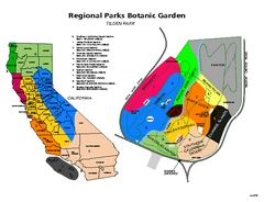
Tilden Regional Park and Native Plant Garden Map
24 miles away
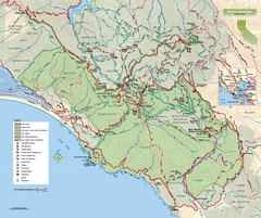
Mount Tamalpais State Park Map
Topographic trail map of Mt Tamalpais State Park in Marin County, California.
24 miles away
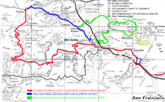
Alpine Dam Seven Sisters Road Bike Route Map...
Road biking route map for the classic Alpine Dam/Seven Sisters loop in Marin County from San...
24 miles away
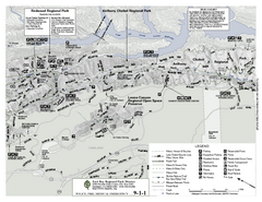
Anthony Chabot Regional Park Map - North
Trail map of the north section of Anthony Chabot Regional Park in the East Bay Hills.
24 miles away
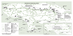
Redwood Regional Park Map
Trail map of Redwood Regional Park in Oakland, California. Shows hiking, horse, and bike trails.
24 miles away
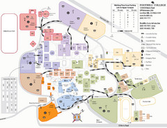
Foothill College Campus Map
Campus map of Foothill College in Los Altos Hills, CA for 2008-2009.
24 miles away
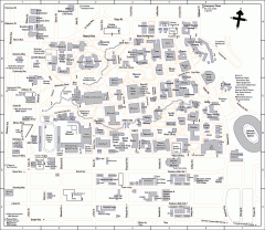
UC Berkeley Map
UC Berkeley campus map
24 miles away

1895 San Francisco Bay Area Map
Guide to the San Francisco Bay Area in 1895
24 miles away
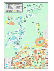
University of California, Berkeley Visitor Map
Colorful Map that illustrates the location of all buildings, parking areas, and streets in and...
24 miles away
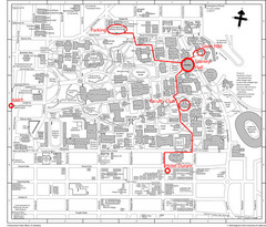
UC Berkely Campus Map
24 miles away
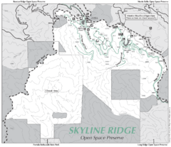
Skyline Ridge Open Space Preserve Map
Trail map of Skyline Ridge Open Space Preserve. Covers 2143 acres and 10.9 miles of trails
25 miles away
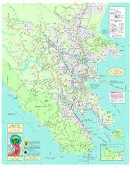
Marin Bicycle Map - Side A
Bike route map of Marin County, California. Shows primary and secondary road routes, paved and...
25 miles away
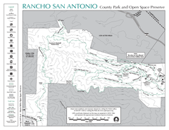
Rancho San Antonio Open Space Preserve Map
Park map of Rancho San Antonio Open Space Preserve near Los Altos, CA. Encompasses 3800 acres and...
25 miles away
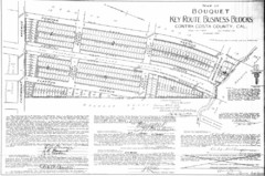
1914 Bouquet Key Route Business Block Map
This map shows the borders of the Bouquet Business District in Contra Costa County, CA
25 miles away
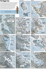
San Francisco Sea Level Rise Map
Guide to the San Francisco Bay Area, and the areas that will be underwater if there is a 1 meter...
25 miles away
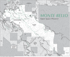
Monte Bello Open Space Preserve Map
Trail map of Monte Bello Open Space Preserve. Covers 3,142 acres and 15.5 miles of trails
25 miles away
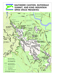
Blithedale Summit Open Space Preserve Map
Trail map of Blithedale Summit Open Space Preserve, Baltimore Canyon Open Space Preserve, and King...
26 miles away
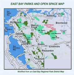
Eastbay Parks and Open Spaces Map
26 miles away
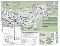
Tilden Regional Park Map - South
26 miles away
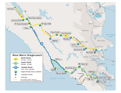
West Marin Bus Map
Bus route map of West Marin Stagecoach. Shows routes to Inverness, Point Reyes Station, Olema...
26 miles away
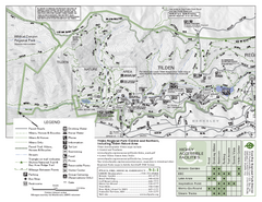
Tilden Regional Park Map - North
26 miles away
Butano State Park Map
Map of park with detail of trails and recreation zones
26 miles away
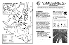
Portola Redwoods State Park Campground Map
Map of campground region of park with detail of trails and recreation zones
26 miles away
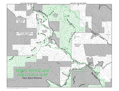
Long Ridge Open Space Preserve Map
27 miles away

Southern Golden Gate National Recreation Map
27 miles away
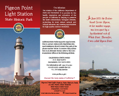
Pigeon Point Light Station State Historic Park Map
Map of park with detail of trails and recreation zones
27 miles away
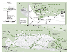
Wildcat Canyon Regional Park Map
28 miles away

