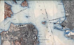
San Francisco Map 1915
16 miles away

Farwell’s Map of Chinatown in San Francisco...
This map of vice in San Francisco's Chinatown in 1885. A fascinating historical document, as...
16 miles away
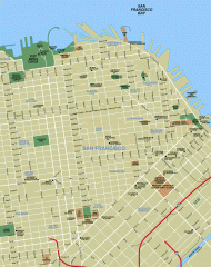
Downtown San Francisco tourist map
Tourist map of Downtown San Francisco spanning several neighborhoods, showing points of interest.
16 miles away
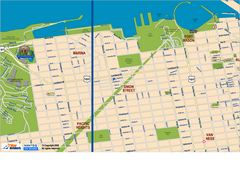
Downtown San Francisco: Fort Mason, the Marina...
Tourist map of Fort Mason, the Marina, and Pacific Heights area in downtown San Francisco...
16 miles away
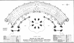
San Francisco Palace of the Fine Arts Map
16 miles away
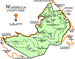
Wunderlich County Park Map
Trail map of Wunderlich County Park near Woodside, California. "The Alambique Trail offers a...
16 miles away
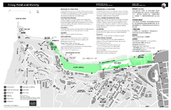
Crissy Field Map
Official NPS map of Crissy Field and vicinity in the Presidio of San Francisco, CA
16 miles away
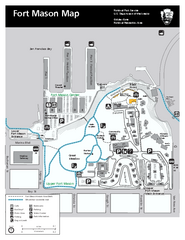
Fort Mason Map
Overview map of Fort Mason, San Francisco, California. Shows trails and points of interest.
16 miles away
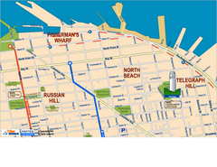
Downtown San Francisco: Fisherman's Wharf...
Tourist map of Fisherman's Wharf, North Beach, and Telegraph Hill area in downtown San...
16 miles away
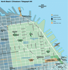
North Beach, Chinatown, Telegraph Hill map
Tourist map of North Beach, Chinatown, and Telegraph Hill in San Francisco
16 miles away
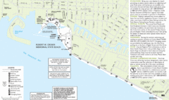
Crown Memorial State Beach Map
17 miles away
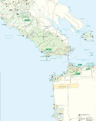
Golden Gate National Recreation Area Detail Map
18 miles away
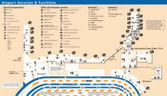
Oakland International Airport (OAK) Map
Terminal map. Shows all airport services and facilities
18 miles away
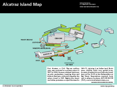
Alcatraz Island Map
Official NPS map of Alcatraz Island National Park in the San Francisco Bay, California
18 miles away
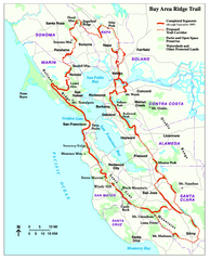
Bay Area Ridge Trail Map
Map of the Bay Area Ridge Trail. Shows completed segments through Sep 2009. "a 550+ mile...
18 miles away
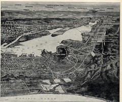
1936 San Francisco Bay Area Map Part 2
Guide to the San Francisco Bay Area, hand drawn over photograph
18 miles away
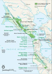
Golden Gate National Recreation Area Area Map
18 miles away
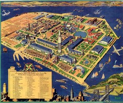
Golden Gate International Expo Cartograph 1939 Map
Bird's eye view of the Golden Gate International Expo in 1939 at Treasure Island in the San...
18 miles away
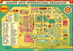
Golden Gate International Expo 1939 Map
Map of the 1939 Golden Gate International Expo.
18 miles away
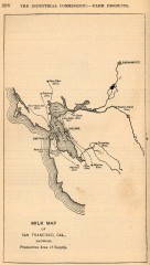
Antique map of San Francisco from 1901
"Milk Map of San Franciso, Cal., Showing Productive Area of Supply." From Report of the...
19 miles away
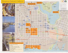
Oakland Tourist Map
Tourist map of downtown Oakland, California. Shows shopping districts.
19 miles away
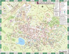
Stanford University Map
A map of the Stanford University campus.
19 miles away
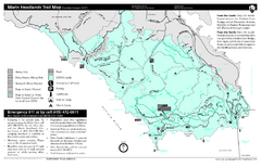
Marin Headlands Trail Map
Trail map of Marin Headlands in Marin County, California. Shows trails with distances by use type...
19 miles away
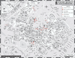
Stanford University Map
Stanford University Campus Map. All buildings shown.
19 miles away
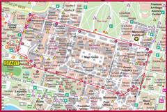
Cardinal Walk Map
Map of Stanford University campus with Cardinal Walk detail
19 miles away
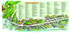
Sausalito Tourist Map
Visitor map of Sausalito, California. Shows restaurants, shopping, and other points of interest
20 miles away

Downtown Oakland, California Map
Tourist map of downtown Oakland, California. Shows museums, parks, neighborhoods of interest and...
20 miles away
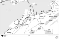
Bay Area, CA Bike Map
20 miles away
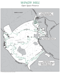
Windy Hill Open Space Preserve Map
Trail map of Windy Hill Open Space Preserve. 1312 acres and 12.2 miles of trails
20 miles away
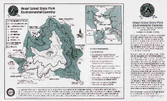
Angel Island State Park Map
Map of park with detail of trails and recreation zones
20 miles away
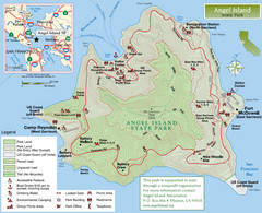
Angel Island State Park Map
Official map of Angel Island State Park in the San Francisco Bay. Shows paved and unpaved roads...
20 miles away
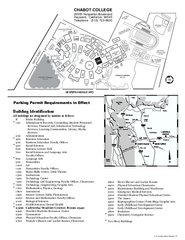
Chabot College Campus Map
Chabot College Campus Map. All buildings shown.
21 miles away

Arastradero Preserve Map
Trail map of Arastradero Preserve shows 10.25 miles of trails.
21 miles away
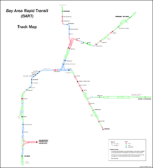
Bay Area Rapid Transit (BART) Track Map
Map of Bay Area Rapid Transit (BART) tracks. Includes all train stops and details about the tracks.
21 miles away
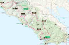
Headlands 50K Map (for 2011 race and future races)
Course For 2011 Headlands 50K
21 miles away
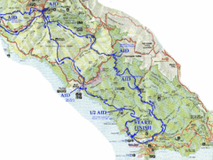
Golden Gate Headlands 50k Course Map
Here is a map of the 31-mile course for the Golden Gate Headlands: USATF National 50K Trail...
21 miles away
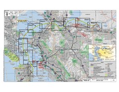
San Francisco Trans Bay Cable Project EIR Map
Map A.2-1 Detailed Project Location
21 miles away

Palo Alto Baylands Nature Preserve Map
Map of the Palo Alto Baylands Nature Preserve in Palo Alto, CA. Shows trails, including part of...
22 miles away
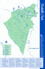
Palo Alto Foothills Park Map
Trail map of Palo Alto Foothills Park. 1400 acres and 15 miles of trails.
22 miles away
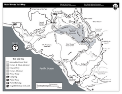
Muir Woods Trail Map
Black and white trail map of Muir Woods National Monument and surrounding Mount Tamalpais State...
22 miles away

