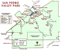
San Pedro Valley Park Map
Park map of San Pedro Valley County Park in San Mateo County, California.
0 miles away
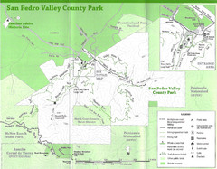
San Pedro Valley County Park Map
Trail map of San Pedro Valley County Park. 1,100 acre park with miles of trails and waterfall...
less than 1 mile away
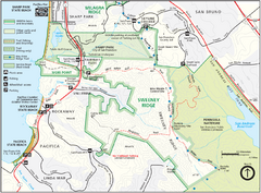
Sweeney Ridge Map
Trail map of Sweeney Ridge, part of the Golden Gate National Recreational Area.
3 miles away
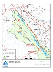
Fifield-Cahill Ridge Trail Map
Trail map of the Fifield-Cahill Ridge Trail in the San Francisco Peninsula Watershed.
4 miles away
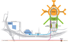
San Francisco International Airport Map
6 miles away
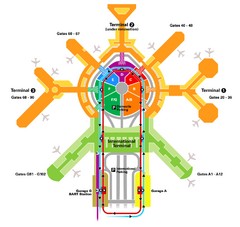
San Francisco Initernational Airport SFO Terminal...
AirTrain, airline, and gate locations map of SFO.
6 miles away
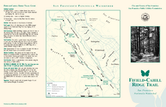
Fifield-Cahill Ridge Trail Map
Trail map and brochure of the Fifield-Cahill Ridge Trail in the San Francisco Peninsula Watershed.
6 miles away
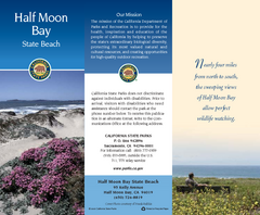
Half Moon Bay State Beach Map
Map of beach with detail of trails and recreation zones
7 miles away
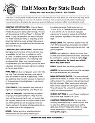
Half Moon Bay State Beach Campground Map
Map of beach with detail of trails and recreation zones
7 miles away

San Mateo County Mid-County Trail Map
Trail map of mid-county trails in San Mateo County, California.
8 miles away
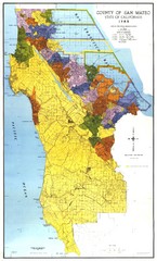
San Mateo County Map
Official county map of San Mateo, California. Scale 1"=5000'
9 miles away
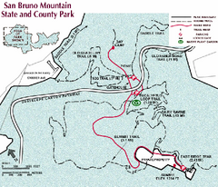
San Bruno Mountain Park Map
Park map of San Bruno Mountain State and County Park. Shows trails in northwest part of park.
9 miles away
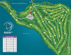
Harding Park Golf Course Map
Course map of Harding Park Golf Course in San Francisco, CA. 18 hole, par 70 course
10 miles away
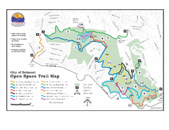
Water Dog Lake Park Trail Map
Trail map of Water Dog Lake Park. Open to mountain biking.
10 miles away
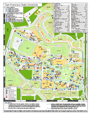
San Francisco State University Map
Campus map of San Francisco State University. All areas shown.
11 miles away
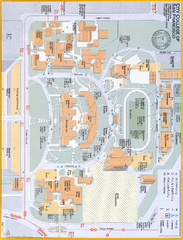
City College of San Francisco - Ocean Campus Map
City College of San Francisco - Ocean Campus Map. All buildings shown.
11 miles away
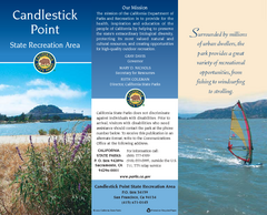
Candlestick Point Recreation Area Map
Map of park with detail of trails and recreation zones
11 miles away
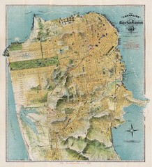
Chevalier map of San Francisco (1912)
Breathtaking map of San Francisco in 1912 by August Chevalier from the BIG Map Blog by way of DRMC.
12 miles away
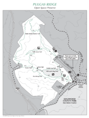
Pulgas Ridge Open Space Preserve Map
Trail map of Pulgas Ridge Open Space Preserve. 366 acres and 6 miles of trails
12 miles away
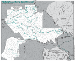
Purisima Open Space Preserve Map
Trail map of Purisima Open Space Preserve. Shows all mountain biking, hiking, and horseback riding...
12 miles away
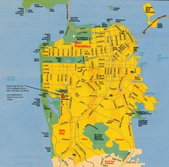
San Francisco City Map
City map of San Francisco with Lowell High School highlighted
12 miles away
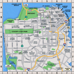
San Francisco Neighborhoods Map
13 miles away
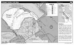
Phleger Estate Trail Map
Trail map of Phleger Estate, part of the Golden Gate National Recreation Area, in Woodside...
13 miles away
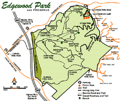
Edgewood County Park Trail Map
Trail map of Edgewood Park and Preserve in Redwood City, California.
13 miles away
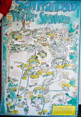
San Francisco Water System Cartoon Map
Cartoon map of the San Francisco Water System. From photo of poster from San Francisco Public...
13 miles away
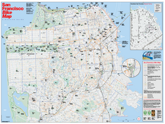
San Francisco Bike Map
Map showing bike paths, bike lanes, bike shops, public transportation, and grades of hills in San...
13 miles away
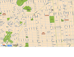
Downtown San Francisco: Castro and Noe Valley Map
Tourist map of the Castro and Noe Valley area in downtown San Francisco, California. Shows Twin...
13 miles away
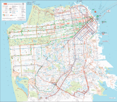
San Francisco Public Transportation map
Transit Muni system map shows all bus, subway metro, cable car, and streetcar routes.
13 miles away
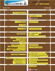
San Francisco Mission Restaurant Map
13 miles away
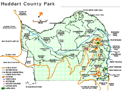
Huddart County Park Map
Trail map of Huddart County Park near Woodside, California.
13 miles away
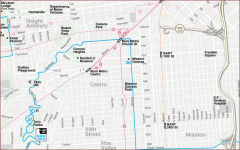
Castro, Mission, Haight-Ashbury, Noe Valley map
Tourist map of Castro, Mission, Haight-Ashbury, Noe Valley, and Twin Peaks in San Francisco
13 miles away
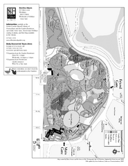
San Francisco Botanical Garden Map
Overview map of the San Francisco Botanical Garden in Golden Gate Park, San Francisco
14 miles away
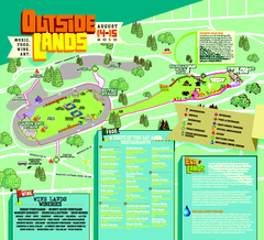
Outside Lands Festival Map 2010
Official Outside Lands Festival map 2010. Held Aug 14-15, 2010 in Golden Gate Park, San Francisco
14 miles away
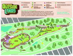
San Francisco Outside Lands Music Festival Map
Official 2008 map of the Outside Lands Music & Arts Festival in Golden Gate Park, San Francisco...
14 miles away
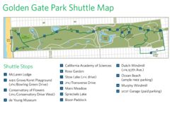
Golden Gate Park Shuttle Map
Shows shuttle stops in Golden Gate Park, SF.
14 miles away
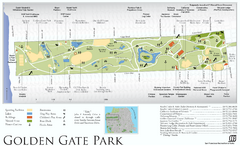
Golden Gate Park Map
Overview map of Golden Gate Park in San Francisco, CA
14 miles away
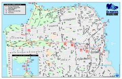
San Francisco 2009 Marathon Map
Guide to the 2009 San Francisco Marathon and Half Marathon
14 miles away

Bay to Breakers race course Map
Bay to Breakers course. Held annually on the third Sunday in May. "ING Bay to Breakers...
14 miles away
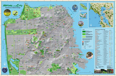
San Francisco Natural Heritage Map
Shows San Francisco's natural habitats and biodiversity is filled with fun facts, restoration...
14 miles away
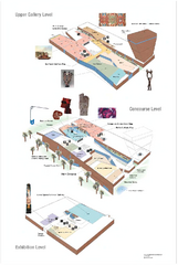
de Young Museum Map
Floorplan of the de Young Museum of Art in Golden Gate Park, San Francisco, California
14 miles away

