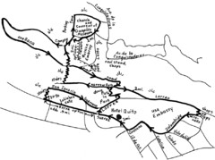
La Colina to Guapulo Map
Lovely walk from the hill top with wonderful views into the old neighborhood of Guapulo. 2.7 miles...
464 miles away
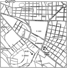
Quito, Ecuador Tourist Map
464 miles away
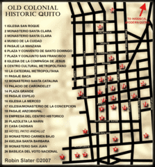
Old Colonial Historic Quito Map
Street map of Old Colonial area of Quito
464 miles away
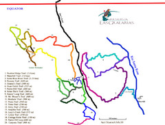
Reserva Las Gralarias Trail Map
467 miles away
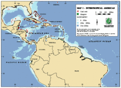
Intertropical Americas Map
Map of the tropical Americas from the top of South America to the Southern United States. Includes...
480 miles away
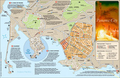
Panama City Map
Panama City map with a lot of tourist information
481 miles away
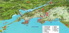
Panama City Map
Pictorial map of Panama city with prime real estate investment areas highlighted
481 miles away
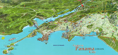
Panama City Map
Pictorial map of Panama City
482 miles away
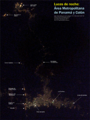
Panama at nite Map
484 miles away
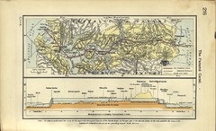
Panama Canal Historical Atlas, 1911 Map
489 miles away
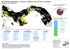
Electricidad: generación y consumo Map
498 miles away

Ecuador National Parks Map
501 miles away
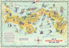
Panama Tourist Map
Tourist map of the Republic of Panama and the isthmus Canal Zone
507 miles away
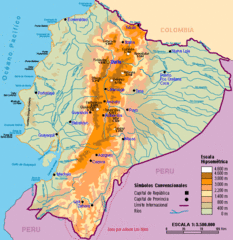
Ecuador Elevations Map
517 miles away
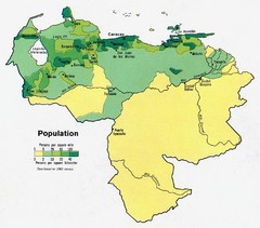
Venezuela Population Map
Map marking population per square mile.
521 miles away
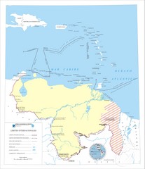
Official boundaries of Venezuela Map
All the official boundaries of Venezuela including the maritime ones.
521 miles away
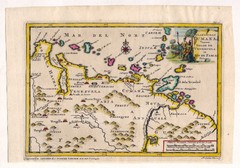
Antique Venezuela map
Very rare medium size map by Pieter van der Aa, published in his description of the Spanish...
536 miles away
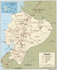
Ecuador Tourist Map
538 miles away
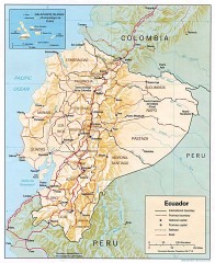
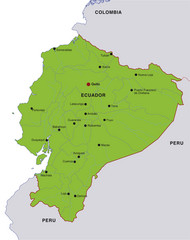
Ecuador map
Map of Ecuador showing provinces and capitols, major roads and rails
538 miles away

Panama Vegetation Map
539 miles away
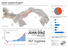
Población de Panamá 2000 Map
539 miles away

Panama Vegetation Map
539 miles away

Panama Population Map
539 miles away
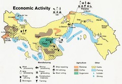
Panama Economic Activity, 1981 Map
539 miles away
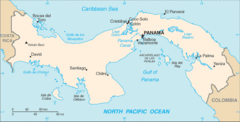
Panama Map
539 miles away
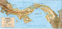
Panama (Shaded Relief) 1995 Map
539 miles away
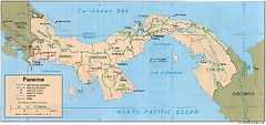
Panama (Political) 1995 Map
539 miles away
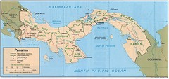
Panama Country Map
539 miles away
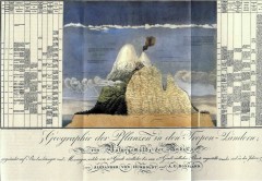
Humboldt's Scientific Representation of...
Alexander von Humboldt's scientific representation of the Chimborazo volcano in Ecuador...
543 miles away
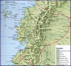
Ecuador Relief Map
548 miles away
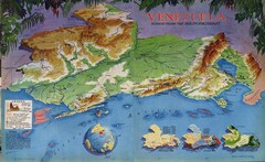
Venezuela from the North Map
Shows shaded relief of Venezuela with three thematic maps: population, states and physiograpy
562 miles away

Venezuela Indigenes populations Map
568 miles away
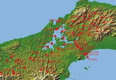
Panama Canal Authority (ACP) Meterological...
Panama Canal Authority (ACP) Meterological Monitoring stations are identified on map of Panama
574 miles away
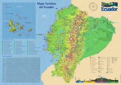
Ecuador Tourist Map
Detailed tourist map of Ecuador with inset of the Galapagos Islands. Shows National Parks and...
584 miles away
Aruba Tourist Map
593 miles away

Venezuela relief Map
596 miles away
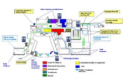
Riena Beatrix International Airport Map
603 miles away

