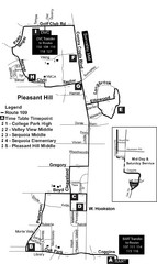
Pleasant Hill, CA Map
29 miles away
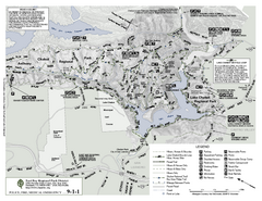
Anthony Chabot Regional Park Map - South
30 miles away

San Mateo County Mid-County Trail Map
Trail map of mid-county trails in San Mateo County, California.
30 miles away
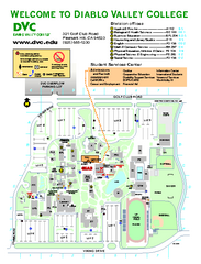
Diablo Valley College Map
30 miles away
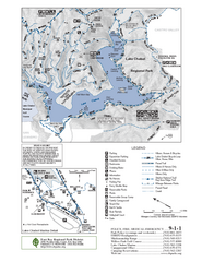
Lake Chabot Trail Map
30 miles away

1895 San Francisco Bay Area Map
Guide to the San Francisco Bay Area in 1895
30 miles away
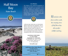
Half Moon Bay State Beach Map
Map of beach with detail of trails and recreation zones
30 miles away
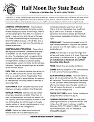
Half Moon Bay State Beach Campground Map
Map of beach with detail of trails and recreation zones
30 miles away
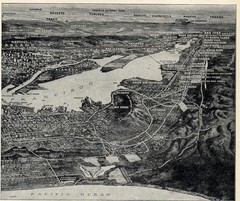
1936 San Francisco Bay Area Map Part 2
Guide to the San Francisco Bay Area, hand drawn over photograph
31 miles away
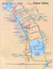
Napa Valley Tourist map
Tourist map of Napa Valley in California, showing wineries and museums in the area.
31 miles away
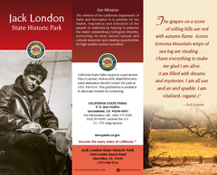
Jack London State Historic Park Map
Map of park with detail of trails and recreation zones
32 miles away
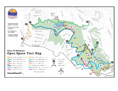
Water Dog Lake Park Trail Map
Trail map of Water Dog Lake Park. Open to mountain biking.
32 miles away
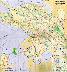
Shell Ridge Open Space Trail Map
Trail map of Shell Ridge Open Space, Walnut Creek's largest open space unit, with trails for...
32 miles away
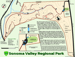
Sonoma Valley Regional Park Map
Trail map of 202 acre Sonoma Valley Regional Park.
32 miles away
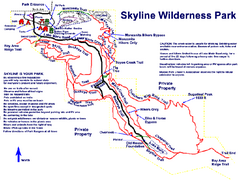
Skyline Wilderness Park Map
Trail map of Skyline Wilderness Park in Napa, California
33 miles away
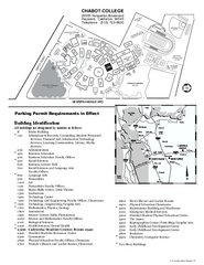
Chabot College Campus Map
Chabot College Campus Map. All buildings shown.
33 miles away

Glen Ellen Wine Tasting Map
33 miles away
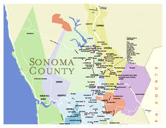
Wineries in Sonoma County, California Map
Map of winery locations in Sonoma County, California. Shows wineries, tasting rooms, and valleys of...
33 miles away
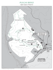
Pulgas Ridge Open Space Preserve Map
Trail map of Pulgas Ridge Open Space Preserve. 366 acres and 6 miles of trails
34 miles away
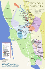
Sonoma Country Wine Map
Wine map of Sonoma, California area. Shows all vineyards.
34 miles away
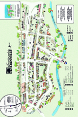
Walking Map of Downtown Danville, California
Tourist walking map of downtown Danville, California. Shows restaurants, shops, visitor's...
34 miles away
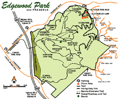
Edgewood County Park Trail Map
Trail map of Edgewood Park and Preserve in Redwood City, California.
35 miles away
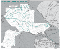
Purisima Open Space Preserve Map
Trail map of Purisima Open Space Preserve. Shows all mountain biking, hiking, and horseback riding...
35 miles away
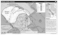
Phleger Estate Trail Map
Trail map of Phleger Estate, part of the Golden Gate National Recreation Area, in Woodside...
35 miles away
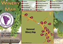
Kenwood Wine Tasting Map
36 miles away
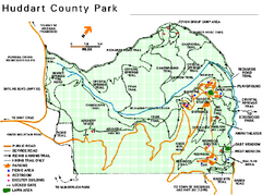
Huddart County Park Map
Trail map of Huddart County Park near Woodside, California.
36 miles away
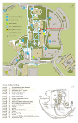
Cañada College Campus Map
Campus map of Cañada College, Redwood City, CA. Shows buildings.
36 miles away
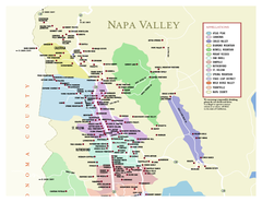
Napa County Wineries, California Map
Map of wineries in Napa County, California. Shows wineries and appellations.
37 miles away
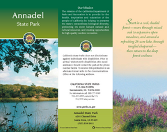
Annadel State Park Map
Map of park with detail of trails and recreation zones
37 miles away

Sebastopol Map
Map of Sebastopol and surrounding towns.
37 miles away
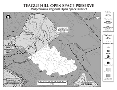
Teague Hill Open Space Preserve Map
Trail map of Teague Hill Open Space Preserve near Woodside, California. Only one trail enters a...
37 miles away
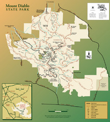
Mt. Diablo State Park Map
Trail map of Mt. Diablo State Park near Walnut Creek, CA
38 miles away
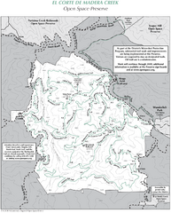
El Corte de Madera Open Space Preserve Map
Trail map of El Corte de Madera Open Space Preserve. Shows all mountain biking, hiking, and...
38 miles away
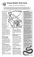
Mount Diablo State Park Campground Map
Map of park with detail of trails and recreation zones
38 miles away
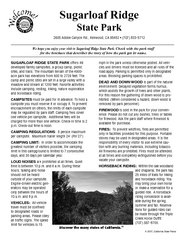
Sugarloaf Ridge State Park Campground Map
Map of park with detail of trails and recreation zones
38 miles away
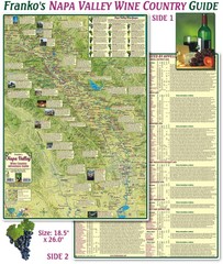
Napa Valley Wine Country Guide Map
Map of the Napa Valley Wine Country. With over 250 local Wineries listed. Printed on waterproof...
39 miles away
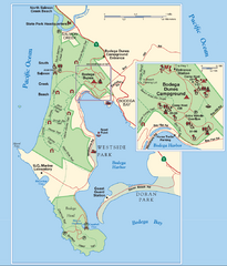
Bodega Bay Park Map
Park map of the Sonoma Coast State Beach park lands in Bodega Bay, California. Shows roads, trails...
39 miles away
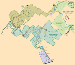
Hood Mountain Regional Park Map and Sugarloaf...
Park map of Hood Mountain Regional Park and Open Space Preserve and Sugarloaf Ridge State Park in...
39 miles away
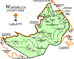
Wunderlich County Park Map
Trail map of Wunderlich County Park near Woodside, California. "The Alambique Trail offers a...
39 miles away
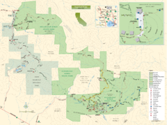
Sugarloaf Ridge State Park Map
Trail map of Sugarloaf Ridge State Park
39 miles away

