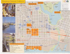
Oakland Tourist Map
Tourist map of downtown Oakland, California. Shows shopping districts.
19 miles away
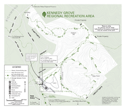
Kennedy Grove Recreation Area Trail Map
222-acre park
19 miles away
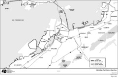
Bay Area, CA Bike Map
20 miles away
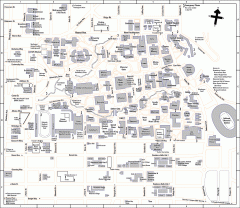
UC Berkeley Map
UC Berkeley campus map
20 miles away

Downtown Oakland, California Map
Tourist map of downtown Oakland, California. Shows museums, parks, neighborhoods of interest and...
20 miles away
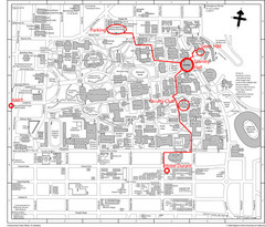
UC Berkely Campus Map
20 miles away
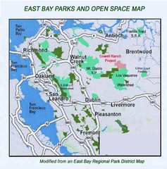
Eastbay Parks and Open Spaces Map
20 miles away
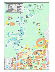
University of California, Berkeley Visitor Map
Colorful Map that illustrates the location of all buildings, parking areas, and streets in and...
20 miles away
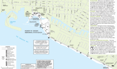
Crown Memorial State Beach Map
20 miles away
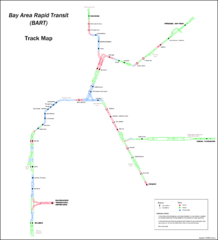
Bay Area Rapid Transit (BART) Track Map
Map of Bay Area Rapid Transit (BART) tracks. Includes all train stops and details about the tracks.
20 miles away
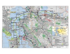
San Francisco Trans Bay Cable Project EIR Map
Map A.2-1 Detailed Project Location
20 miles away
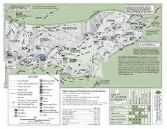
Tilden Regional Park Map - South
21 miles away
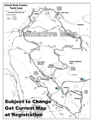
Grizzly Peak Century North Loop Route Map
Road bike route map of the north loop in the Grizzly Peak Century Ride. From site: "The...
22 miles away
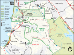
Sweeney Ridge Map
Trail map of Sweeney Ridge, part of the Golden Gate National Recreational Area.
22 miles away
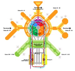
San Francisco Initernational Airport SFO Terminal...
AirTrain, airline, and gate locations map of SFO.
23 miles away
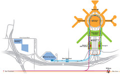
San Francisco International Airport Map
23 miles away
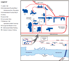
Touro University Map
Campus map of Touro University's Mare Island Campus.
23 miles away
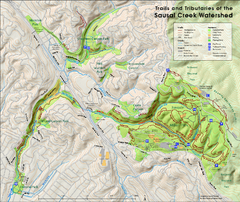
Sausal Creek Watershed Trail Map
Trail map of the Sausal Creek Watershed in Oakland, California. Show trails in Joaquin Miller Park...
23 miles away
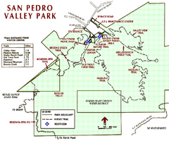
San Pedro Valley Park Map
Park map of San Pedro Valley County Park in San Mateo County, California.
24 miles away
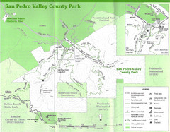
San Pedro Valley County Park Map
Trail map of San Pedro Valley County Park. 1,100 acre park with miles of trails and waterfall...
24 miles away
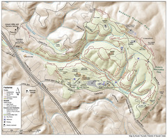
Joaquin Miller Park Map
Trail map of Joaquin Miller Park in Oakland, California. 500 acre park 9 miles from downtown...
24 miles away
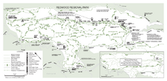
Redwood Regional Park Map
Trail map of Redwood Regional Park in Oakland, California. Shows hiking, horse, and bike trails.
25 miles away
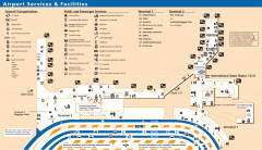
Oakland International Airport (OAK) Map
Terminal map. Shows all airport services and facilities
25 miles away
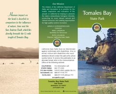
Tomales Bay State Park Map
Map of park with detail of trails and recreation zones
25 miles away
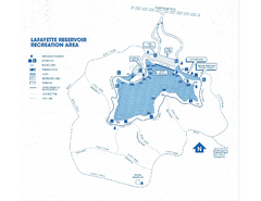
Lafayette Reservoir Recreation Area Map
25 miles away
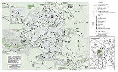
Briones Regional Park Trail Map
Trail map of Briones Regional Park in East Bay.
26 miles away
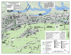
Leona Canyon Regional Open Space Preserve Map
26 miles away
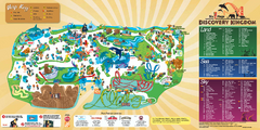
Six Flags Discovery Kingdom Park Map
Six Flags Discovery Kingdom theme park (formerly Marine World) in Vallejo, California. Experience...
26 miles away
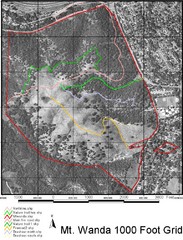
Mt. Wanda Aerial Trail Map
Trail map of Mt. Wanda area in the John Muir National Historic Site.
27 miles away
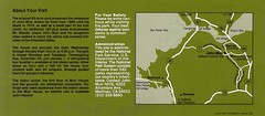
John Muir National Histroric Site Map
27 miles away
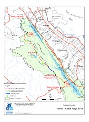
Fifield-Cahill Ridge Trail Map
Trail map of the Fifield-Cahill Ridge Trail in the San Francisco Peninsula Watershed.
27 miles away
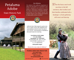
Petaluma Adobe State Historic Park Map
Map of park with detail of trails and recreation zones
27 miles away
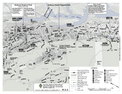
Anthony Chabot Regional Park Map - North
Trail map of the north section of Anthony Chabot Regional Park in the East Bay Hills.
27 miles away
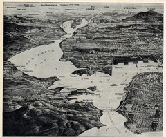
1936 San Francisco Bay Area Map Part 1
Guide to the San Francisco Bay Area in 1936, hand drawing over photograph
27 miles away
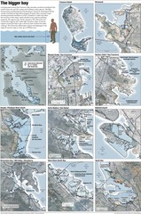
San Francisco Sea Level Rise Map
Guide to the San Francisco Bay Area, and the areas that will be underwater if there is a 1 meter...
27 miles away
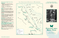
Fifield-Cahill Ridge Trail Map
Trail map and brochure of the Fifield-Cahill Ridge Trail in the San Francisco Peninsula Watershed.
28 miles away
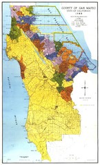
San Mateo County Map
Official county map of San Mateo, California. Scale 1"=5000'
28 miles away
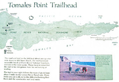
Tomales Point Trail Map
Map of the trail to Tomales Point in Point Reyes National Seashore, California. Also shows trail...
28 miles away
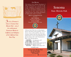
Sonoma State Historic Park Map
Map of park with detail of trails and recreation zones
29 miles away
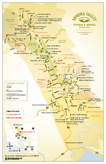
Sonoma Valley Winery Map
High quality map of Sonoma Valley wineries from the vinters and growers. Shows all key roads and...
29 miles away

