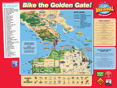
San Francisco Bike Map
13 miles away
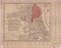
1907 San Francisco Earthquake Map
Map of areas destroyed by fire after 1906 earthquake
13 miles away
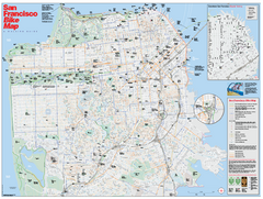
San Francisco Bike Map
Map showing bike paths, bike lanes, bike shops, public transportation, and grades of hills in San...
13 miles away
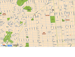
Downtown San Francisco: Castro and Noe Valley Map
Tourist map of the Castro and Noe Valley area in downtown San Francisco, California. Shows Twin...
13 miles away
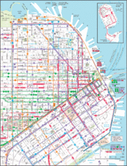
Downtown San Francisco Transit Map
Guide to area and transit in downtown San Francisco
13 miles away
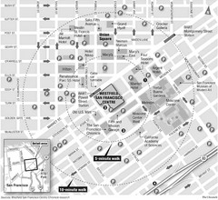
San Francisco City Center Map
13 miles away
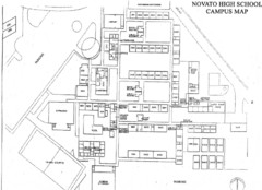
Novato High School Campus Map
14 miles away
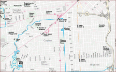
Castro, Mission, Haight-Ashbury, Noe Valley map
Tourist map of Castro, Mission, Haight-Ashbury, Noe Valley, and Twin Peaks in San Francisco
14 miles away
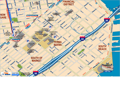
Downtown San Francisco: South of Market, Yerba...
Tourist map of South of Market (SOMA), Yerba Buena Center, and South Beach areas in downtown San...
14 miles away

San Francisco Historic Rail Map
Map of San Francisco historic rail lines
14 miles away
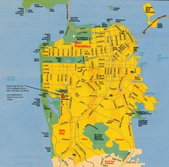
San Francisco City Map
City map of San Francisco with Lowell High School highlighted
14 miles away
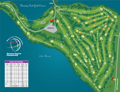
Harding Park Golf Course Map
Course map of Harding Park Golf Course in San Francisco, CA. 18 hole, par 70 course
14 miles away
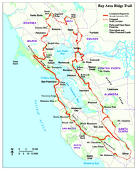
Bay Area Ridge Trail Map
Map of the Bay Area Ridge Trail. Shows completed segments through Sep 2009. "a 550+ mile...
14 miles away
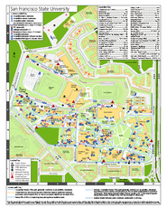
San Francisco State University Map
Campus map of San Francisco State University. All areas shown.
14 miles away
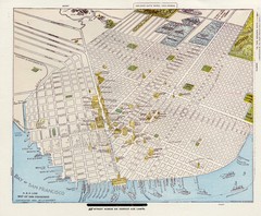
1896 San Francisco Perspective Map
Guide to historic San Francisco, in hand drawn perspective
14 miles away
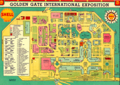
Golden Gate International Expo 1939 Map
Map of the 1939 Golden Gate International Expo.
14 miles away

1852 San Francisco Map
Guide to San Francisco, prior to 1852
14 miles away
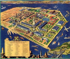
Golden Gate International Expo Cartograph 1939 Map
Bird's eye view of the Golden Gate International Expo in 1939 at Treasure Island in the San...
14 miles away
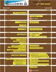
San Francisco Mission Restaurant Map
14 miles away
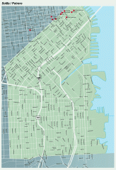
SoMa, Potrero Hill tourist map
Tourist map of SoMa and Potrero Hill in San Francisco
14 miles away
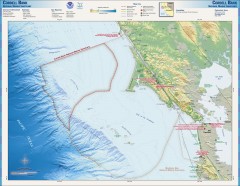
Cordell Bank National Marine Sanctuary Map
Topo and bathymetric map of the Cordell Bank National Marine Sanctuary, located 60 miles northwest...
14 miles away
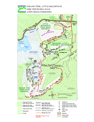
Indian Tree, Little Mountain, and Verissimo Hills...
14 miles away
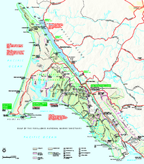
Point Reyes National Seashore Map
Official NPS map of Point Reyes National Seashore in Marin County, California. Shows trails, roads...
14 miles away
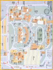
City College of San Francisco - Ocean Campus Map
City College of San Francisco - Ocean Campus Map. All buildings shown.
15 miles away
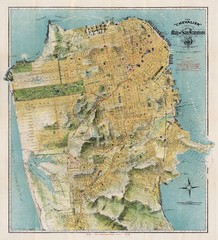
Chevalier map of San Francisco (1912)
Breathtaking map of San Francisco in 1912 by August Chevalier from the BIG Map Blog by way of DRMC.
15 miles away
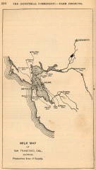
Antique map of San Francisco from 1901
"Milk Map of San Franciso, Cal., Showing Productive Area of Supply." From Report of the...
15 miles away
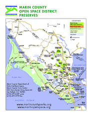
Marin Open Space Preserves Map
Shows all Open Space Preserves in Marin County, CA.
15 miles away
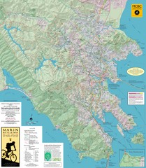
Marin, California Bike Map
15 miles away
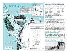
Point Pinole Regional Shoreline Map
16 miles away
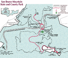
San Bruno Mountain Park Map
Park map of San Bruno Mountain State and County Park. Shows trails in northwest part of park.
17 miles away

Mt. Burdell Open Space Preserve Map
Trail map of Mt. Burdell Open Space Preserve and Olompali State Historic Park in Novato, Marin...
17 miles away
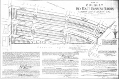
1914 Bouquet Key Route Business Block Map
This map shows the borders of the Bouquet Business District in Contra Costa County, CA
17 miles away
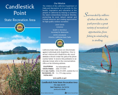
Candlestick Point Recreation Area Map
Map of park with detail of trails and recreation zones
18 miles away
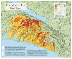
Point Reyes Vision Fire Map
Map of the burn intensity of the 1995 Vision Fire in Point Reyes National Seashore.
18 miles away
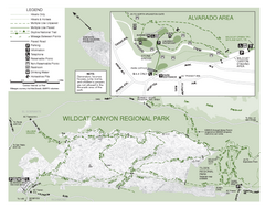
Wildcat Canyon Regional Park Map
18 miles away
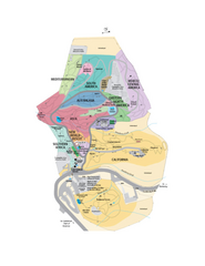
UC Botanical Gardens Map
Unfortunately this is a copy of an interactive map, so is slightly blurred at full size
18 miles away
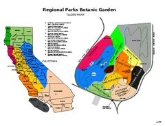
Tilden Regional Park and Native Plant Garden Map
18 miles away
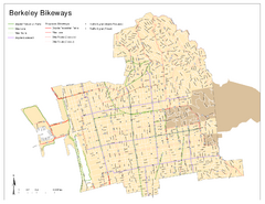
Bikeway Network of Berkeley, California Map
Map of current and proposed bike paths, lanes, and boulevards in Berkeley, California.
19 miles away
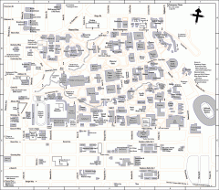
University of California at Berkeley Map
Campus map of the University of California at Berkeley. All buildings shown.
19 miles away
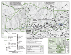
Tilden Regional Park Map - North
19 miles away

