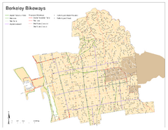
Bikeway Network of Berkeley, California Map
Map of current and proposed bike paths, lanes, and boulevards in Berkeley, California.
0 miles away
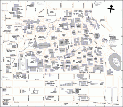
University of California at Berkeley Map
Campus map of the University of California at Berkeley. All buildings shown.
0 miles away
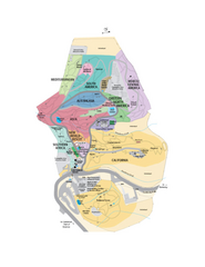
UC Botanical Gardens Map
Unfortunately this is a copy of an interactive map, so is slightly blurred at full size
less than 1 mile away
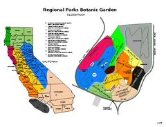
Tilden Regional Park and Native Plant Garden Map
less than 1 mile away
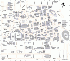
UC Berkeley Map
UC Berkeley campus map
less than 1 mile away
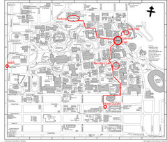
UC Berkely Campus Map
1 mile away
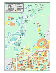
University of California, Berkeley Visitor Map
Colorful Map that illustrates the location of all buildings, parking areas, and streets in and...
1 mile away
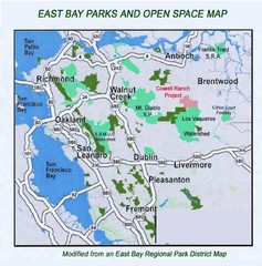
Eastbay Parks and Open Spaces Map
2 miles away
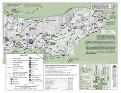
Tilden Regional Park Map - South
3 miles away
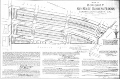
1914 Bouquet Key Route Business Block Map
This map shows the borders of the Bouquet Business District in Contra Costa County, CA
3 miles away
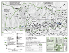
Tilden Regional Park Map - North
3 miles away
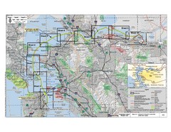
San Francisco Trans Bay Cable Project EIR Map
Map A.2-1 Detailed Project Location
4 miles away
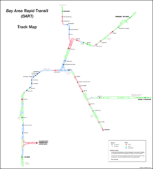
Bay Area Rapid Transit (BART) Track Map
Map of Bay Area Rapid Transit (BART) tracks. Includes all train stops and details about the tracks.
4 miles away
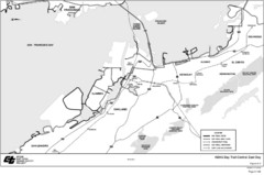
Bay Area, CA Bike Map
5 miles away

Downtown Oakland, California Map
Tourist map of downtown Oakland, California. Shows museums, parks, neighborhoods of interest and...
5 miles away
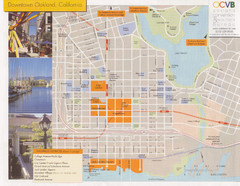
Oakland Tourist Map
Tourist map of downtown Oakland, California. Shows shopping districts.
5 miles away
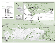
Wildcat Canyon Regional Park Map
5 miles away
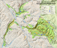
Sausal Creek Watershed Trail Map
Trail map of the Sausal Creek Watershed in Oakland, California. Show trails in Joaquin Miller Park...
5 miles away
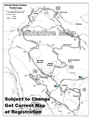
Grizzly Peak Century North Loop Route Map
Road bike route map of the north loop in the Grizzly Peak Century Ride. From site: "The...
5 miles away
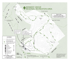
Kennedy Grove Recreation Area Trail Map
222-acre park
5 miles away
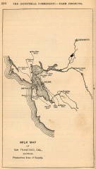
Antique map of San Francisco from 1901
"Milk Map of San Franciso, Cal., Showing Productive Area of Supply." From Report of the...
5 miles away
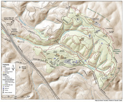
Joaquin Miller Park Map
Trail map of Joaquin Miller Park in Oakland, California. 500 acre park 9 miles from downtown...
6 miles away
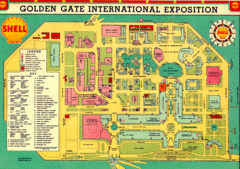
Golden Gate International Expo 1939 Map
Map of the 1939 Golden Gate International Expo.
6 miles away
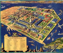
Golden Gate International Expo Cartograph 1939 Map
Bird's eye view of the Golden Gate International Expo in 1939 at Treasure Island in the San...
6 miles away
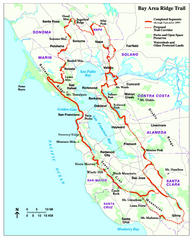
Bay Area Ridge Trail Map
Map of the Bay Area Ridge Trail. Shows completed segments through Sep 2009. "a 550+ mile...
7 miles away
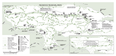
Redwood Regional Park Map
Trail map of Redwood Regional Park in Oakland, California. Shows hiking, horse, and bike trails.
7 miles away
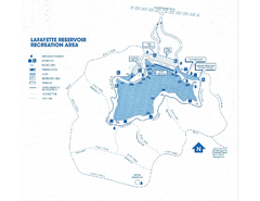
Lafayette Reservoir Recreation Area Map
7 miles away
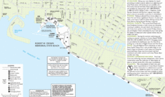
Crown Memorial State Beach Map
7 miles away
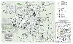
Briones Regional Park Trail Map
Trail map of Briones Regional Park in East Bay.
9 miles away
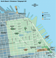
North Beach, Chinatown, Telegraph Hill map
Tourist map of North Beach, Chinatown, and Telegraph Hill in San Francisco
9 miles away
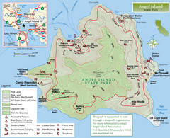
Angel Island State Park Map
Official map of Angel Island State Park in the San Francisco Bay. Shows paved and unpaved roads...
9 miles away
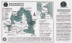
Angel Island State Park Map
Map of park with detail of trails and recreation zones
9 miles away
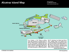
Alcatraz Island Map
Official NPS map of Alcatraz Island National Park in the San Francisco Bay, California
9 miles away
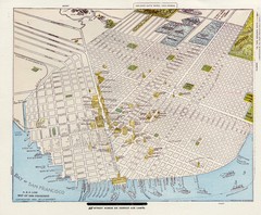
1896 San Francisco Perspective Map
Guide to historic San Francisco, in hand drawn perspective
9 miles away

1852 San Francisco Map
Guide to San Francisco, prior to 1852
9 miles away
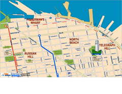
Downtown San Francisco: Fisherman's Wharf...
Tourist map of Fisherman's Wharf, North Beach, and Telegraph Hill area in downtown San...
9 miles away
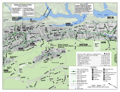
Leona Canyon Regional Open Space Preserve Map
9 miles away

Farwell’s Map of Chinatown in San Francisco...
This map of vice in San Francisco's Chinatown in 1885. A fascinating historical document, as...
9 miles away
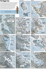
San Francisco Sea Level Rise Map
Guide to the San Francisco Bay Area, and the areas that will be underwater if there is a 1 meter...
9 miles away
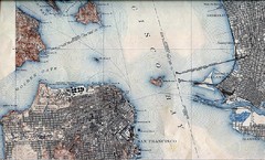
San Francisco Map 1915
9 miles away

