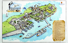
Royal Naval Dockyard Tourist Map
Tourist map of the Royal Naval Dockyard in Bermuda. Shows points of interest
0 miles away
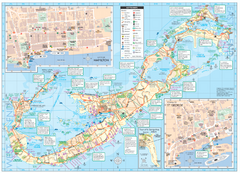
Tourist map of Bermuda
Great tourist map of Bermuda from the Bermuda Department of Tourism. Historic, transport...
4 miles away
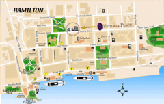
Hamilton City Map
Tourist map of central Hamilton, Bermuda. Shows major streets and parks.
4 miles away
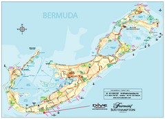
Bermuda Overview Map
Overview map of Bermuda. Shows sunken ship diving spots.
4 miles away
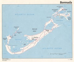
Bermuda Tourist Map
5 miles away
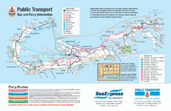
Bermuda Public Transport Map
Bus and ferry map of Bermuda. Shows ferry stops and bus routes.
5 miles away
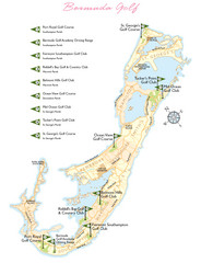
Bermuda Golf Map
Golf map of Bermuda. Shows 9 golf courses.
5 miles away
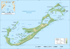
Bermuda topographic Map
5 miles away

Crystal Cave Map
Tourist map of the grounds of Crystal Caves, Bermuda. Shows entrances to Crystal Cave and Fantasy...
7 miles away

St. George Tourist Map
Tourist map of historic city of St. George, Bermuda. Recognized by UNESCO as a World Heritage Site.
10 miles away
Hurricane Tracking Chart, Atlantic Map
This is a fun and potentially (if you live in the right place) useful map.
587 miles away
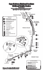
Cape Hatteras Off Road Map
648 miles away
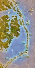
Outer Banks activities map
Tourist map of the Outer Banks region of North Carolina. Spans from Ocracoke, NC to Carrituck, NC...
657 miles away

Outer Banks Tourist Map
The Outer Banks in North Carolina
668 miles away
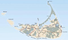
Tourist Map of Nantucket Island
Tourist map of Nantucket Island. Shows all towns and information.
683 miles away
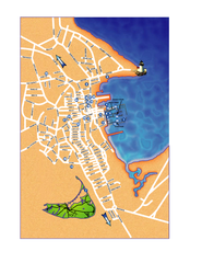
Nantucket Town Street Map
Tourist map of town of Nantucket on Nantucket Island. Shows major streets and points of interest...
684 miles away
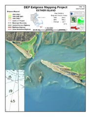
Esther Island Map
DEP Eelgrass map of Esther Island, Nantucket
687 miles away
False Cape State Park Map
Clear state park map
696 miles away
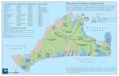
Martha's Vineyard Watershed Map
704 miles away
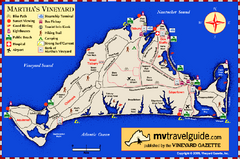
Martha's Vineyard Island Map
Tourist map of island of Martha's Vineyard, Massachusetts.
706 miles away
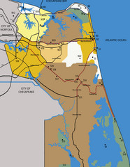
Virginia Beach Tourist Map
707 miles away
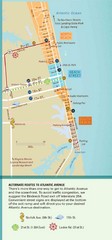
Virginia Beach Tourist Map
707 miles away
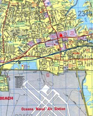
Virginia Beach, Virginia City Map
707 miles away
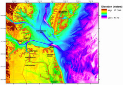
Digital Elevation Relief of Virginia Beach Map
The digital elevation model represents the bare-earth relief of the coastal zone around Virginia...
707 miles away
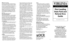
First Landing State Park Map
Clearly marked state park map with facilities and trails easily found.
711 miles away

Cape Cod Hospital Map
Map of external vicinity of Cape Cod Hospital
711 miles away

Cape Cod Hospital Map
Campus map of Cape Cod Hospital
711 miles away
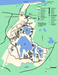
Nickerson State Park trail map
Trail map of Nickerson State Park in Massachusetts.
712 miles away
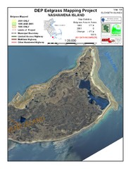
Nashawena Island Eelgrass Map
712 miles away
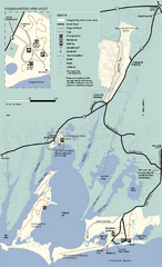
Waquoit Bay National Estuarine Research Preserve...
Trail map of Waquoit Bay National Estuarine Research Preserve in Massachusetts.
713 miles away
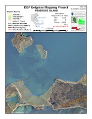
Penekese Island Eelgrass Map
714 miles away
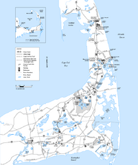
Cape Cod Rail Trail, Cape Cod, Massachusetts Map
Map of the Cape Cod Rail Trail bike path. Shows trails, restrooms, other roads and parking.
716 miles away
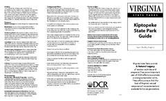
Kiptopek State Park Map
Informative map and legend of this amazing state park.
716 miles away
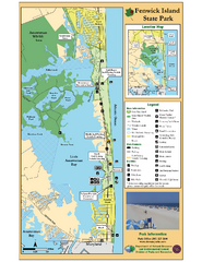
Fenwick Island State Park Map
Great state park map with clear key.
716 miles away

Cherry Point Conservation Initiative Map
Map showing conservation lands at two US military facilities in coastal North Carolina.
717 miles away
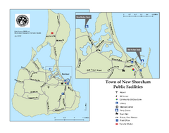
Block Island Road Map
Shows roads and major facilities on Block Island, RI (New Shoreham)
717 miles away
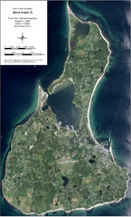
Block Island Aerial Map
Aerial map of Block Island, RI (New Shoreham, RI). True color orthophotography from August 2006.
717 miles away
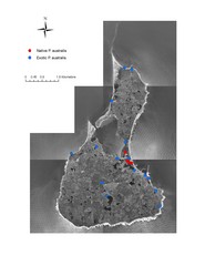
Native and Exotic Phragmites on Block Island Map
717 miles away
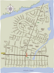
Bethany Beach Tourist Map
718 miles away

Norfolk International Airport Terminal Map
Terminal Map of Norfolk International Airport in Virginia. Shows all areas.
719 miles away


 Explore Maps
 Map Directory
