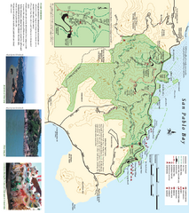
China Camp State Park Map
Trail map of China Camp State Park. Shows trails by use type and all park facilities.
15 miles away

China Camp State Park Map
Map of park with detail of trails and recreation zones
16 miles away
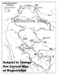
Grizzly Peak Century North Loop Route Map
Road bike route map of the north loop in the Grizzly Peak Century Ride. From site: "The...
16 miles away
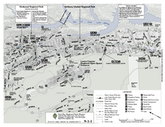
Anthony Chabot Regional Park Map - North
Trail map of the north section of Anthony Chabot Regional Park in the East Bay Hills.
16 miles away
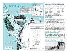
Point Pinole Regional Shoreline Map
16 miles away
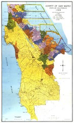
San Mateo County Map
Official county map of San Mateo, California. Scale 1"=5000'
16 miles away
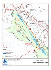
Fifield-Cahill Ridge Trail Map
Trail map of the Fifield-Cahill Ridge Trail in the San Francisco Peninsula Watershed.
16 miles away

Southern Golden Gate National Recreation Map
16 miles away
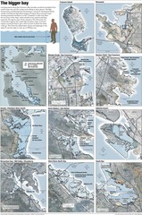
San Francisco Sea Level Rise Map
Guide to the San Francisco Bay Area, and the areas that will be underwater if there is a 1 meter...
17 miles away
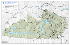
Mt. Tamalpais Watershed Trail Map
Shows roads and trails in the 18,500 Mt. Tamalpais Watershed near Fairfax, California.
17 miles away

Santa Margarita Island, Santa Venetia Marsh, and...
Park map of Santa Margarita Island Open Space Preserve, Santa Venetia Marsh Open Space Preserve...
17 miles away
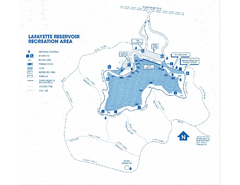
Lafayette Reservoir Recreation Area Map
17 miles away
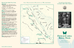
Fifield-Cahill Ridge Trail Map
Trail map and brochure of the Fifield-Cahill Ridge Trail in the San Francisco Peninsula Watershed.
17 miles away
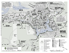
Anthony Chabot Regional Park Map - South
18 miles away
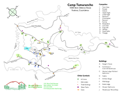
Tamarancho Map
18 miles away
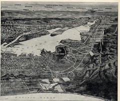
1936 San Francisco Bay Area Map Part 2
Guide to the San Francisco Bay Area, hand drawn over photograph
18 miles away
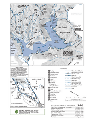
Lake Chabot Trail Map
18 miles away

San Mateo County Mid-County Trail Map
Trail map of mid-county trails in San Mateo County, California.
19 miles away

1895 San Francisco Bay Area Map
Guide to the San Francisco Bay Area in 1895
19 miles away
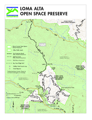
Loma Alta Preserve Map
Topographical trail map of Loma Alta Preserve in Marin County, California
19 miles away
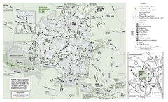
Briones Regional Park Trail Map
Trail map of Briones Regional Park in East Bay.
19 miles away
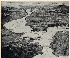
1936 San Francisco Bay Area Map Part 1
Guide to the San Francisco Bay Area in 1936, hand drawing over photograph
20 miles away
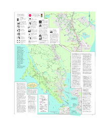
Marin Bicycle Map - Side B
Bike route map of Marin County, California. Shows primary and secondary road routes, paved and...
20 miles away
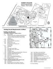
Chabot College Campus Map
Chabot College Campus Map. All buildings shown.
20 miles away
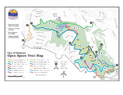
Water Dog Lake Park Trail Map
Trail map of Water Dog Lake Park. Open to mountain biking.
20 miles away
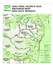
Loma Verde, Pacheco Valley, Lucas Valley and...
20 miles away
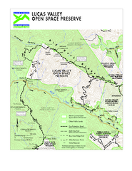
Lucas Valley Open Space Preserve Map
21 miles away
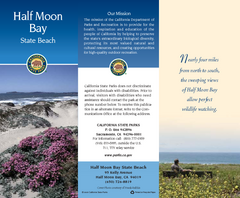
Half Moon Bay State Beach Map
Map of beach with detail of trails and recreation zones
21 miles away
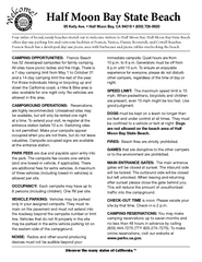
Half Moon Bay State Beach Campground Map
Map of beach with detail of trails and recreation zones
21 miles away
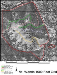
Mt. Wanda Aerial Trail Map
Trail map of Mt. Wanda area in the John Muir National Historic Site.
21 miles away
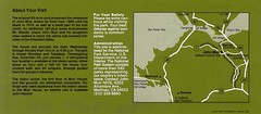
John Muir National Histroric Site Map
22 miles away
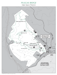
Pulgas Ridge Open Space Preserve Map
Trail map of Pulgas Ridge Open Space Preserve. 366 acres and 6 miles of trails
22 miles away
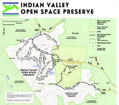
Indian Valley Open Space Preserve Map
22 miles away
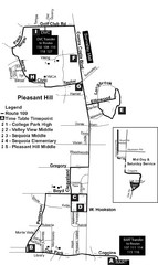
Pleasant Hill, CA Map
22 miles away
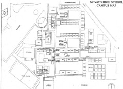
Novato High School Campus Map
23 miles away
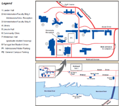
Touro University Map
Campus map of Touro University's Mare Island Campus.
23 miles away
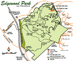
Edgewood County Park Trail Map
Trail map of Edgewood Park and Preserve in Redwood City, California.
23 miles away
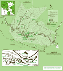
Samuel Taylor State Park Trail Map
Trail map of Samuel Taylor State Park near Lagunitas, CA.
23 miles away
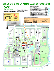
Diablo Valley College Map
23 miles away
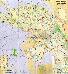
Shell Ridge Open Space Trail Map
Trail map of Shell Ridge Open Space, Walnut Creek's largest open space unit, with trails for...
24 miles away

