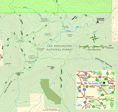
Mount San Jacinto State Park SE Map
Map of SE region of park with detail of trails and recreation zones
424 miles away
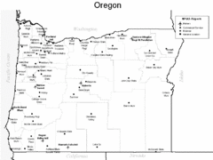
Oregon Airport Map
428 miles away
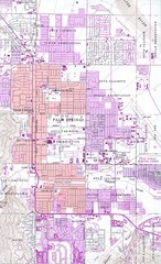
Palm Springs California City Map
428 miles away
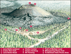
Newberry National Volcanic Monument - Lava Lands...
Map of Lava Butte which rises 500 feet above the visitor center. This cinder cone erupted 7,000...
428 miles away
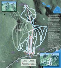
Willamette Pass Ski Trail Map
Trail map from Willamette Pass.
431 miles away
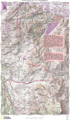
Palm Canyon Epic Trail Map
Upper Trailhead Map. Topo map marked with detail route and notes for ride.
431 miles away
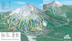
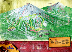
Mt. Bachelor Ski Trail map
Official ski trail map of Mount Bachelor ski area from the 2006-2007 season.
432 miles away
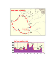
Wolf Creek Road Race Route and Route Elevation Map
Route map and elevation of Wolf Creek bike Race
432 miles away
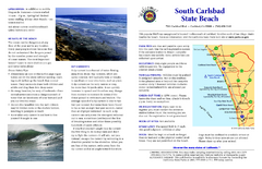
South Carlsbad State Beach Campground Map
Map of beach and park with detail of trails and recreation zones
432 miles away
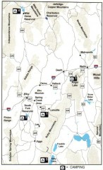
Camping in Elko County, Nevada Map
Map of camping opportunities in Elko County, Nevada, showing camp grounds, roads and towns.
434 miles away
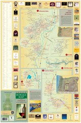
Oregon Winery Map / Local Side
435 miles away
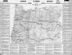
Oregon Military Map
Detailed guide to military forts, camps and roads on teh western Oregon coast
435 miles away
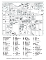
University of Oregon campus map
University of Oregon campus map with building abbreviations
435 miles away
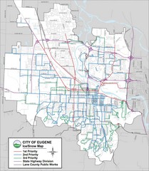
Eugene, Oregon City Map
435 miles away
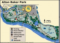
Alton Baker Park Map
Shows parking, picnic shelters, restrooms, talking stones, paved path, trail, and wetlands. Alton...
435 miles away

Eugene Parks map
City of Eugene Parks Map. Includes streets and trails.
435 miles away
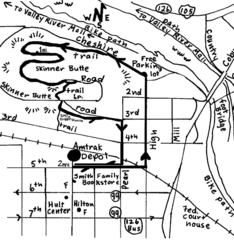
Eugene Oregon Walk, Skinner Butte and River Path...
Walk on the Willamette River Bike path, up Skinner Butte on a forest path and through a historic...
436 miles away
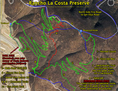
Rancho La Costa Preserve Trail Maps Map
Mountain Biking Trail Map for Rancho La Costa Preserve near San Diego.
437 miles away
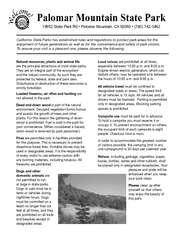
Palomar Mountain State Park Campground Map
Map of campground region of park with detail of trails and recreation zones
437 miles away
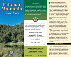
Palomar Mountain State Park Map
Map of park with detail of trails and recreation zones
437 miles away
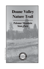
Palomar Mountain State Park Trail Map
Map of doane valley trail in park
437 miles away
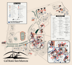
Cal State San Marcos Campus Map
Campus map of Cal State San Marcos in San Marcos, CA
437 miles away
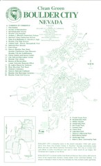
Boulder City Map
Map of Boulder City, Nevada. Shows points of interest and parks.
438 miles away
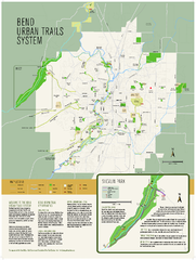
Bend urban trails system Map
The Bend Urban Trail System currently includes approximately 48 developed miles of trails which...
438 miles away
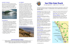
San Elijo State Beach Campground Map
Map of campground region of beach and park with detail of trails and recreation zones
438 miles away
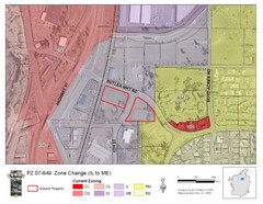
Bend, Oregon Zoning Map
Map of the zoning area changes in Bend, Oregon. Includes color-coded zoning areas.
438 miles away
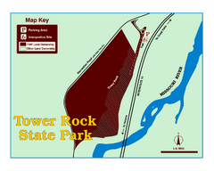
Tower Rock State Park Map
Tower Rock State Park is one of Montana's newest state parks. The 400-foot high igneous rock...
439 miles away
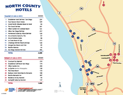
North County San Diego Tourist Map
Tourist map of North County area of San Diego, with hotel listings
439 miles away
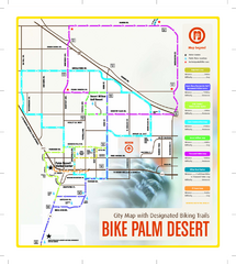
Palm Desert Biking Map
Biking route and trail map of Palm Desert, California
439 miles away
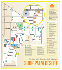
Palm Desert Shopping Map
Visitor map/shopping guide of Palm Desert
440 miles away
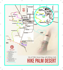
Palm Desert Hiking Trail Map
Trail map of Palm Desert, California. Shows hiking trails leaving right from town
440 miles away
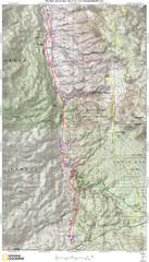
Palm Canyon Epic Map
Palm Canyon Trail - This point-to-point route takes you through a varied array of desert trails...
442 miles away
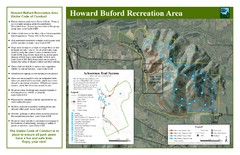
Howard Buford Recreational Area Trails Map
Map of the Howard Buford Recreational Area trails, roads, picnic areas, bathrooms, attractions.
444 miles away
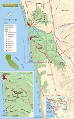
Torrey Pines State Beach and Reserve Map
Topo map of Torrey Pines State Beach and Reserve near San Diego, CA. Rated the #9 beach in America...
445 miles away
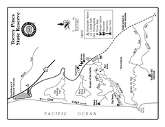
Torrey Pines State Reserve Trail Map
Map of park with detail of trails and recreation zones
445 miles away
Torrey Pines State Park Map
Map of park with detail of trails and recreation zones
445 miles away
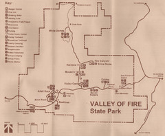
Valley of Fire State Park Map
Scanned from park brochure
446 miles away
Toro Peak Elevation Map
Created with PALSAR Technology.
448 miles away
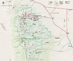
Great Basin National Park Map
Official NPS park map of Great Basin National Park. Shows all roads, trails, and facilities...
448 miles away

