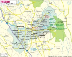
Fresno, California City Map
162 miles away
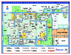
California State University - Fresno Map
California State University - Fresno Campus Map. All areas shown.
162 miles away

Millerton Lake State Recreation Area Park Map
Map of park with detail of trails and recreation zones
162 miles away
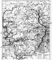
1931 Yosemite National Park Map
Yosemite National Park Map with trails and elevations
162 miles away
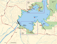
Millerton Lake State Recreation Area SW Map
Map of SW region of park with detail of trails and recreation zones
162 miles away
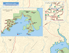
Millerton Lake State Recreation Area NW Map
Map of NW region of park with detail of trails and recreation zones
163 miles away
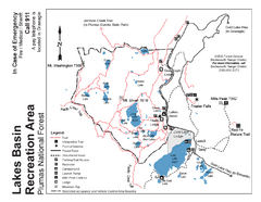
Lakes Basin Recreation Area Trail Map
Trail map of Lakes Basin Recreation Area in Plumas National Forest near Graeagle, California...
163 miles away

Millerton Lake State Recreation Area NE Map
Map of NE region of park with detail of trails and recreation zones
163 miles away
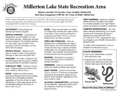
Millerton Lake State Recreation Area Campground...
Map of campground region of park with detail of trails and recreation zones
163 miles away
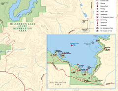
Millerton Lake State Recreation Area SE Map
Map of SE region of park with detail of trails and recreation zones
163 miles away
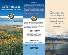
Millerton Lake State Recreation Area Map
Map of park with detail of trails and recreation zones
163 miles away
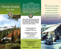
Plumas-Eureka State Park Map
Map of park with detail of trails and recreation zones
165 miles away
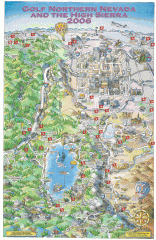
Reno and Lake Tahoe Area Golf map
Illustrated map showing all golf courses in the Reno/lake Tahoe area, 2006 version. To view more...
166 miles away
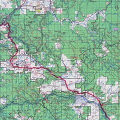
Lassen National Park Map
Forest Visitor Map showing locations of most camping and recreational areas in the eastern part of...
167 miles away
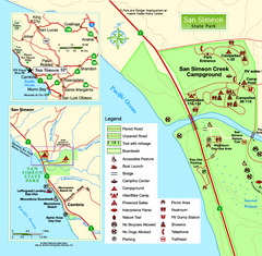
San Simeon State Park West Map
Map of west region of park with detail of trails and recreation zones
167 miles away
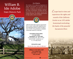
William B. Ide Adobe State Historic Park Map
Map of park with detail of trails and recreation zones
168 miles away
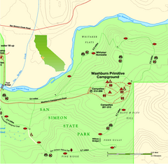
San Simeon State Park East Map
Map of east region of park with detail of trails and recreation zones
168 miles away

San Simeon State Park Map
Map of park with detail of trails and recreation zones
168 miles away
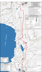
Tahoe Rim Trail: Tahoe Meadows to Spooner Summit...
Topographic hiking map of the Tahoe Meadows-Spooner Summit leg of the Tahoe Rim Trail. Shows bike...
169 miles away
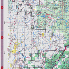
Lassen National Park Map
Visitor Map that shows most of Lassen National Forest with locations of camp grounds and...
169 miles away
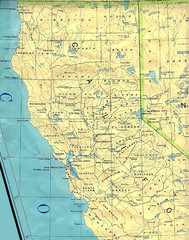
Northern California Map
Map of Northern California including cities, counties, and rivers
169 miles away
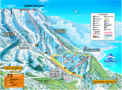
Diamond Peak Ski Trail Map
Trail map from Diamond Peak.
170 miles away
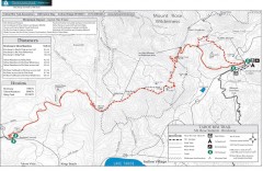
Tahoe Rim Trail: Brockway Summit to Tahoe Meadows...
Trail map of the Brockway Summit-Tahoe Meadows leg of the Tahoe Rim Trail. Bike trails, hiking...
170 miles away
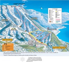
Diamond Peak Ski Trail Map
Official ski trail map of Diamond Peak ski area from the 2007-2008 season.
170 miles away
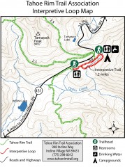
Tahoe Rim Trail: Interpretive Loop, Lake Tahoe...
Trail map of the Tahoe Rim Trail's Interpretive Loop Trail. Shows both trails, camping...
170 miles away
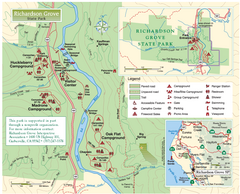
Richardson Grove State Park Map
Park map of Richardson Grove State Park, California. Shows trails, campgrounds, and other...
172 miles away
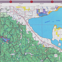
Lassen National Park Map
Forest Visitor Map of the farthest east of the park, shows all camping and recreational areas and...
172 miles away
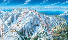
Mt. Rose Ski Trail Map
Official ski trail map of Mt. Rose ski area
174 miles away
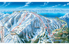
Mt. Rose Ski Tahoe Ski Trail Map
Trail map from Mt. Rose Ski Tahoe.
174 miles away
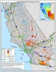
Concentrating Solar Power Prospects California Map
Shows power plants, concentrating solar resources, and transmission lines for all of California...
175 miles away
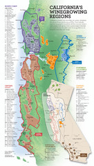
California Wine Map
Wine region map of state of California. Shows 100 American Viticultural Areas (AVAs). There are 4...
176 miles away
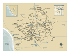
Paso Robles wine country map
Map of Paso Robles area vineyards and wineries.
177 miles away

Carson River Aquatic Trail Map
177 miles away
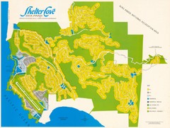
Shelter Cove Map
Shelter Cove Subdivision Map. Shows all streets, houses, commercial buildings, gas stations, and...
179 miles away
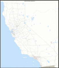
California Zip Code Map
Check out this Zip code map and every other state and county zip code map zipcodeguy.com.
179 miles away
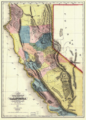
1851 California Regional Map
Great quality map of Californian regions in 1851.
179 miles away
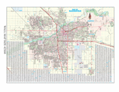
Bakersfield, California City Map
179 miles away
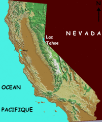
California elevation Map
California map showing elevations by contours, with Lake Tahoe identified.
179 miles away
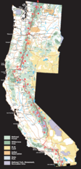
Pacific Crest Trail Route Overview Map
Western United States Map showing National Forests, State Parks, National Parks, Indian...
179 miles away


