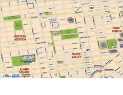
Downtown San Francisco: Hayes Valley, Western...
Tourist map of Hayes Valley, Western Addition, and Civic Center area of downtown San Francisco...
0 miles away
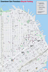
San Francisco Bike Parking Map
Multiple bike-parking points in San Francisco.
less than 1 mile away
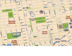
Hayes Valley, Fillmore, Western Addition, Alamo...
Tourist map of Hayes Valley, Fillmore, Western Addition, and Alamo Square in San Francisco.
less than 1 mile away
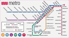
San Francisco Muni Metro map
Official SFMTA San Francisco MUNI Metro map. Shows overlapping BART stations and the Cal Train...
less than 1 mile away
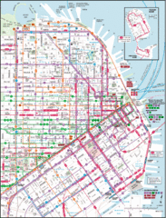
San Francisco Map
Highly detailed map of San Francisco roads and transportation.
less than 1 mile away

Double Decker Tour Bus Map
less than 1 mile away
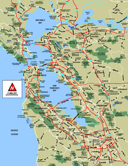
San Francisco Bay Area Map
less than 1 mile away

San Francisco Bay Area Faults and Earthquake...
less than 1 mile away
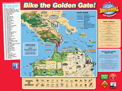
San Francisco Bike Map
less than 1 mile away

Municipal Railway Map
less than 1 mile away
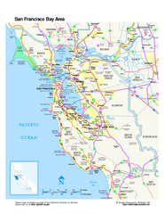
San Francisco Bay Area Map
Overview road map of the San Francisco Bay Area, California
less than 1 mile away
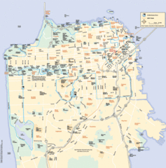
San Francisco Neighborhood Map
Neighborhood map of San Francisco, CA. Shows 49 mile scenic drive.
less than 1 mile away
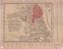
1907 San Francisco Earthquake Map
Map of areas destroyed by fire after 1906 earthquake
less than 1 mile away
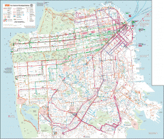
San Francisco Muni system map
Transit Muni system map shows all bus, subway metro, cable car, and streetcar routes.
less than 1 mile away
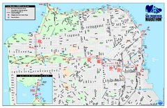
San Francisco 2009 Marathon Map
Guide to the 2009 San Francisco Marathon and Half Marathon
less than 1 mile away

San Francisco Historic Rail Map
Map of San Francisco historic rail lines
1 mile away

Bay to Breakers race course Map
Bay to Breakers course. Held annually on the third Sunday in May. "ING Bay to Breakers...
1 mile away
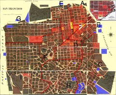
San Francisco Crime Map
A visual representation of crime in San Francisco. This high-level city map of San Francisco shows...
1 mile away
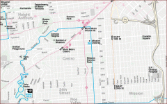
Castro, Mission, Haight-Ashbury, Noe Valley map
Tourist map of Castro, Mission, Haight-Ashbury, Noe Valley, and Twin Peaks in San Francisco
1 mile away
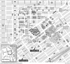
San Francisco City Center Map
1 mile away
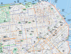
San Francisco Map
Road and Bike routes in San Francisco
1 mile away
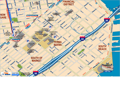
Downtown San Francisco: South of Market, Yerba...
Tourist map of South of Market (SOMA), Yerba Buena Center, and South Beach areas in downtown San...
1 mile away
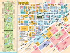
Union Square Tourist Map
Tourist map of Union Square district in San Francisco, California. Shows all venues and points of...
1 mile away
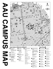
Academy of Art University San Francisco, CA Map
1 mile away
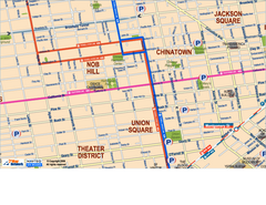
Downtown San Francisco: Union Square, Chinatown...
Tourist map of Union Square, Chinatown and Nob Hill in Downtown San Francisco, California. Public...
1 mile away
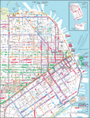
Downtown San Francisco Transit Map
Guide to area and transit in downtown San Francisco
1 mile away
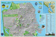
San Francisco Natural Heritage Map
Shows San Francisco's natural habitats and biodiversity is filled with fun facts, restoration...
1 mile away
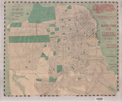
1905 San Francisco Street Map
Pre earthquake map of San Francisco, with several types of street cars and turnaround locations
1 mile away
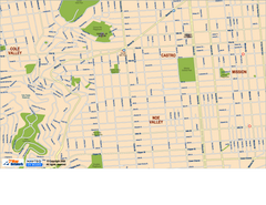
Downtown San Francisco: Castro and Noe Valley Map
Tourist map of the Castro and Noe Valley area in downtown San Francisco, California. Shows Twin...
1 mile away
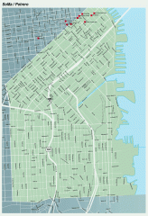
SoMa, Potrero Hill tourist map
Tourist map of SoMa and Potrero Hill in San Francisco
1 mile away
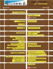
San Francisco Mission Restaurant Map
1 mile away
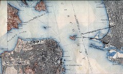
San Francisco Map 1915
1 mile away
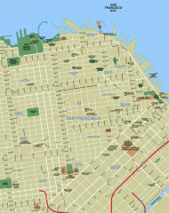
Downtown San Francisco tourist map
Tourist map of Downtown San Francisco spanning several neighborhoods, showing points of interest.
1 mile away
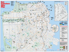
San Francisco Bike Map
Map showing bike paths, bike lanes, bike shops, public transportation, and grades of hills in San...
1 mile away
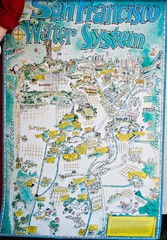
San Francisco Water System Cartoon Map
Cartoon map of the San Francisco Water System. From photo of poster from San Francisco Public...
2 miles away

Farwell’s Map of Chinatown in San Francisco...
This map of vice in San Francisco's Chinatown in 1885. A fascinating historical document, as...
2 miles away
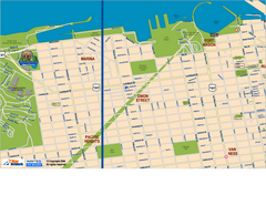
Downtown San Francisco: Fort Mason, the Marina...
Tourist map of Fort Mason, the Marina, and Pacific Heights area in downtown San Francisco...
2 miles away
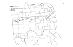
San Francisco Bike Map
Streets in San Francisco
2 miles away
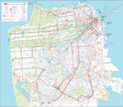
San Francisco Public Transportation map
Transit Muni system map shows all bus, subway metro, cable car, and streetcar routes.
2 miles away
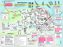
San Francisco Bus and Ferry Map
2 miles away

