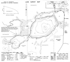
Fireside Lake Survey Map
Survey of Lake and surrounding areas done by State of Wisconsin Department of Natural Resources
89 miles away
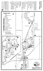
Banning State Park Summer Map
Map of park with detail of trails and recreation zones
89 miles away
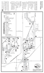
Banning State Park Winter Map
Map of park with detail of trails and recreation zones
89 miles away

Father Hennepin State Park Map
Map of park with detail of trails and recreation zones
90 miles away
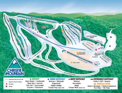
Christie Mountain Ski Area Ski Trail Map
Trail map from Christie Mountain Ski Area.
91 miles away
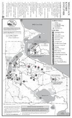
Mile Lacs Kathio State Park Summer Map
Summer seasonal map of park with detail of trails and recreation zones
92 miles away

Mile Lacs Kathio State Park Winter Map
Winter seasonal map of park with detail of trails and recreation zones
93 miles away
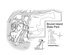
Brunet Island State Park Map
Easy to read legend.
94 miles away

Spicer City Map
City map of Spicer, Minnesota with visitor's information
96 miles away
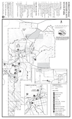
Forestville/Mystery Cave State Park Map
Map of park with detail of trails and recreation zones
96 miles away
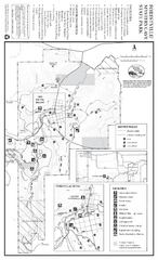
Forestville/Mystery Cave State Park Winter Map
Winter map of park with detail of trails and recreation zones
96 miles away
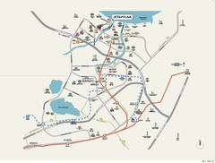
Stratum Condominium in Singapore Map
Stratum Condominium in Singapore offers great units and facilities to all their clients. With high...
96 miles away
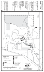
Lake Louise State Park Map
Map of park with detail of trails and recreation zones
97 miles away
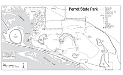
Perrot State Park Map
Have a wonderful vacation hiking through this natural setting.
99 miles away
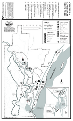
Charles A. Lindbergh State Park Map
Map of park with detail of trails and recreation zones
99 miles away
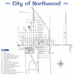
Northwood City Map
City map of Northwood, Iowa with key of churches, parks, and other points of interest.
100 miles away
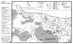
Sibley State Park Winter Map
Winter seasonal map of park with detail of trails and recreation zones
102 miles away
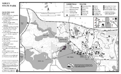
Sibley State Park Summer Map
map of park with detail of trails and recreation zones
102 miles away
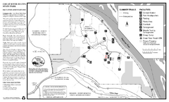
Great River Bluffs State Park Summer Map
Summer season map of park with detail of trails and recreation zones
104 miles away
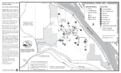
Great River Bluffs State Park Winter Map
Winter season map of park with detail of trails and recreation zones
105 miles away
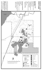
Moose Lake State Park Winter Map
Winter seasonal map of park with detail of trails and recreation zones
108 miles away
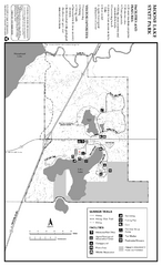
Moose Lake State Park Summer Map
Summer seasonal map of park with detail of trails and recreation zones
108 miles away
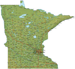
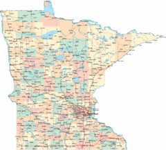
Minnesota Road Map
Minnesota road map with relief
109 miles away
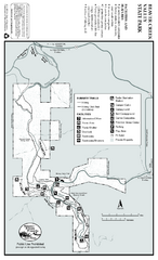
Beaver Creek Valley State Park Map
Map of park with detail of trails and recreation zones
112 miles away
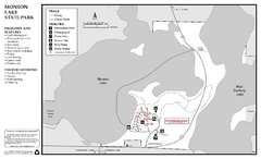
Monson Lake State Park Map
Map of park with detail of trails and recreation zones
113 miles away
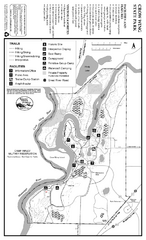
Crow Wing State Park Map
Map of park with detail of trails and recreation zones
114 miles away

Bruce Mound Ski Area Ski Trail Map
Trail map from Bruce Mound Ski Area.
115 miles away

Pilot Knob State Park Map
Map of trails and park facilities in Pilot Knob State Park.
116 miles away
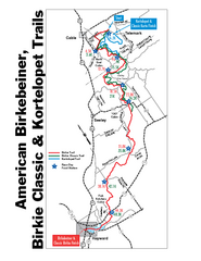
Birkebeiner Cross Country Ski Race Map
Guide to the Birkebeiner Cross Country Ski Race in Wisconsin
117 miles away
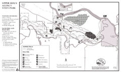
Upper Sioux Agency State Park Summer Map
Summer seasonal map of park with detail of trails and recreation zones
118 miles away
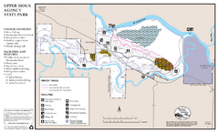
Upper Sioux Agency State Park Winter Map
Winter seasonal map of park with detail of trails and recreation zone
119 miles away
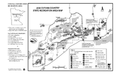
Cuyuna Country State Recreation Area Map
Map of park with detail of trails and recreation zones
119 miles away

Mt. La Crosse Ski Trail Map
Trail map from Mt. La Crosse.
122 miles away
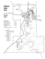
Pattison State Park Map
Great trails for a wonderfully relaxing summer vacation.
122 miles away
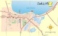
Osakis City Map
A quaint city on the shore of a beautiful lake.
123 miles away
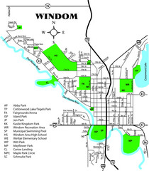
Windom City Parks Map
124 miles away
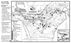
Jay Cooke State Park Summer Map
Summer seasonal map of park with detail of trails and recreation zones
126 miles away
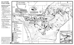
Jay Cooke State Park Winter Map
Winter seasonal map of park with detail of trails and recreation zones
126 miles away

Mont du Lac Ski Area Ski Trail Map
Trail map from Mont du Lac Ski Area.
128 miles away

