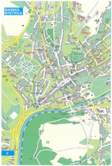
Banska Bystrica Tourist Map
Tourist map of central Banska Bystrica, Slovakia. Shows points of interest. Scanned.
261 miles away
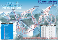
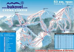
Bukovel Ski Resort Map
Map of Bukovel's slopes, lifts and resort
265 miles away
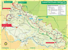
Transcarpathia Hiking Trail Map
Map of the Transcarpathia Hiking Trail (THT) in Ukraine. Trail runs through the territory of...
265 miles away
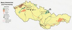
Czechoslovakia Resources Map (1974)
Map of 1974 Czechoslovakia resources
267 miles away
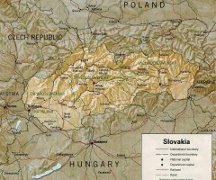
Slovakia country map
Map of Slovakia with surrounding countries. Shows boundaries, major cities, and shaded with...
268 miles away

Elevation Profile for Klasik Route Map
Elevation Profile for Klasik Route Map for 2008 for Dubnicky Marathon
270 miles away
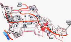
Vysehrad Tourist Map
271 miles away
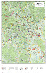
Krašić Bike Trail Map
Bike routes of the Krašić-Vivodina region.
271 miles away
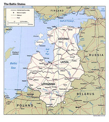
Baltic States Map
273 miles away
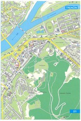
Trencin Tourist Map
Tourist map of Trencin, Slovakia. Shows points of interest.
275 miles away
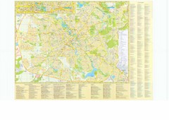
Minsk City Map
City map of Minsk, Belarus. Has street index and shows museums, galleries, theaters, hotels...
276 miles away
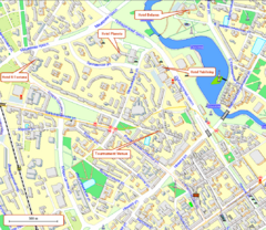
Tsentralny District, Minsk Tourist Map
Tourist map for Tsentralny district of Minsk.
276 miles away
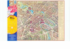
Minsk Central Map
Panoramic map of central Minsk, Belarus. Some spots are highlighted. Scanned.
276 miles away
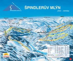
Špindlerův Mlýn Ski Trail Map
Trail map from Špindlerův Mlýn.
276 miles away
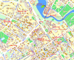
Minsk, Belarus Tourist Map
276 miles away
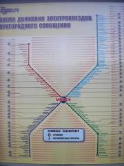
Minsk Suburban Train Map
Suburban trains map of Minsk, Belarus. Shows stations and stops. In Russian. From photo.
277 miles away
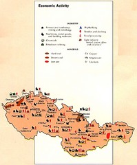
Czechoslovakia Economic Activity Map
Map of economic activity throughout region
278 miles away
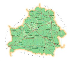
Belarus Map
279 miles away
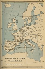
Universities of Europe Historical Map
281 miles away
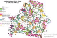
Belarus National Ecological Network Map
Ecological Network map of country of Belarus. Show protected lands, cores of significance, and...
286 miles away
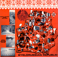
Belarussian Republic BSSR 1971 Map
Map shows points of industry and some country info from the Belarussian Republic in 1971
286 miles away
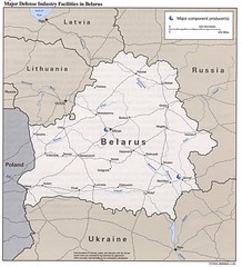
Belarus Defense Facilities Map
Map of major defense industry facilities throughout Belarus
286 miles away
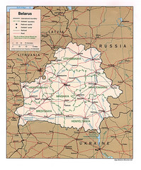
Belarus Political Map
286 miles away
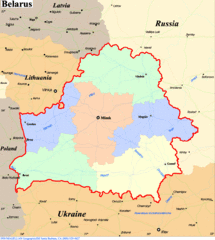
Belarus Map
286 miles away
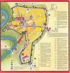
Rothenburg Tourist Map
Tourist map of town of Rothenburg
289 miles away
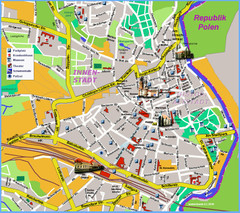
Goerlitz Tourist Map
Tourist street map of Goerlitz
292 miles away
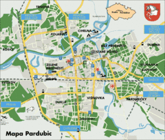
Pardubice Tourist Map
Tourist map of Pardubice, Czech Republic
292 miles away
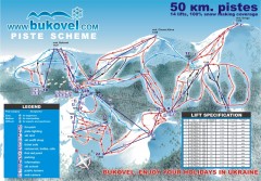
'Bukovel' Ski Resort Piste Map
Bukovel Ski Resort Piste Scheme. Near Yaremcha, Ukraine
293 miles away
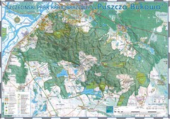
Map_Puszcza_Bukowa_Szczecin_PL.jpg Map
Map Map_Puszcza_Bukowa_Szczecin_PL.jpg is a tourist map made with an extensive use of GlobalMapper...
299 miles away
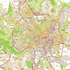
Brno Tourist Map
Tourist map of Brno, Czech Republic. Shows central Brno and surrounding area.
299 miles away
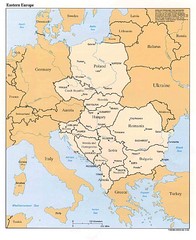
Eastern European Map
Map of Eastern Europe, Poland to Bulgaria
299 miles away
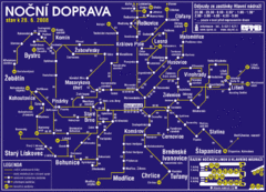
Brno Czech Republic Mass Transit Map
Mass Transit map showing all routes and stops in Brno, Czech Republic.
300 miles away
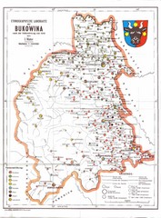
Bukovina Ethnographic Map
Ethnographic map of Bukovina, currently split between Romania and Ukraine. Map as of 1910. In...
302 miles away
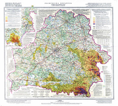
Radiation contamination in Belarus Map
302 miles away
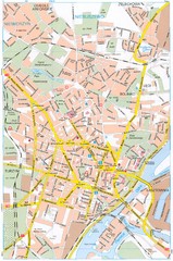
Szczecin Tourist Map
Tourist map of central Szczecin, Poland. Shows points of interest.
306 miles away
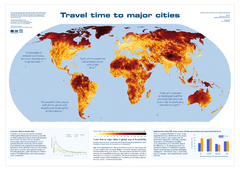
Global Map of Accessibility
European Commission has produced a gorgeous map of global accessibility to cities.
307 miles away
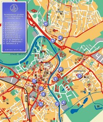
Nitra City Map
City map of central Nitra, Slovakia
309 miles away
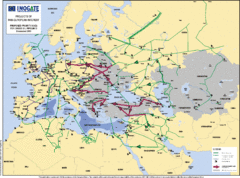
Proposed European Crude Oil Pipelines Map
Shows pan-European proposed priority axes for crude oil pipelines
309 miles away
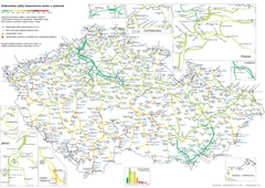
Elevation Railway Map of Czech Republic
Elevation of railways and main stations in Czech republic. Blue numbers show elevation of stations...
309 miles away

