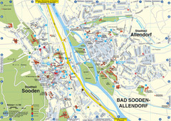
Sooden-Allendorf Map
Street map of Sooden and Allendorf
500 miles away
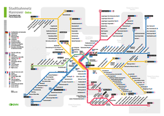
Hannover, Nahverkehr Map
501 miles away
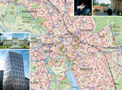
Hannover Tourist Map
Tourist map of central Hannover, Germany. Shows points of interest and some photos.
501 miles away
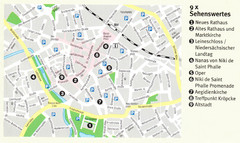
Hannover Map
501 miles away
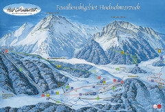
Berchtesgadener Land Ski Trail Map
Trail map from Berchtesgadener Land.
501 miles away
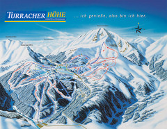
Turracher Höhe Ski Trail Map
Trail map from Turracher Höhe.
501 miles away
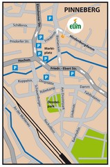
Pinneberg Center Map
Map of Pinneberg town center
501 miles away
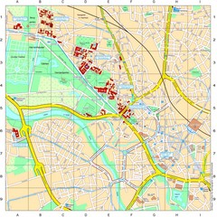
Leibniz Universität Hannover Map
Campus map of the Leibniz Universität Hannover in Hannover, Germany. All school buildings...
501 miles away
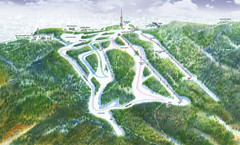
Medvednica Ski Trail Map
Trail map from Medvednica.
502 miles away

Central Balkan Map
Countries in Central Europe
504 miles away
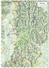
Villages and Sutla River Valley Bike Route Map
Bike routes and trails through the villages to the Sutla River Valley in Croatia. Note: The map...
504 miles away
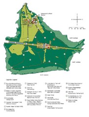
Chiemsee Island Germany Tourist Map
Tourist map of the island showing all the tourist sites.
505 miles away
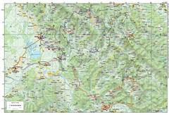
Bike Route starting in Ivanić-Grad Map
Bike route and trails through the cradle of Croatia’s oil drilling industry and the wondrous...
505 miles away
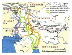
Slovenia Tour Map
506 miles away
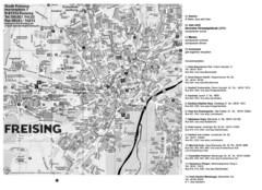
Freising City Map
506 miles away
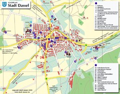
Dassel Tourist Map
Tourist street map of Dassel
506 miles away
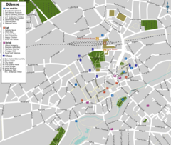
Odense Tourist Map
Tourist map of downtown
507 miles away
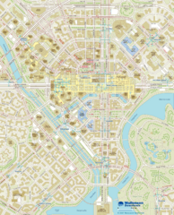
Wallensen Downtown Map
Wallensen City Downtown Map.
507 miles away
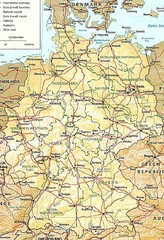
Germany Map
Map of Germany showing roads, railways and cities.
508 miles away
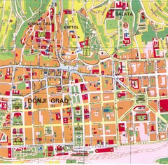
Zagreb Tourist Map
Tourist map of central Zagreb, Croatia. Shows major buildings.
508 miles away
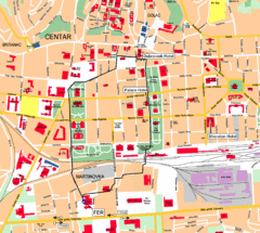
Zagreb Center Map
508 miles away
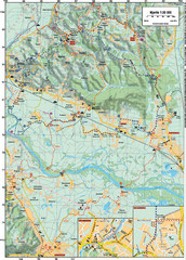
Sulta and Sava Croatia Cycling Route Map
the trails on this map are through picturesque hills to the confluence of the Sutla and Sava Rivers...
508 miles away
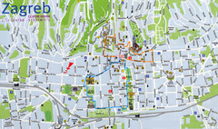
Zagreb Croatia Tourist Map
Zagreb City Centre Tourist map showing tourist attractions, hotels, tourist information and city...
508 miles away
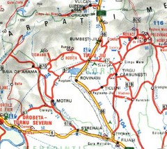
Gorj Map
510 miles away
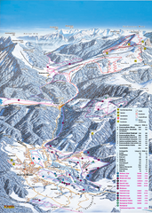
Reit im Winkl Ski Trail Map
Trail map from Reit im Winkl.
510 miles away
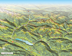
Nockberge National Park Map
Outline map of Nockberge National Park, Austria in the summer. Shows surrounding towns.
511 miles away

Slavonski Brod Tourist Map
Map of Slavonski Brod, Croatia showing streets, hotels, restaurants and tourist attractions.
512 miles away
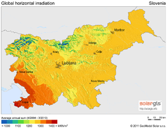
Solar Radiation Map of Slovenia
Solar Radiation Map Based on high resolution Solar Radiation Database: SolarGIS. On the Solar Map...
512 miles away
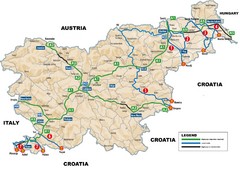
Slovenia Highways Map
512 miles away
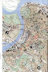
Belgrade Map
City map of Belgrade, Serbia (Beograd)
512 miles away

Arkabarka Hostel Location Map
512 miles away
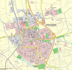
Gerolzhofen Map
Detailed street map of Gerolzhofen
512 miles away
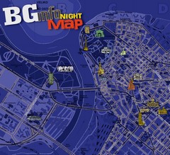
Belgrade Night Map
Tourist map of Belgrade, Serbia with recommendations for nightlife. Published quarterly in...
512 miles away
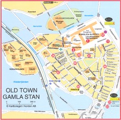
Stockholm - Gamla Stan Map
513 miles away
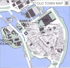
Stockholm old town Map
513 miles away
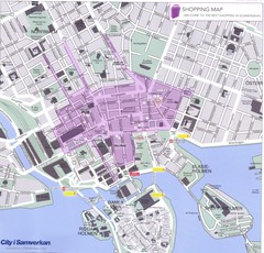
Stockholm shopping Map
513 miles away

