Riyadh map
691 miles away
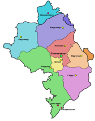
Administrative Map of Nagorny Karabakh (Artsakh)
Administrative Division of the Nagorno-Karabakh Republic (Artsakh)
692 miles away
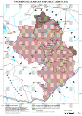
Karabakh Map
Up-to-date Map of the Nagorno-Karabakh Republic (Republic of Arstakh)
693 miles away
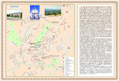
Stepanakert City Map
Map of Stepanakert, Nagorno-Karabakh Republic (Artsakh)
693 miles away
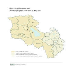
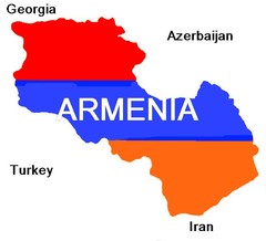
Map of Armenian states - the Republic of Armenia...
Map of Armenian states - the Republic of Armenia and the Nagorno-Karabakh Republic
693 miles away
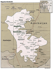
Nagorno-Karabakh Map
Major towns and borders are clearly marked on this map.
696 miles away
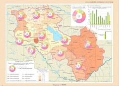
Educational Attainment in Armenia and Nagorny...
Map of Educational Attainment in the Armenian states - Republic of Armenia and the Nagorno-Karabakh...
697 miles away
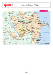
Azerbaijan Regional Map
Country map with detail of regional divides
699 miles away

Az Map
Armenian Historical Monuments of the Upper and Lower Karabakh
701 miles away
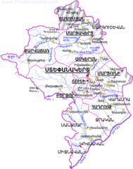
Map of the NKR
Map of the Nagorno-Karabakh Republic (Republic of Artsakh)
701 miles away
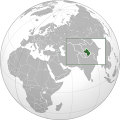
Nagorny Karabakh on the Globe Map
703 miles away
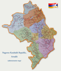
Map of the Nagorno-Karabakh Republic (Artsakh)
Administrative Map of the Nagorno-Karabakh Republic (Republic of Artsakh)
703 miles away
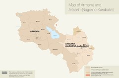
Map of Armenia and Nagorny Karabakh
704 miles away
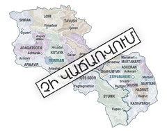
Armenian Lands Are Not For Sale Map
Holy lands of the Armenian states - the Republic of Armenia (Ararat Republic) and the Nagorno...
705 miles away
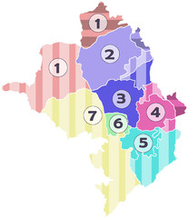
Administrative Units of the Nagorno-Karabakh...
Administrative Units of the Nagorno-Karabakh Republic (Artsakh)
705 miles away
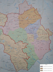
Map of the Nagorno-Karabakh Republic (Artsakh)
Administrative Map of the Nagorno-Karabakh Republic (Republic of Artsakh)
705 miles away
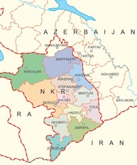
Map of Nagorno-Karabakh (Artsakh)
Map of the Nagorno-Karabakh Republic (Republic of Artsakh)
705 miles away
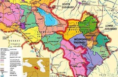
Karabakh Map
Map of the Nagorno-Karabakh Republic (Republic of Artsakh)
705 miles away
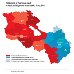
Map of Armenia and Nagorny Karabakh
Map of Armenian states - Republic of Armenia and the Nagorno-Karabakh Republic
705 miles away
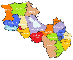
Map of Armenia and Nagorny Karabakh
Map of Armenian states - Republic of Armenia and the Nagorno-Karabakh Republic
705 miles away
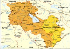
Map of Armenian states - Republic of Armenia and...
Map of Armenia and Nagorny Karabakh
705 miles away
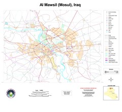
Mosul Overview Map
Shows points of interest and major roads in Mosul, Iraq area (Al Mawsil)
710 miles away
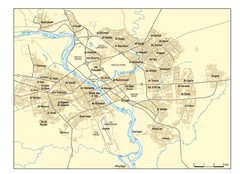
Mosul Area Map
City map of Mosul, Iraq area on the Tigris River with neighborhoods.
710 miles away
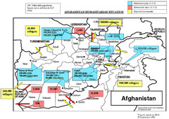
AFG Humanitarian Map
712 miles away
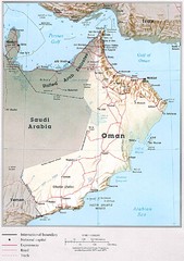
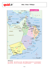
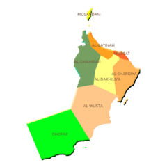
Oman Country Map
726 miles away
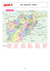
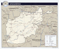
Afghanistan Provinces Map
Map of Afghanistan, with detail of province divisions
727 miles away

AFG Security & Poppy Cultivation 2008 Map
734 miles away
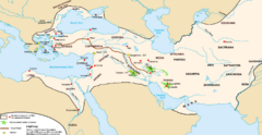
Achaemenid Empire Guide Map
744 miles away
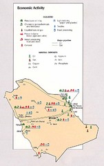
Saudi Arabia Economic Activity Map
Map of Saudi Arabia's economic activity
748 miles away
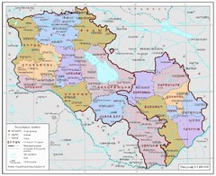
Map of Armenia and Nagorny Karabakh
Map of Armenian states - the Republic of Armenia and the Nagorno-Karabakh Republic
753 miles away
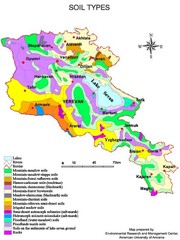
Armenian soil types Map
756 miles away
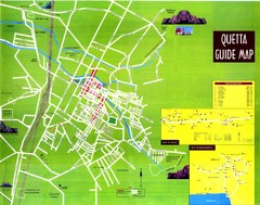
Quetta City Map
City map of Quetta, Pakistan. Shows major streets.
760 miles away
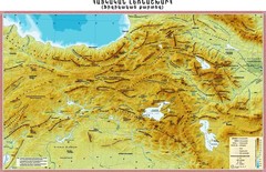
Armenian Highland Map
Map of the Armenian Haghland
762 miles away
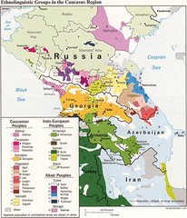
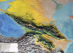
Ethnolinguistics in Caucus Region Map
762 miles away
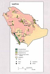
Saudi Arabia Land Use Map
Map of Saudi Arabia's land use
765 miles away

