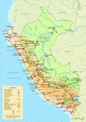
Peru Map
627 miles away
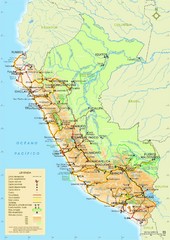
Peru Map
Map of Peru. Arequipa highlighted. In Spanish.
627 miles away
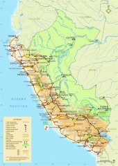
Peru National Parks map
Shows all national parks in Peru. In Spanish
627 miles away
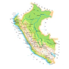
Peru Map
639 miles away
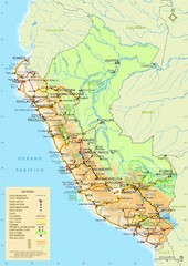
Peru Tourist Map
640 miles away
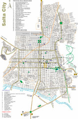
Salta Tourist Map
Tourist street map of Salta
642 miles away
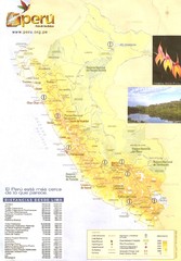
Peru Map
647 miles away
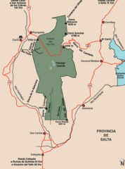
Los Cardones National Park Map
Map of park with detail of trails
648 miles away
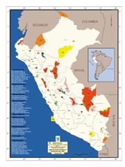
Peru National Parks Map
652 miles away
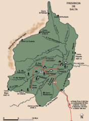
El Rey National Park Map
Map of park with detail of trails
657 miles away
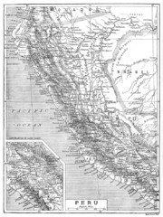
Peru 1906 Map
663 miles away
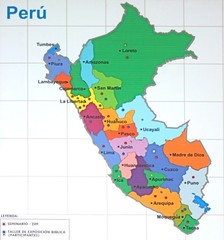
Regions of Peru Map
678 miles away
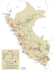
Peru Tourist Map
704 miles away

The Amazon Tourist Map
The Amazon in South America
738 miles away
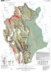
Cordillera Azul NP landcover Map
740 miles away
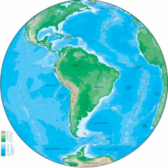
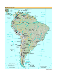
South America Globe Map
Guide to South America, in globe version, not flat
757 miles away
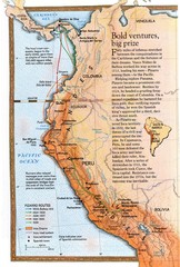
Pizzaro's South American Exploration routes...
766 miles away
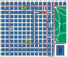
San Miguel de Tucuman City Map
Street map of downtown
777 miles away
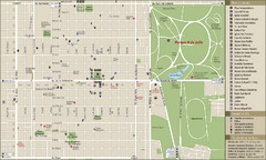
San Miguel de Tucuman Tourist Map
Tourist street map of downtown
778 miles away
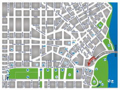
Termas De Rio Hondo Map
City street map
829 miles away

Paraguay political Map
837 miles away

Paraguay Map
847 miles away
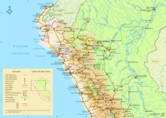
Northern Peru Map
851 miles away

Paraguay Map
Map of Paraguay showing cities, roads, railroads and borders.
856 miles away
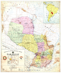
Official map of Paraguay
Official map of Paraguay, year 1993
856 miles away
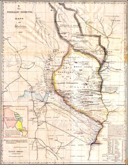
Wartime map of the Chaco
This 1933 map of the Chaco was made during the Chaco War between Paraguay and Bolivia and used by...
856 miles away
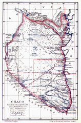
All the failed proposals to delimit the Chaco Map
Here you can see all the proposals to delimit the Chaco between 1879 and 1894. Everyone of them...
856 miles away
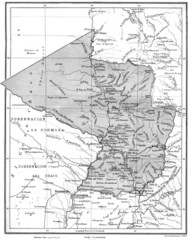
Map of Paraguay before the Chaco War
This is an internationally accepted map of Paraguay before the Chaco War (1932-35) made by Scottish...
856 miles away
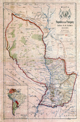
Map of Paraguay before the Chaco War
This dateless map of Paraguay that I scanned shows all the local claim over the Chaco (the northern...
856 miles away
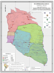
Ecological Region of the Chaco Map
This is the ecological Region of the Chaco shared between Paraguay and Bolivia
856 miles away
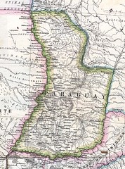
Paraguay Political Map 1875
Political map of Paraguay in 1875. Part of "Mapa Original de la Republica Argentina y Estados...
856 miles away
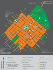
Santiago Del Estero Tourist Map
Tourist street map of city center
861 miles away
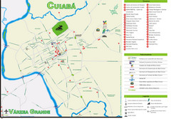
Cuiaba Tourist Map
Tourist street map of town
864 miles away
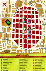
Trujillo Tourist Map
Tourist map of historical city center
873 miles away

