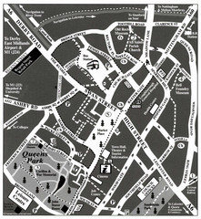
Loughborough Town Centre Map
330 miles away
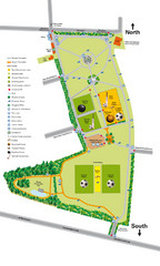
Palfrey Park Map
Detail map of Palfrey Park
331 miles away
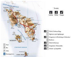
Sandoy Island Tourist Map
Tourist map of Sandoy, Faroe Islands. Shows ferry and bus stops and 7 hikes rated by difficulty
335 miles away
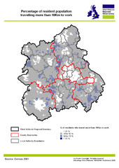
West Midlands Travel Time Statistics Map
Percentage of residents who travel to work in West Midlands, England
335 miles away
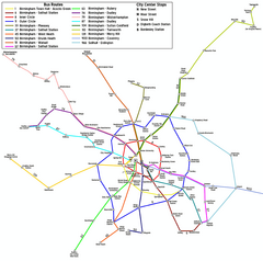
Birmingham Transit Map
Guide to bus lines in Birmingham, UK
335 miles away

Birmingham City Map
Street map of Birmingham, England. Shows buildings, hospitals, parking, and schools.
338 miles away
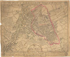
1731 Birmingham Map
Guide to historic Birmingham, UK
338 miles away
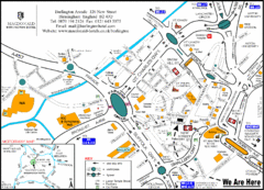
Central Birmingham Map
338 miles away
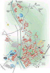
University of Birmingham Map
Guide to Birmingham University and surrounds
339 miles away
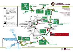
Leicester City Learning Centres Map
340 miles away
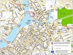
Limerick City Map
City map of Limerick, Ireland with City Council offices highlighted
340 miles away
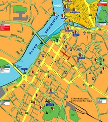
Central Limerick, Ireland Tourist Map
341 miles away
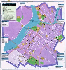
Limerick Tourist Map
Tourist map of central Limerick, Ireland. Shows tourist points of interest in city center...
341 miles away
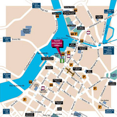
Limerick Tourist Map
341 miles away
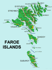
Faroe Islands Map
Overview map of the Faroe Islands.
342 miles away
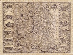
Old Maps - Wales Map
Includes illustrations of individual Welsh county towns.
343 miles away
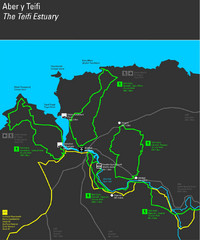
Cardigan Walks Map
Trail map of 6 circular walks in the Cardigan area ranging between four and a half and six and a...
343 miles away
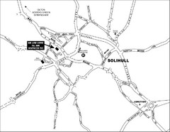
Solihull Town Map
344 miles away
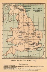
England War of the Roses Map
Guide to battle sites, encampments and treaties of the War of the Roses in England
345 miles away
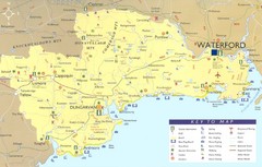
Waterford Tourist Map
This map and key allow you to find a high number of activities and points of interest in this fun...
346 miles away
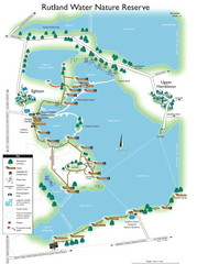
Map of Rudlin Nature Reserve
Full-color map of Rudlin Water Nature Reserve that includes the locations off all Footpaths...
346 miles away
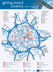
Coventry Tourist Map
Tourist map of central Coventry, England. Shows points of interest.
348 miles away
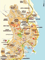
Torshavn city Map
349 miles away
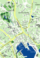
Downtown Torshavn Map
Street map of downtown Torshavn
349 miles away
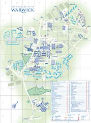
University of Warwick Campus Map
Near Coventry, West Midlands
350 miles away
Delaine Bus Route Map
Map of bus routes throughout from Borne to Peterborough
352 miles away
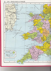
Wales Political Map
Map of Wales and southwest England
356 miles away
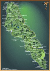
Streymoy Island Map
357 miles away
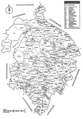
Warwichshire, England Region Map
358 miles away
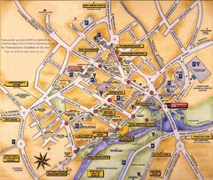
Stratford-upon-Avon Tourist Map
Tourist map of Stratford-upon-Avon, UK. Shows points of interest.
359 miles away
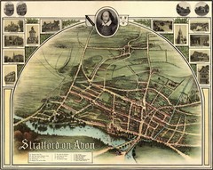
1902 Stratford-upon-Avon Map
Map of William Shakespeare's birthplace
360 miles away
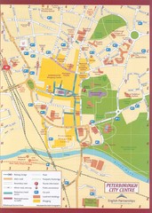
Peterborough City Center Map
City map of central Peterborough, England
360 miles away
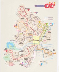
Peterborough Stage Coach Citi Bus Map
360 miles away
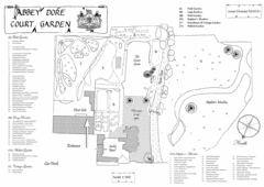
Abbey Dore Court Garden Map
361 miles away
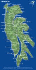
Eysturoy island Map
362 miles away
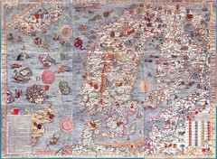
"Carta Marina" Scandinavian Marine Map
An ornate map of sea monsters, sinking ships, snakes, wolves and Scandinavia
362 miles away
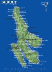
Bordoy island Map
363 miles away
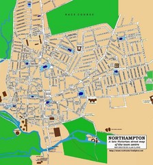
Northampton Town Map
Street map of Northampton from the late Victorian period
369 miles away
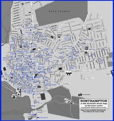
Northampton Town Map
Map of Northampton from the late Victorian period with public houses, inns, hotels, and pubs all...
369 miles away


