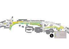
Bawtry Road Bus Lane Map
285 miles away
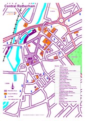
Central Rotherham Map
286 miles away
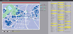
University of Sheffield Map
Campus map
287 miles away
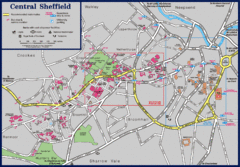
Central Sheffield Map
Map shows central Sheffield, England area. Bus stops and University of Sheffield parking areas...
287 miles away
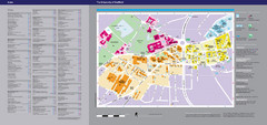
The University of Sheffield Reference Map
The University of Sheffield, United Kingdom
287 miles away
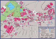
University of Sheffield Map
Campus map of the University of Sheffield in Sheffield, England. Shows parking, bus stops, and...
287 miles away
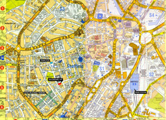
Sheffield City Center Map
287 miles away
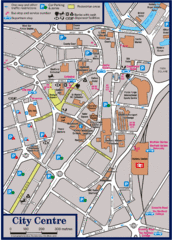
Sheffield Tourist Map
Tourist map of the city center of Sheffield, England.
287 miles away
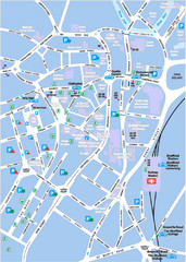
Sheffield City Map
City centre map of Sheffield, England. Shows parking, ATMs, and other points of interest.
287 miles away
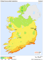
Solar Radiation Map of Ireland
Solar Radiation Map Based on high resolution Solar Radiation Database: SolarGIS. On the Solar Map...
287 miles away
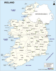
Ireland Political Map
287 miles away
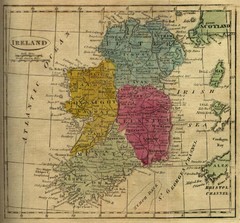
1808 Ireland Historical Map
287 miles away
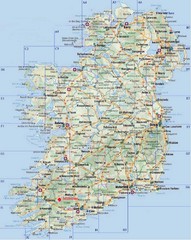
Ireland Tourist Map
287 miles away
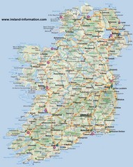
Ireland Travel Map
Map of Ireland detailing cities, major roads and airports.
287 miles away
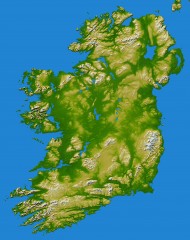
Ireland Topo Map
Shading and color-coding of topographic height.
287 miles away

Areas Surrounding Bakewell, UK Map
Cities and areas around Bakewell, United Kingdom
288 miles away
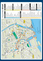
Hull City Centre Map
Tourist map of city of Hull. Shows points of interest including shopping, attractions, places...
289 miles away
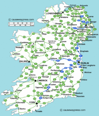
Road Map of Ireland
Road map of Ireland showing all motorways and major roads.
289 miles away
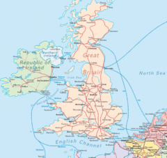
United Kingdom Transit Map
Guide to rail and ferries in the United Kingdom and surrounds
291 miles away
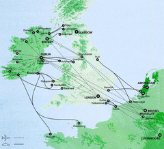
Ireland to Luxembourg Travel Map
Major routes from Ireland to Luxembourg. Shows major cities in Ireland, England, Germany and the...
292 miles away
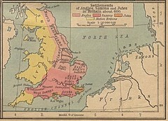
600 British Settlement Map
Map of settlements of Angels, Saxons, Jutes and Native Britons in 600
299 miles away
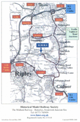
Central England Tourist Map
The area around Nottingham
307 miles away

DTb Master Diagram (early draft) Map
DUKERIES THINKBELT: MASTER DIAGRAM All elements and key
308 miles away
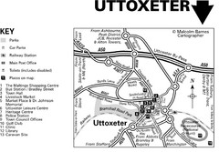
Uttoxeter Town Centre Map
311 miles away
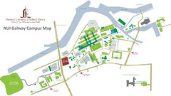
NUI Galway Campus Map
Map of National University of Ireland, Galway Campus
311 miles away
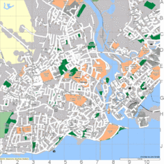
Galway, Ireland Tourist Map
311 miles away
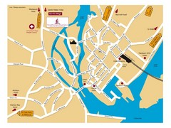
Galway, Ireland Tourist Map
311 miles away

Galway City Map
City map of Galway, Ireland showing city streets, schools, and parking.
311 miles away
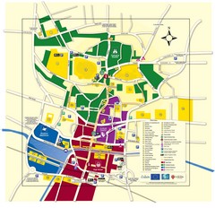
Lincoln Tourist Map
Tourist map of Lincoln, England. Shows points of interest.
314 miles away
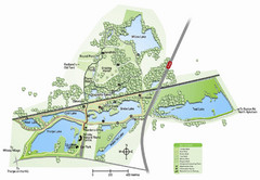
Whisby Nature Park Map
Shows park as of January 2009.
315 miles away
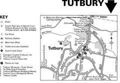
Tutbury Town Centre Map
316 miles away
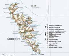
Suðuroy Tourist Map
Tourist map of Suduroy, Faroe Islands.
317 miles away
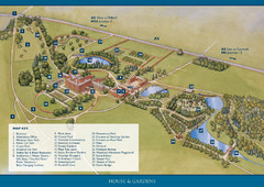
Weston Park Estate Map
319 miles away
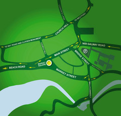
Clifden Overview Map
Simple street map of center of Clifden, Ireland
322 miles away
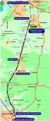
Nottingham Transport Map
A map showing train stations in Loughborough to Nottingham. Includes surrounding roads, towns...
325 miles away
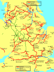
UK Broad Beam Canal Map
Guide to UK waterways that accommodate a barge
325 miles away

Woodhall Spa Map
Street map of Woodhall Spa
326 miles away

Main Historic Sites in Wales Map
Welsh Historic Monuments map (CADW) showing roads, cities and the main castles and abbeys in Wales.
328 miles away
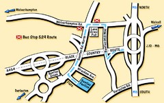
Bentley Map
Location map for Bentley. Includes roads, bus stops, and directions to Bentley Pavilion.
329 miles away
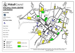
Downtown Walsall Parking Map
330 miles away

