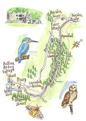
A walk around Bolton Abbey Yorkshire Map
A walk around Bolton Abbey in Yorkshire, Uk. Produced for Dales Life Magazine.
241 miles away
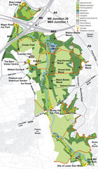
Cuerden Valley Park Map
247 miles away
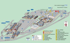
Royal Blackburn Hospital Map
Maps of Royal Blackburn
248 miles away
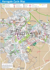
Harrogate Cycling Map
Shows traffic free cycling routes, advisory routes, traffic calmed roads, cycle lanes, bike shops...
248 miles away
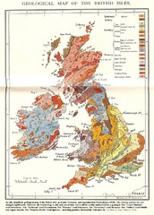
British Isles Geological Map
Old British Isles geological map
248 miles away
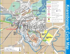
Knaresborough Cycling Map
Shows traffic free cycling routes, advisory routes, traffic calmed roads, cycle lanes, bike shops...
248 miles away
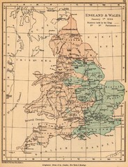
1644 England and Wales Political Map
Map showing districts held by teh King versus the Parliament during the Puritan Revolution
251 miles away

Rossendale Hospital Map
Campus map of hospital
253 miles away
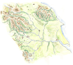
Yorkshire topography Map
255 miles away
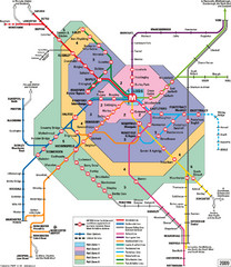
Leeds Metro Train Diagram Map
Metro system map for Leeds, England and surrounding cities.
260 miles away
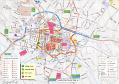
Leeds Tourist Map
Tourist map of city center of Leeds, UK
260 miles away
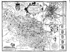
1610 Yorkshire County Historical Map
A 1610 map of Yorkshire Country in the United Kingdom
260 miles away
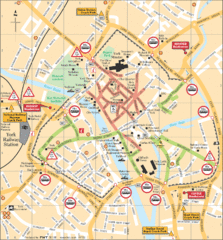
York Tourist Map
260 miles away
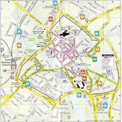
York England Tourist Map
Tourist map of York England showing roads, tourist sites ad railways.
260 miles away
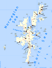
Shetland Islands Tourist Map
260 miles away
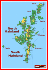
Shetland Islands Tourist Map
260 miles away
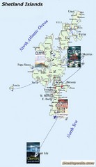
Shetland Islands Tourist Map
260 miles away
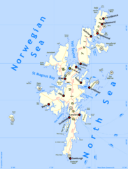
Shetland Islands Map
260 miles away
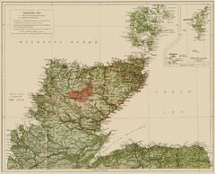
Sutherland Historical Map
Map of Sutherland and Caithness in Saga-Time
260 miles away

Schematic UK Postcode Map
Shows all postcode areas in the United Kingdom in shape of UK with London extracted.
261 miles away
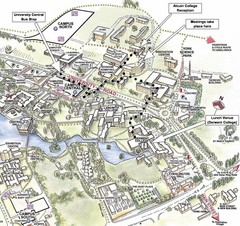
University of York Campus Map
Relevant landmarks and main roads and buildings
261 miles away
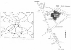
University of Leeds Campus Map
Various buildings on the University of Leeds campus
261 miles away
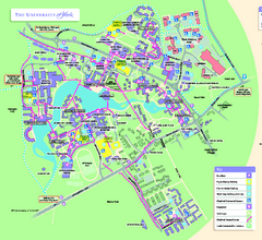
University of York Map - Heslington Campus
Campus map of the University of York Heslington Campus near York, England.
261 miles away
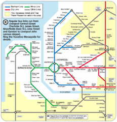
Merseyside Tube Map
262 miles away
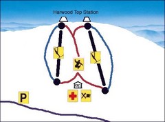
Harwood Sketch Ski Trail Map
Trail map from Harwood.
262 miles away
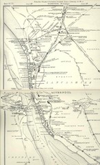
Liverpool Railway Map
Guide to historic rail lines around Liverpool
263 miles away
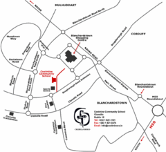
Coolmine Community School Location Map
Coolmine caters for over 1100 day-pupils, both boys and girls, aged from 12 to 18 years who live...
263 miles away
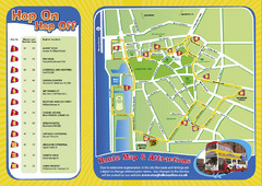
Liverpool Bus Tour Map
263 miles away
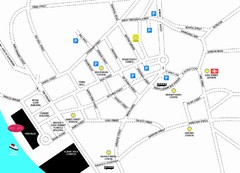
Merseytravel Headquarters Location Map
263 miles away
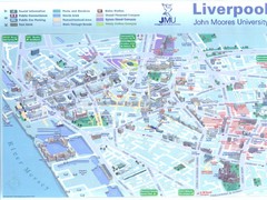
John Moores University Map
Campus map of John Moores University, Liverpool, UK
263 miles away
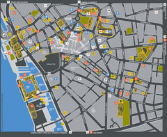
Liverpool Tourist Map
Tourist map of central Liverpool, England, UK. Shows points of interest.
263 miles away
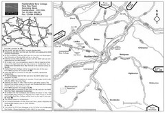
Huddersfield New College Location Map
263 miles away
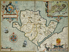
Anglesey Map
263 miles away
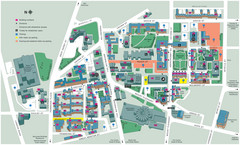
University of Liverpool Map
Campus Map
264 miles away
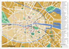
Dublin City Map
City map of Dublin with places of interest
264 miles away
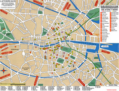
Dublin Tourist Map
Tourist street map of Dublin
264 miles away
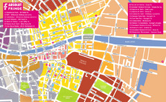
Dublin Restaurants Map
264 miles away
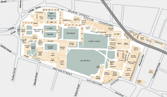
Trinity College Campus Map
Trinity College builds on its four-hundred-year-old tradition of scholarship to confirm its...
264 miles away
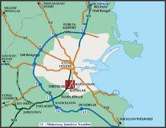
Central Dublin, Ireland Highway Map
264 miles away
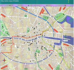
Central Dublin, Ireland City Map
264 miles away

