Letterkenny Map
185 miles away
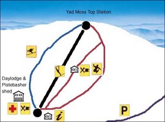
Yad Moss Sketch Ski Trail Map
Trail map from Yad Moss.
187 miles away
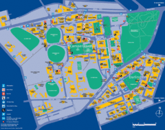
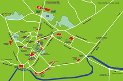
Camperdown Tourist Map
Guide map for Camperdown and Darlington, United Kingdom
187 miles away
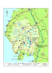
Lake District National Park Map
Detailed map marking the roads and boundaries of on of Britain's National Parks.
189 miles away
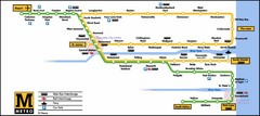
Newcastle Metro System Map
190 miles away
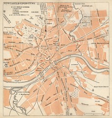
Newcastle upon Tyne Map
1920 Michelin Map to Newcastle upon Tyne, UK
190 miles away
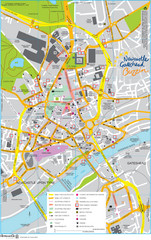
Newcastle Tourist Map
Tourist map of central Newcastle Upon Tyne, UK. Shows points of interest.
190 miles away
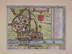
1611 Newcastle-Upon-Tyne Historic Map
Guide to historic Newcastle upon Tyne
190 miles away
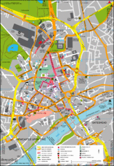
Newcastle City Map
City center map of Newcastle Upon Tyne, UK
190 miles away
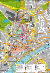
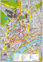
Newcastle Upon Tyne City Map
City map of Newcastle Upon Tyne with tourist information and some of Gateshead
191 miles away
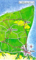
Ramsey, Isle of Man City Map
191 miles away
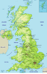
United Kingdom Physical Map
Guide to topography and physical features of Great Britain
193 miles away
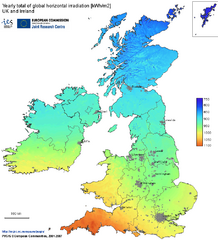
United Kingdom Solar Radiation Map
Guide to yearly total of global horizontal solar irradiation
193 miles away
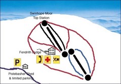
Swinhope Moor Sketch Ski Trail Map
Trail map from Swinhope Moor.
193 miles away
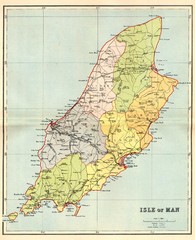
Isle of Man Map
196 miles away
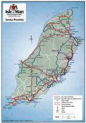
Isle of Man Transportation Map
196 miles away
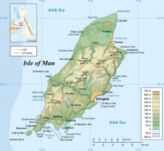
Isle of Man Topo Map
Topographical map of the Isle of Man showing roads, rail tracks, geographic features, and towns...
196 miles away
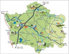
Banbridge District Tourism Map
Shows the locations of the main visitor attractions in the Banbridge District of Northern Ireland...
196 miles away
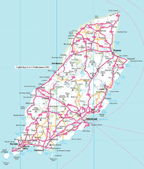
Isle of Man roads Map
197 miles away
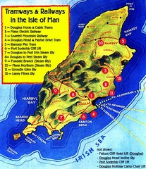
Isle of Man Railways and trams Map
199 miles away
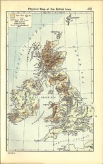
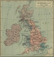
1911 British Isles Physical Map
Guide to physical features of the United Kingdom, then known as the British Isles
201 miles away
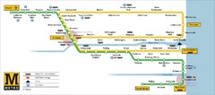
Tyne and Wear Metro Route Map
Map of metro transit routes throughout Tyne and Wear
201 miles away
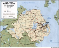
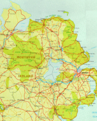
Northern Ireland Map
Map of Northern Ireland showing roads, cities, railroads and borders.
202 miles away
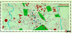
Armagh Ireland Street Map
Street Map of Armagh City, Ireland showing tourist information center, streets, churches and...
202 miles away
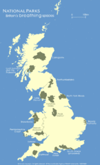
UK National Park Map
Shows locations of all national parks in the United Kingdom.
202 miles away

Owenea Fishery Map
Road Map of Owenea Fishery. Shows the location of the Owenea Fishery including all roads, towns...
212 miles away
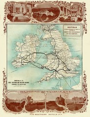
Historic United Kingdom Railroad Map
Guide to the connections of the Great Southern and Western Railways in the British Isles
212 miles away
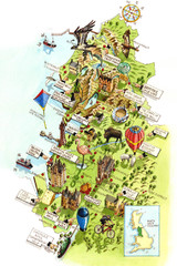
North West England Map
North West England map by Katherine Baxter
215 miles away
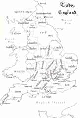
Tudor England Counties Map
Guide to the counties of England under Tudor reign
217 miles away
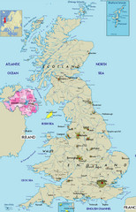
Northern Ireland Political Map
Guide to Northern Ireland and major cities in the United Kingdom
223 miles away
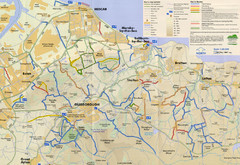
Redcar & Cleveland Horse Riding Routes Map
Horseriding route map of Redcar & Cleveland area, England shows public bridleways, public...
226 miles away
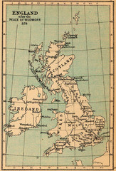
878 England Map
Guide to England after the Peace of Wedmore
228 miles away
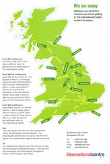
United Kingdom Map
229 miles away

Blackpool Street Map
Street map of city of Blackpool, UK.
235 miles away
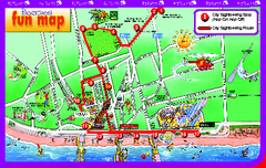
Blackpool Bus Tour Map
Blackpool Bus Tour Map - City Sightseeing
235 miles away
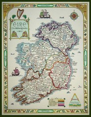
Hand-Drawn Ireland Map
Guide to Ireland and Northern Ireland, in Gaelic
237 miles away
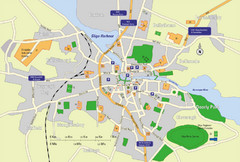
Sligo City Map
Map of Sligo with tourist information
241 miles away

