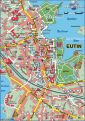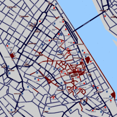
Heisingen Map
Detailed map of the city including parking, streets, and hotels.
618 miles away
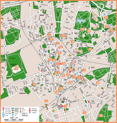
Bochum Tourist Map
Tourist map of central Bochum, Germany. Shows points of interest; numbers correspond to more info...
619 miles away
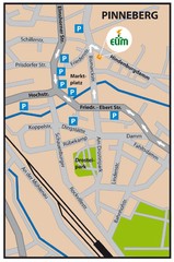
Pinneberg Center Map
Map of Pinneberg town center
619 miles away
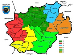
Bochum Stadtteile Map
619 miles away
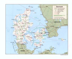
Denmark Map
Map of Denmark showing cities, roads, railroads, and Ferry routes
619 miles away
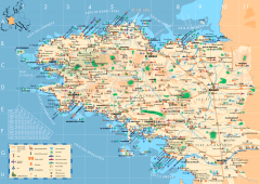
Brittany Tourist Map
Tourist map of province of Brittany in France. Shows ports, cathedrals, churches, chateaus, forts...
620 miles away

Brittany region Map
620 miles away
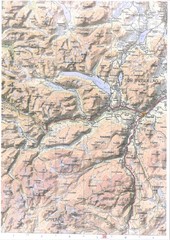
Oppdal Topo Map
Topo map of Oppdal, Norway region
620 miles away
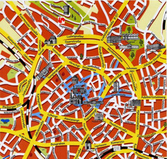
Aachen Center Map
Tourist street map of Aachen city center
620 miles away
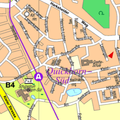
Quickborn Center Map
Street map of Quickborn town center
621 miles away
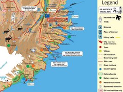
Neskaupstadur Area Tourist Map
Tourist map of eastern Iceland area near Neskaupstadur.
622 miles away
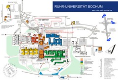
Ruhr-Universitat Campus Map
622 miles away
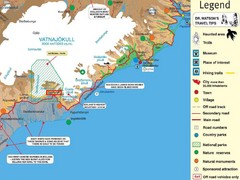
Vatnajökull National Park Map
Home of Iceland's highest mountain 2119m
622 miles away
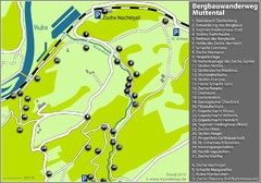
Muttental Bergbauwanderweg Map
623 miles away
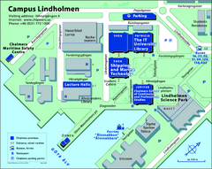
Campus Lindholmen Map
One of the two Chalmer's campuses.
624 miles away
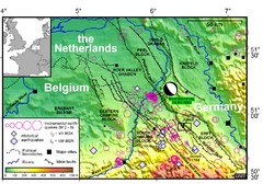
Earthquake in Lower Rhine Map
Seismotectonic map of the Lower Rhine graben system in the border area of Belgium, Germany and the...
624 miles away
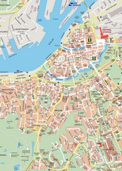
Central Gothenburg Street Map
Street map of central Gothenburg, Sweden
625 miles away
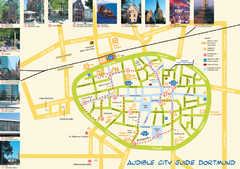
Dortmund Tourist Map
Tourist map of central Dortmund, Germany. Shows photos of points of interest along a walking audio...
625 miles away
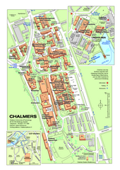
Campus Johanneberg Map
One of the two Chalmer campuses.
625 miles away
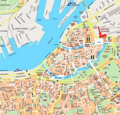
Gothenburg Tourist Map
625 miles away
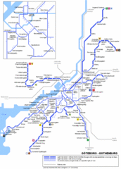
Göteborg Tram Map
Map marking rails, stops and more.
626 miles away
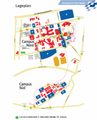
Universitat Dortumund Campus Map
627 miles away
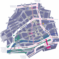
Wuppertal Elberfeld Street Map
Street map of Elberfeld in Wuppertal, Germany. In German.
628 miles away
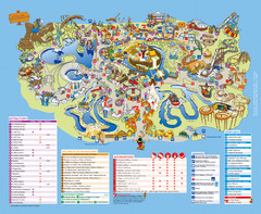
Asterix Park Map
Theme park map of Asterix Park in Paris, France
628 miles away
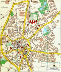
Ennirgerloh Map
Street map of Ennirgerloh
629 miles away
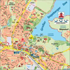
Bad Segeberg Tourist Map
Tourist street map of bad Segeberg
629 miles away
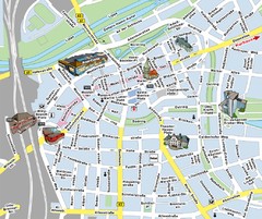
Hamm Center Tourist Map
Tourist street map of Hamm center
629 miles away
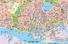
Hamburg Street Map
Street map of central Hamburg, Germany. Shows many canals.
629 miles away
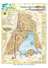
Enghien-les-Bains City Map
City map of Enghien-les-Bains, France. Located a few kilometers from Paris in the Val d’Oise...
633 miles away
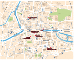
Rennes Street Map
Street map of the city center of Rennes, France. Shows building names and parking. Some points of...
633 miles away
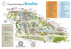
Campus Scientifique de Beaulieu Map
University of Rennes Science campus map.
633 miles away
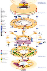
Charles de Gaulle Airport Map
635 miles away
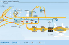
Charles de Gaulle Airport Map
635 miles away
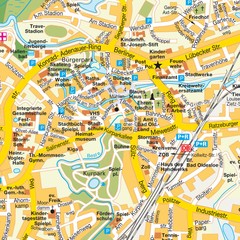
Bad Oldeshloe Map
Street map of downtown Bad Oldeshloe
635 miles away
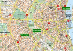
Cologne Map
Street map of Cologne, Germany. In German.
637 miles away
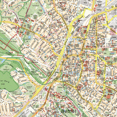
Bielefeld Street Map
Street map of central Bielefeld, Germany. Shows some points of interest.
637 miles away
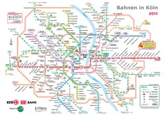
Köln, Nahverkehr Map
637 miles away
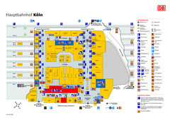
Köln HBf Map
637 miles away

Concarneau ville Map
637 miles away

