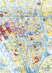
Utrecht, Netherlands Tourist Map
502 miles away
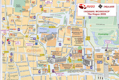
Den Haag, Netherlands Tourist Map
502 miles away
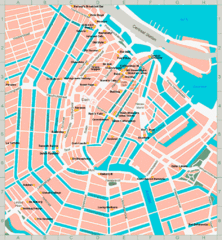
Den Haag, Netherlands Tourist Map
502 miles away
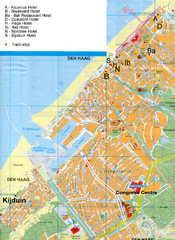
The Hague Hotel Map
Hotel map of The Hague, Netherlands. Shows tram stops. Congress centre highlighted.
502 miles away
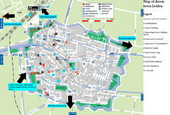
Leiden Tourist Map
Tourist map of downtown Leiden, The Netherlands. Shows some hotels and other points of interest.
503 miles away
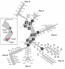
Amsterdam Airport Schipol Map
504 miles away
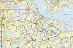
Amsterdam Map
Street map of Amsterdam, Netherlands.
505 miles away
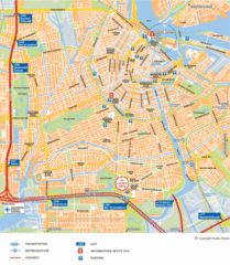
Amsterdam Tourist Map
505 miles away
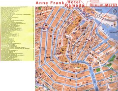
Amsterdam Tourist Map
505 miles away
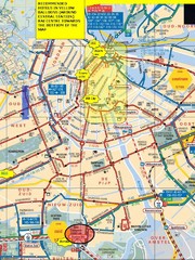
Amsterdam Hotel Map
505 miles away
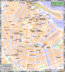
Amsterdam Coffee Shops Map
505 miles away
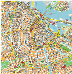
Amsterdam City Tourist Map
505 miles away
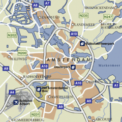
Amsterdam Airport Tourist Map
505 miles away
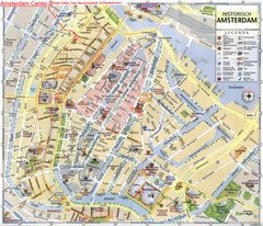
Amsterdam City Tourist Map
505 miles away
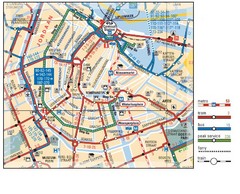
Amsterdam Transit Map
505 miles away
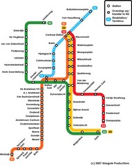
Amsterdam Metro Map
505 miles away
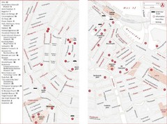
Amsterdam Tourist Map
Main attractions for sightseers in Amsterdam
505 miles away
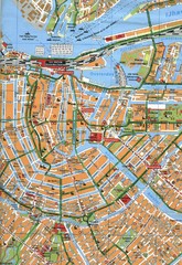
Amsterdam Center Map
505 miles away

Hardangervidda National Park Route Map
Route map of Hardangervidda National Park Route which runs across east and west Norway
505 miles away
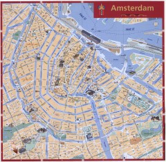
Amsterdam Tourist map
Shows major tourist points of interest. Scanned.
505 miles away
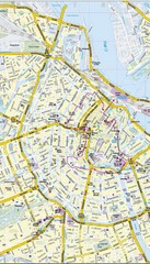
Amsterdam Central City Map
City map of Amsterdam Central
505 miles away
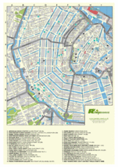
Amsterdam Map
Guide to cannabis cafes in Amsterdam
505 miles away
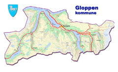
Gloppen Town Map
Topo map of Gloppen, Norway
505 miles away
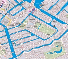
Waterlooplein, Plantage and Oosterpark Tourist Map
Waterlooplein, Plantage and Oosterpark neighborhoods in Amsterdam
505 miles away
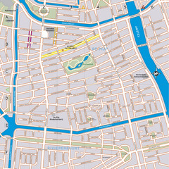
De Pijp Neighborhood Map
De Pijp neighborhood in Amsterdam map
505 miles away
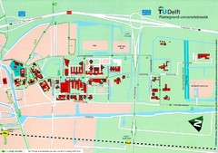
Delft University of Technology Map
507 miles away
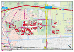
Delft University of Technology Campus Map
508 miles away
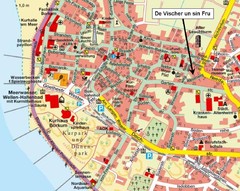
Borkum Street Map
Street map of town of Borkum
511 miles away
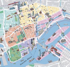
Rotterdam Tourist Map
Tourist map of Rotterdam, Netherlands. Largest port in Europe.
515 miles away
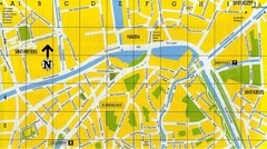
North Bruges Map
Map of northern part of Bruges city
518 miles away
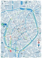
Brugge Tourist Map
Tourist map of Brugges, Belgium. Shows buildings and streets.
519 miles away
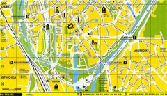
South Bruges Map
Map of the southern part of Bruges city
519 miles away
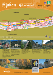
Rjukan Walking Map
Walk route map in Rjukan, Norway. Shows natural and cultural history and photos.
521 miles away
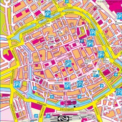
Groningen City Map
City map of central Groningen, The Netherlands. Some hotels highlighted.
521 miles away
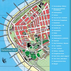
Norderney Tourist Map
Tourist street map of Norderney
523 miles away
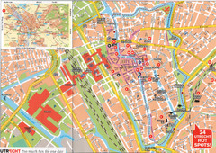
Utrecht Map
525 miles away
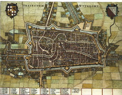
Historic map of Utrecht in 1652
525 miles away
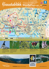
Skipsfjellet Hiking Map
Hiking trail map of Skipsfjell, Norway near Rjukan, Norway. Shows moderate 2 hour loop hike and...
526 miles away
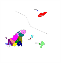
Guernsey Parish Map
Guide to the parishes of Guernsey, a British Crown Dependency in the English Channel
529 miles away
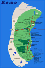
Romo Island Tourist Map
530 miles away

