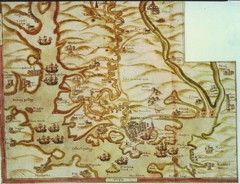
Plymouth Map 1500s
Map of Plymouth, England area in late 1500s
463 miles away
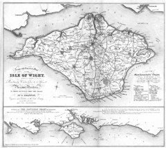
Isle of Wight Map
463 miles away
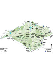
Isle of Wight Map
463 miles away
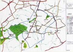
Hoath Town Map
Handwritten map of town of Hoath, England near Canterbury.
464 miles away
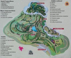
2000-2004 Eden Project Map
Guide to largest greenhouse in the world, the Eden Project
464 miles away
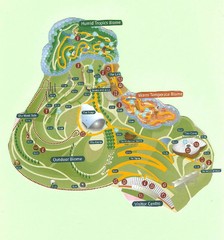
2006 Eden Project Map
Guide to the largest greenhouse in the world, built inside of an old quarry
464 miles away
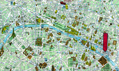
Paris, France Tourist Map
465 miles away
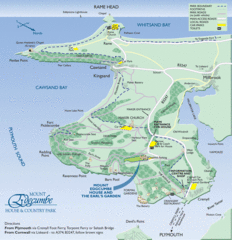
Mount Edcumbe Tourist Map
465 miles away
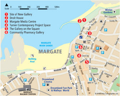
Margate Tourist Map
Tourist map of Margate, England.
465 miles away
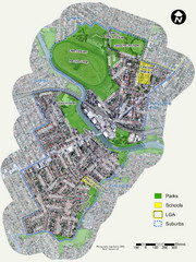
Canterbury Map
Map of parks, main streets, etc.
466 miles away
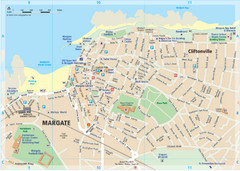
Margate TouristMap Map
466 miles away
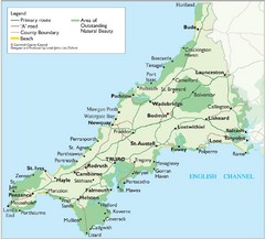
Cornwall Map
Map of Cornwall with detail of towns and cities
467 miles away

Thanet Isle Map
1809 Guide to Thanet Isle in Britain
467 miles away

Broadstairs Tourist Map
468 miles away
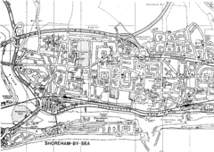
Shoreham-by-Sea, England City Map
468 miles away
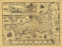
Old Maps: Cornwall Map
Map of Cornwall from The Theatre and Empire of Great Britain
469 miles away
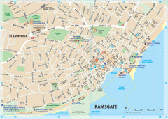
Ramsgate Tourist Map
Near Kent, England
469 miles away
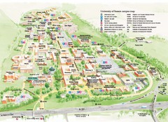
University of Sussex Campus Map
Official campus map of University of Sussex. Shows campus buildings and points of interest.
470 miles away
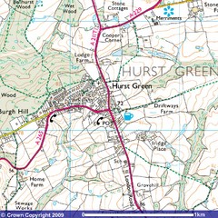
Hurst Green, England City Map
470 miles away
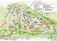
University of Sussex Campus Map
470 miles away
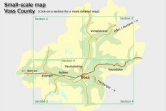
Voss County, Norway Region Map
470 miles away
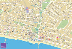
Brighton Tourist Map
Street map of Brighton, UK. Shows gay points of interest.
471 miles away
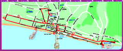
Brighton bus tour map
Brighton bus tour map - City Sightseeing
472 miles away
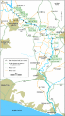
East Sussex, England City Map
472 miles away
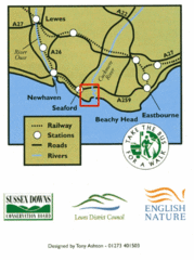
East Sussex, England Bus System Route Map
472 miles away
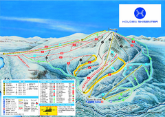
Hovden Skisenter Ski Trail Map
Ski trail map of Hovden Skisenter, Hovden, Norway.
473 miles away
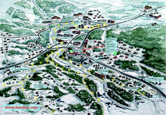
Hovden Town Map
Village map of Hovden, Norway. Panoramic view shows tourist buildings and lighted cross country...
473 miles away
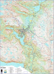
Hovden Norway Trail Map
Hovden has a total of 170 km cross-country skiing trails
474 miles away

St Ives Cornwall Tourist Map
A large, detailed map of St. Ives. Marked with street names and many of the basic services such as...
475 miles away
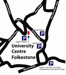
University Centre at Folkestone Map
480 miles away
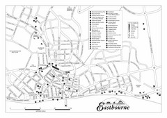
Eastbourne England Tourist Map
Central Eastbourne, England street level tourist map showing tourist sites, parks and city...
482 miles away

Europe Political Map
483 miles away
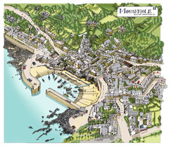
Mousehole map
Map of Mousehole. Aerial map of Mousehole, Cornwall.
484 miles away
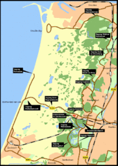
Nationaal Park Zuid-Kennemerland Map
Park overview map of Zuid-Kennemerland National Park (NPZK), Netherlands
492 miles away
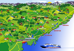
Kristiansand Area Coast Map
Stylized map shows major towns on and near coast near Kristiansand, Norway. Shows Kristiansand...
494 miles away
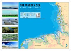
Wadden Sea Map
Map of Wadden Sea area and trilateral conservation area. Consists of lands and waters in The...
495 miles away
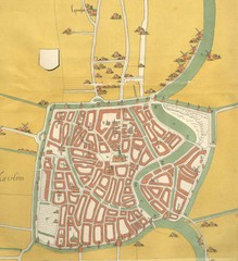
Haarlem City Map
Haarlem city center map from 1550
496 miles away
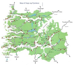
Sogn og Fjordane Region Map
Map of the Sognefjorden, Norway region
499 miles away
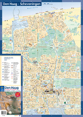
The Hague Tourist Map
Tourist map of The Hague, Netherlands. Shows points of interest.
501 miles away

