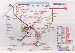
St. Georges Hospital Bus Services Map
432 miles away
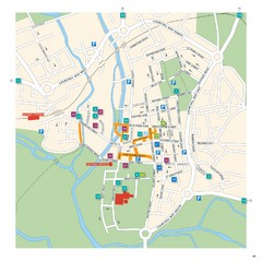
Salisbury Tourist Map
Tourist map of central Salisbury, UK. Shows parking and key for points of interest.
433 miles away
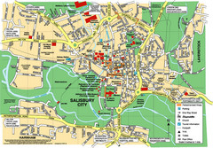
Salisbury City Map
Map of Salisbury City
433 miles away
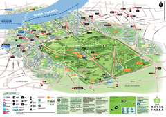
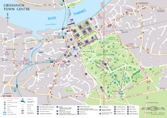
Greenwich Park Map
433 miles away
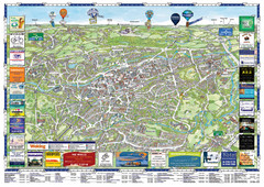
Woking Tourist Map
Tourist map of Woking, Surrey, England. Oblique/3D town map with ads.
433 miles away
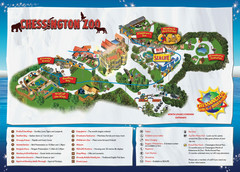
Chessington Zoo Map
435 miles away
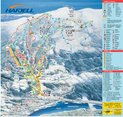
Hafjell Ski Trail Map
Trail map from Hafjell.
435 miles away
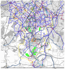
Cheam Bus Route Map
Olympic Bid 2016 - Bus Route Map
436 miles away
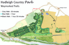
Hadleigh Country Park Map
3 walks, each color coded according to the estimated time it would take to complete each trek...
439 miles away
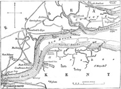
River Thames Map
Map of Thames from Gravesend to Canvey Island
441 miles away
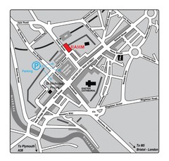
Royal Albert Memorial Museum Location Map
442 miles away
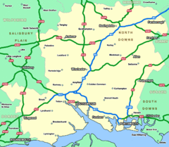
Southhampton Area Hotel Map
442 miles away
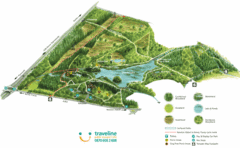
Stover Country Park Map
443 miles away
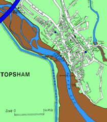
Topsham Street Map
445 miles away
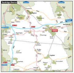
Tandridge District, England Region Map
446 miles away
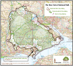
The New Forest National Park Map
Nice map with clear park boundaries.
447 miles away
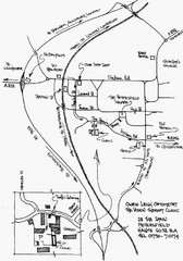
Petersfield, London Map
448 miles away
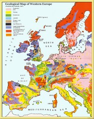
Western Europe Geology Map
Geological map of Western Europe. Modified after Kirkaldy 1967.
448 miles away
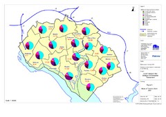
Methods of Travel in Southampton, UK Map
The methods of travel used by workers in Southampton
448 miles away
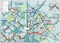
Southampton Public Transport Map
Public transport map of Southampton, England
448 miles away
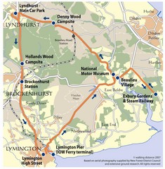
New Forest Bus Tour Map
448 miles away
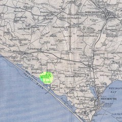
Dorchester, England Region Map
449 miles away
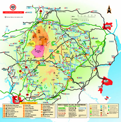
Dartmoor National Park Map
Official visitor map of Dartmoor National Park, England. Shows elevation and visitor attactions.
451 miles away
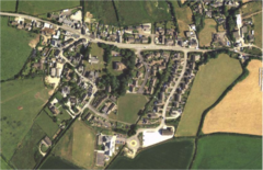
St Issey in Bloom Map
454 miles away

Bournemouth bus tour map
Bournemouth bus tour map - City Sightseeing
455 miles away

Disabled Accessible Places in Maidstone, Kent Map
A guide to places in Maidstone that are wheelchair accessible.
455 miles away
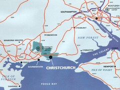
Christchurch, England Region Map
455 miles away
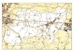
Capel Footpaths Map
Map of Footpaths in Capel Parish
456 miles away
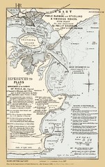
1857 Poole Harbor Map
Guide to the peninsula and improvements in the Harbor
456 miles away
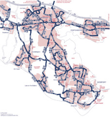
Fareham Busmap Map
Bus map of Portchester, Gosport and Fareham routes.
457 miles away
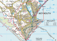
Weymouth, England Region Map
457 miles away
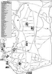
Portsmouth and Southsea Tourist Map
Tourist map of "where to go" in Portsmouth and Southsea, England. Includes photos of...
460 miles away
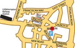
Museums in West Sussex, England Map
460 miles away
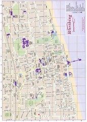
West Sussex, England Map
460 miles away
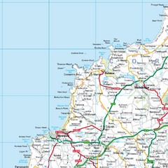
Cornwall Coast Map
Map of coast cities in Cornwall
460 miles away
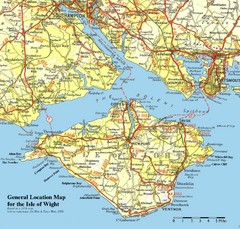
Isle of Wight Map
Based on 1950's map with no motorways
461 miles away
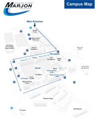
University College Plymouth Map
University College Plymouth St Mark & St John Derriford Road, Plymouth, Devon PL6 8BH
461 miles away
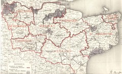
Kent, England County Map
462 miles away

South Hams England Map
Map of South Hams, England showing cities,parks, major roads and railways.
462 miles away

