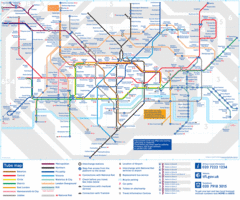
London, England Underground Map
429 miles away
London Tube Map
429 miles away
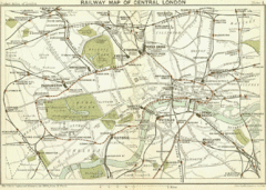
1899 London Railway Map
429 miles away
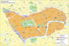
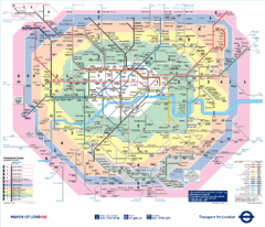
London Congestion Zone Map
429 miles away
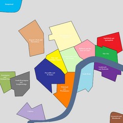
London Attraction and Tourist Map
The main attractions for sightseers in London
429 miles away
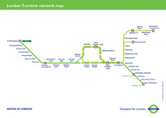
Tramlink Network Map
429 miles away
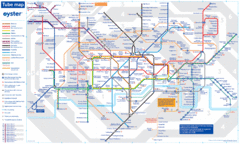
London Tube Map
429 miles away
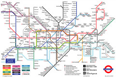
London Underground Transportation Map
The tube/subway in London
429 miles away
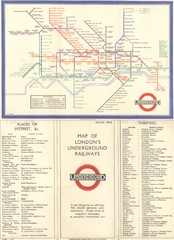
London Railway Map
429 miles away
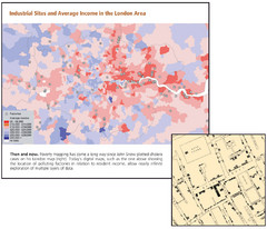
London Income and Industrial Plants Map
Map shows correllation between income and location of industrial sites. Cholera map is also...
429 miles away
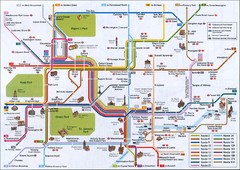
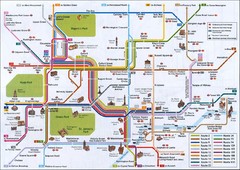
London Tourist Map
Tourist map of London, England showing key bus routes and tourist attractions.
429 miles away
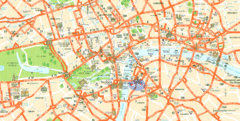
London Tourist Map
Tourist Map of London showing street level detail with tourist attractions marked.
429 miles away
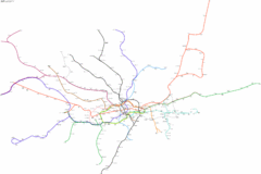
Geographically Correct London Underground Map
429 miles away
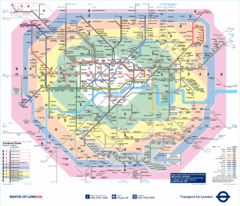
London Underground Tube Map
429 miles away
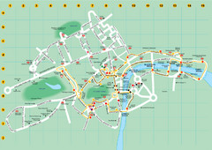
Ensignbus Sightseeing Bus Route Example Map
An example of one of many possible sightseeing routes from Ensignbus tours in London.
429 miles away
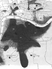
Mr. Grainger's "Cholera Map of the...
There were four districts south of the River Thames that might have interested Snow-#25, St...
429 miles away
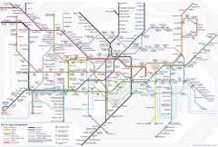
Tube Map
Map of London's Tube transportation lines and stops
429 miles away
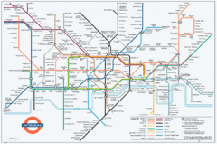
Untergrund Map
Comedic London Underground Tube map showing what it would look like if England had lost the war.
429 miles away
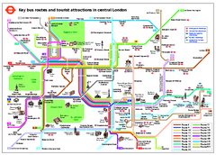
Central London Tourist and Bus map
Current Map showing all London Attractions and Bus transportation Route.
429 miles away
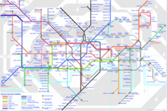
London Underground Map
London Underground map with all zones
429 miles away

River Thames Map
River Thames Map, illustrated by Katherine Baxter for the Runnymede-on-Thames Hotel as a 8 metre...
429 miles away
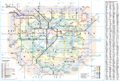
London Underground Map
429 miles away
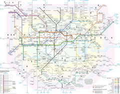
London Tube Map
429 miles away
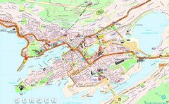
Bergen Tourist Map
Tourist map of central Bergen, Norway. Shows major buildings.
429 miles away
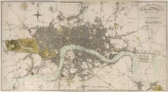
London Map 1807
1807 "London in miniature" map. Scanned.
429 miles away
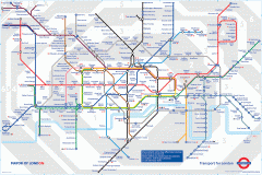
London Underground Map
Official map of the London Underground. An evolution of the original design conceived in 1931 by...
429 miles away
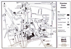
Tiverton Town Center Map
Black and white map shows major streets in Tiverton, Devon.
429 miles away
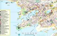
Bergen, Norway Tourist Map
430 miles away
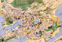
Bergen, Norway City Map
430 miles away
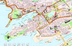
Bergen Guide Map
430 miles away
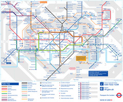
London Tube Map
430 miles away
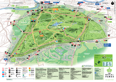
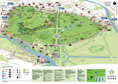
Richmond Park Map
430 miles away
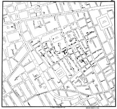
Cholera Outbreak of London Map
Map used to analyze the cholera outbreak in London, specifically South Hampton in 1853
430 miles away
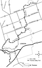
Thames Valley Trail Map
430 miles away
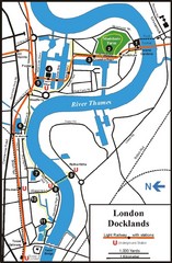
London Docklands Tourist Map
431 miles away
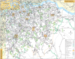
Southeast London Bus Map
431 miles away
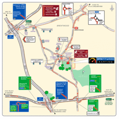
Brentwood, Essex Map
431 miles away
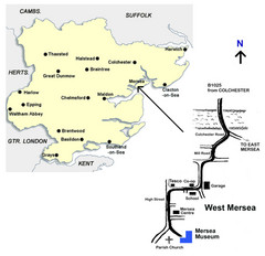
West Mersea Island Museum Map
432 miles away

