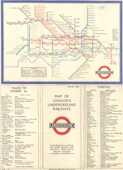
London Railway Map
216 miles away
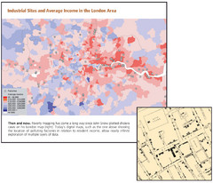
London Income and Industrial Plants Map
Map shows correllation between income and location of industrial sites. Cholera map is also...
216 miles away
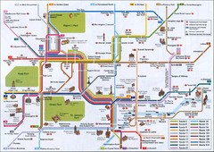
London Tourist Map
Tourist map of London, England showing key bus routes and tourist attractions.
216 miles away
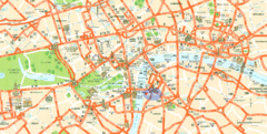
London Tourist Map
Tourist Map of London showing street level detail with tourist attractions marked.
216 miles away
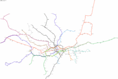
Geographically Correct London Underground Map
216 miles away
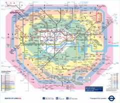
London Underground Tube Map
216 miles away
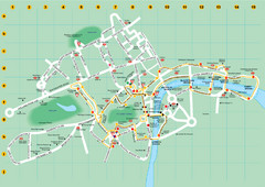
Ensignbus Sightseeing Bus Route Example Map
An example of one of many possible sightseeing routes from Ensignbus tours in London.
216 miles away
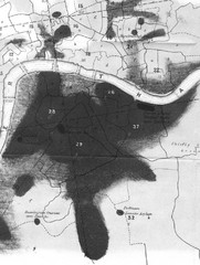
Mr. Grainger's "Cholera Map of the...
There were four districts south of the River Thames that might have interested Snow-#25, St...
216 miles away
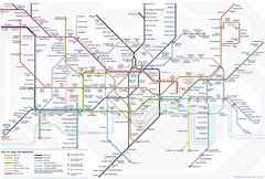
Tube Map
Map of London's Tube transportation lines and stops
216 miles away
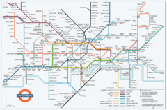
Untergrund Map
Comedic London Underground Tube map showing what it would look like if England had lost the war.
216 miles away
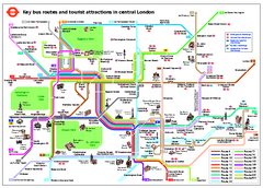
Central London Tourist and Bus map
Current Map showing all London Attractions and Bus transportation Route.
216 miles away
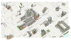
Map of London Covent Garden
Map of Covent Garden London
216 miles away
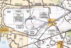
Heathrow Airport Transportation Map
216 miles away
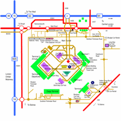
Heathrow Airport Map
216 miles away
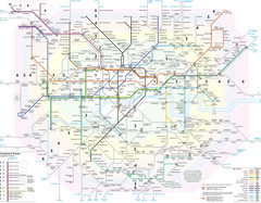
London Tube Map
216 miles away
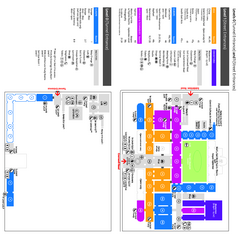
The Victoria & Albert Museum Floor plan Map
Map of The Victoria & Albert Museum in London. Shows entrances and exhibits.
216 miles away
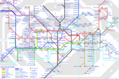
London Underground Map
London Underground map with all zones
216 miles away
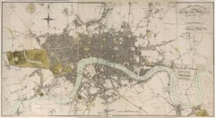
London Map 1807
1807 "London in miniature" map. Scanned.
216 miles away
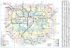
London Underground Map
216 miles away
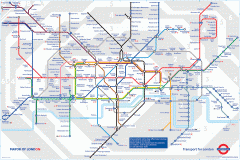
London Underground Map
Official map of the London Underground. An evolution of the original design conceived in 1931 by...
216 miles away
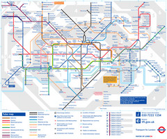
London Tube Map
216 miles away
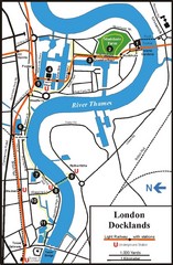
London Docklands Tourist Map
217 miles away
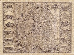
Old Maps - Wales Map
Includes illustrations of individual Welsh county towns.
217 miles away

River Thames Map
River Thames Map, illustrated by Katherine Baxter for the Runnymede-on-Thames Hotel as a 8 metre...
217 miles away
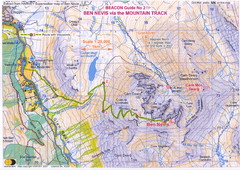
Ben Nevis Trail map
Map of the mountain track to the summit of Ben Nevis, the highest mountain in Scotland and the...
218 miles away
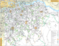
Southeast London Bus Map
218 miles away
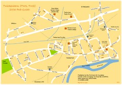
Twickenham Pub Guide Map
Map of TW1 & TW2 area
218 miles away
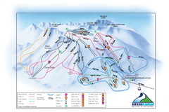
Nevis Range Ski Trail Map
Trail map from Nevis Range.
218 miles away
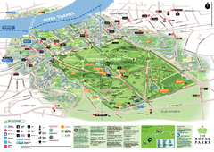
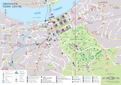
Greenwich Park Map
219 miles away
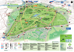
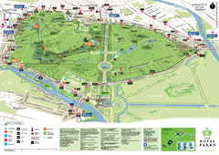
Richmond Park Map
219 miles away
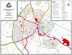
Chippenham Town Map
219 miles away
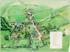
Avebury Tourist Map
Tourist map of Avebury, England. Shows Avebury Henge. From photo.
220 miles away
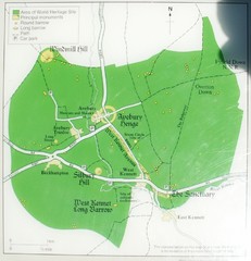
Avebury World Heritage Site Map
Map of Avebury, England showing World Heritage Site and surroundings. From photo.
220 miles away
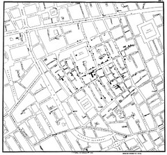
Cholera Outbreak of London Map
Map used to analyze the cholera outbreak in London, specifically South Hampton in 1853
220 miles away
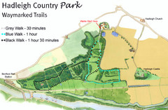
Hadleigh Country Park Map
3 walks, each color coded according to the estimated time it would take to complete each trek...
220 miles away
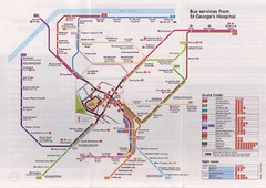
St. Georges Hospital Bus Services Map
220 miles away
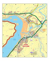
Fort William, Scotland Map
Map shows Fort William including all streets, train tracks, rivers, and streams.
221 miles away
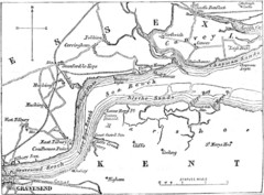
River Thames Map
Map of Thames from Gravesend to Canvey Island
223 miles away

