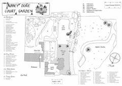
Abbey Dore Court Garden Map
195 miles away
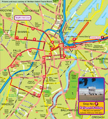
Belfast Bus Tour Map
195 miles away
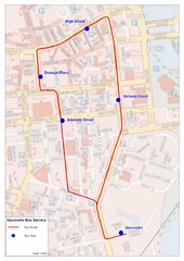
Gasworks/Belfast city centre shuttle Bus Map
Shuttle Bus service map between the Gasworks Estate and Belfast city centre.
195 miles away
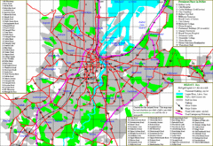
Belfast Map
195 miles away
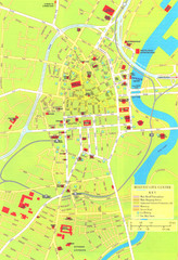
Belfast Tourist Map
Tourist map of center of Belfast, Northern Ireland, UK. Major buildings highlighted.
195 miles away
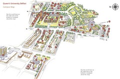
Queen's University Belfast Map
Guide to campus and botanical gardens
195 miles away
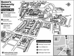
Queen's University Belfast Campus Map
Campus map of Queen's University Belfast in Belfast, Northern Ireland
195 miles away
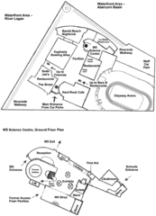
Odyssey Complex Public Service Attraction Visitor...
Odyssey complex site map, displaying the locations of all attractions, restaurants, stores...
195 miles away
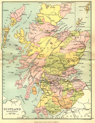
Scotland Counties Map
Map of Scotland and its counties
195 miles away
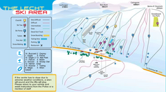
The Lecht Ski Trail Map
Trail map from The Lecht.
197 miles away

Wallace Park Map
200 miles away
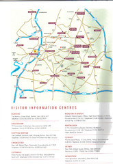
Cotswold England Tourist Map
The Cotswolds are situated in the Heart of England less than 2 Hours Drive from London. Map shows...
201 miles away
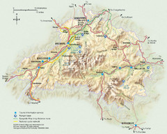
Cairngorms National Park Map
This map shows the boundaries of the Cairngorms National Park, which stretch from Grantown on Spey...
203 miles away
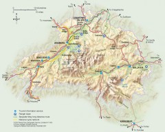
Cairngorms National Park Map
Official map of Cairngorms National Park, Britain's largest National Park at 3800 sq km. 4 of...
203 miles away
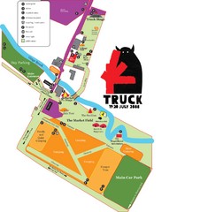
Steventon, South Oxfordshire Tourist Map
204 miles away
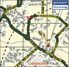
Chelmsford Map
206 miles away
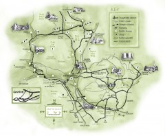
Abergavenny Cycle Map
Shows suggested easy cycling routes, other roads, steeper climbs, parking, public houses, shops...
206 miles away
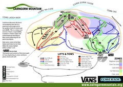
Cairn Gorm Ski Trail Map
Trail map from Cairn Gorm.
208 miles away
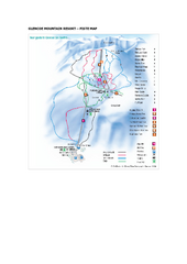
Glen Coe Ski Trail Map
Trail map from Glen Coe.
208 miles away
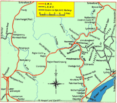
Monmouth and Wye Valley Railways Map
Map showing the 3 major railway lines and the cities with stops of Monmouth, UK.
209 miles away
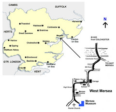
West Mersea Island Museum Map
209 miles away
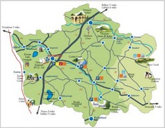
Banbridge District Tourism Map
Shows the locations of the main visitor attractions in the Banbridge District of Northern Ireland...
210 miles away
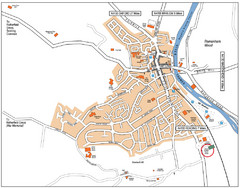
Henley-on-Thames Map
210 miles away
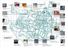
Huntly Town Collection Map
Visual public art in Huntly, Scotland. With photos. From site: "Artists working with Deveron...
210 miles away
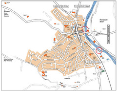
Henley-on-thames Map
Visitor Map of Henley-on-thames. Map shows location of most main roads, buildings, and parking.
210 miles away
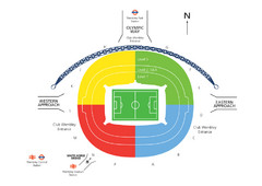
UK Wembley Stadium Map
211 miles away
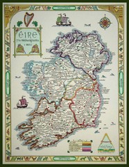
Hand-Drawn Ireland Map
Guide to Ireland and Northern Ireland, in Gaelic
212 miles away
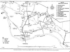
Whitchurch on Thames Walking Map
Guide to 12 walks around Whitchurch on Thames, UK
213 miles away
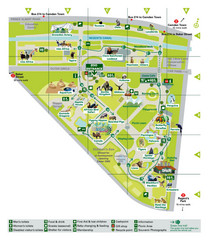
London Zoo Map
213 miles away
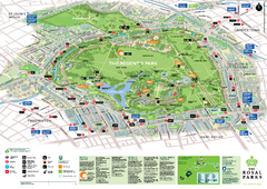
Regent's Park Map
Birds-eye view of the Regent's Park in London
214 miles away
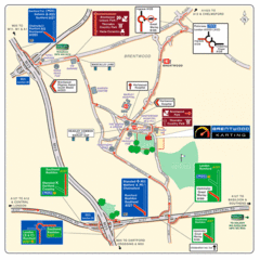
Brentwood, Essex Map
214 miles away
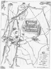
Twyford Parish Map
Footpaths and bridleways map of Twyford Parish
214 miles away
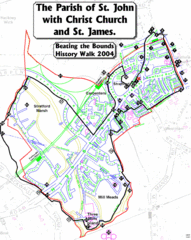
The Parish of St. John's with Christ Church...
A rough history of the Stratford, England and a continuation of the age old tradition of "...
214 miles away
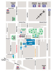
Great Ormond Street Hospital for Children Map
Great Ormond Street Hospital for Children NHS Trust (GOSH)
214 miles away
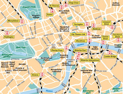
London Bahnhöfe Map
214 miles away
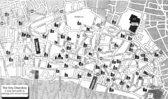
London Church Map
Map of the City of London showing 47 churches and 9 Towers
215 miles away
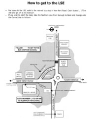
London School of Economics Bus Stop Map
How to get to the London School of Economics.
215 miles away
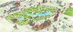
London Hyde Park map
Map of London, showing Hyde park.
215 miles away
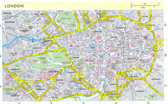
London City Map
City map of London with information and parking locations
215 miles away


