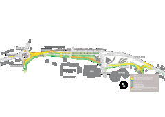
Bawtry Road Bus Lane Map
72 miles away
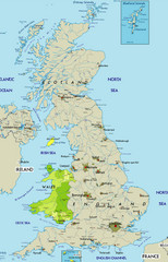
Wales Map
Guide to Wales and major cities in the United Kingdom
75 miles away

Schematic UK Postcode Map
Shows all postcode areas in the United Kingdom in shape of UK with London extracted.
75 miles away
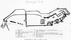
Bamburgh Castle Map
76 miles away
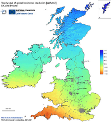
United Kingdom Solar Radiation Map
Guide to yearly total of global horizontal solar irradiation
77 miles away

Rossendale Hospital Map
Campus map of hospital
78 miles away
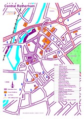
Central Rotherham Map
80 miles away
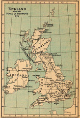
878 England Map
Guide to England after the Peace of Wedmore
80 miles away
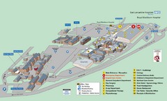
Royal Blackburn Hospital Map
Maps of Royal Blackburn
81 miles away
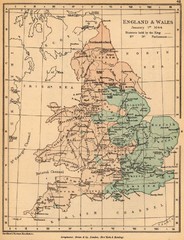
1644 England and Wales Political Map
Map showing districts held by teh King versus the Parliament during the Puritan Revolution
81 miles away
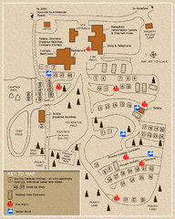
Castle Rigg Park Map
82 miles away
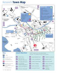
Keswick Town Map
Map of Keswick with Christian locations identified
83 miles away
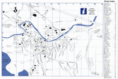
Keswick Tourist Map
Tourist map of Keswick, England. Shows all points of interest and has a street index.
83 miles away
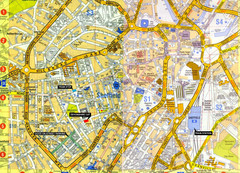
Sheffield City Center Map
84 miles away
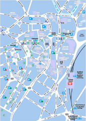
Sheffield City Map
City centre map of Sheffield, England. Shows parking, ATMs, and other points of interest.
84 miles away
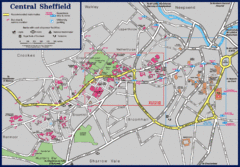
Central Sheffield Map
Map shows central Sheffield, England area. Bus stops and University of Sheffield parking areas...
84 miles away
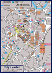
Sheffield Tourist Map
Tourist map of the city center of Sheffield, England.
84 miles away
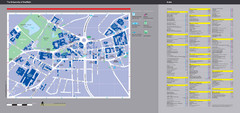
University of Sheffield Map
Campus map
84 miles away
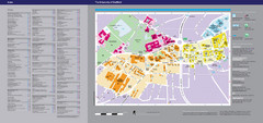
The University of Sheffield Reference Map
The University of Sheffield, United Kingdom
84 miles away
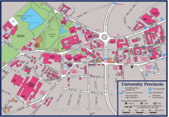
University of Sheffield Map
Campus map of the University of Sheffield in Sheffield, England. Shows parking, bus stops, and...
84 miles away
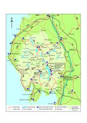
Lake District National Park Map
Detailed map marking the roads and boundaries of on of Britain's National Parks.
84 miles away

England Tourist Map
Cities and countries in England
86 miles away
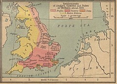
600 British Settlement Map
Map of settlements of Angels, Saxons, Jutes and Native Britons in 600
87 miles away
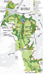
Cuerden Valley Park Map
87 miles away
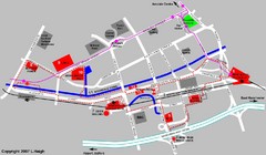
Manchester Map
89 miles away
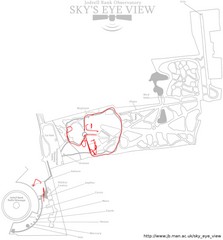
Jodrell Bank Observatory Map
Map of the Jodrell Bank Observatory. Shows location of parking lot, layout of the observatory...
89 miles away
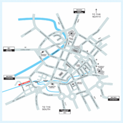
Manchester Overview Map
89 miles away
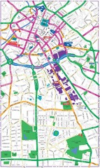
Manchester Map
89 miles away
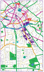
Manchester Tourist Map
Tourist map of Manchester, UK. Shows points of interest.
89 miles away
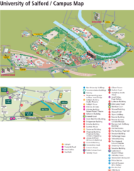
University of Salford Map
89 miles away
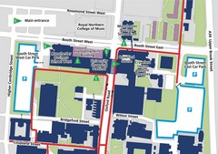
Manchester Business School Map
Map of Machester Business School at University of Manchester
90 miles away
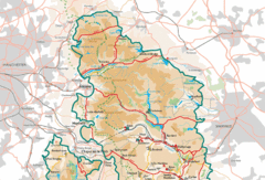
Peak District National Park Map
National Park map.
90 miles away
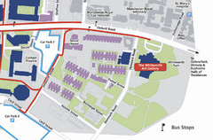
University of Manchester Map
Map of the University of Manchester with the Whitworth Art Gallery highlighted.
90 miles away
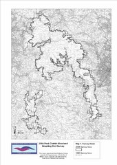
Bird Survey Map
Map of survey areas in the Peak District Moorland. Shows survey areas of 1990 and 2004.
91 miles away

Areas Surrounding Bakewell, UK Map
Cities and areas around Bakewell, United Kingdom
93 miles away
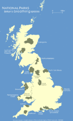
UK National Park Map
Shows locations of all national parks in the United Kingdom.
94 miles away
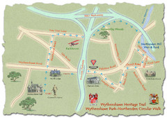
Wythenshawe Heritage Trail map
Northenden Circular Walk trail at Wythenshawe Park.
94 miles away
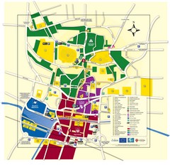
Lincoln Tourist Map
Tourist map of Lincoln, England. Shows points of interest.
95 miles away

Blackpool Street Map
Street map of city of Blackpool, UK.
95 miles away
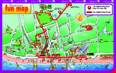
Blackpool Bus Tour Map
Blackpool Bus Tour Map - City Sightseeing
96 miles away

