Isle of Bute Guide Map
233 miles away
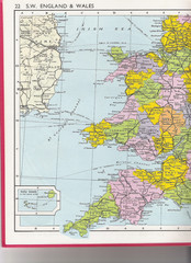
Wales Political Map
Map of Wales and southwest England
233 miles away
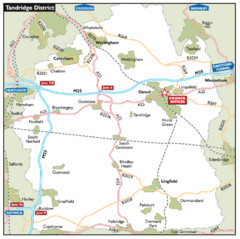
Tandridge District, England Region Map
234 miles away
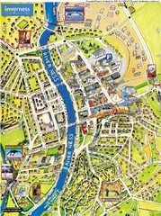
Inverness City Map
Pictorial map of Inverness
235 miles away
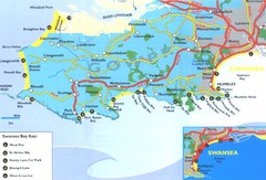
Swansea Area Tourist Map
236 miles away
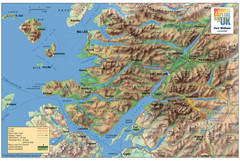
Fort William Area Shaded Relief Map
Shaded relief map of the Fort William, Lochaber, Scotland area. Shows roads, peaks, and vegetation...
236 miles away
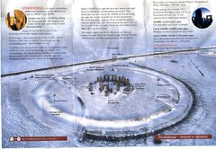
Stonehenge Brochure Map
Scan of official brochure of Stonehenge.
237 miles away
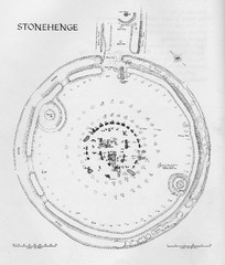
Stonehenge Map
Hand drawn map of Stonehenge showing stone circle and surrounding area
237 miles away

Disabled Accessible Places in Maidstone, Kent Map
A guide to places in Maidstone that are wheelchair accessible.
237 miles away
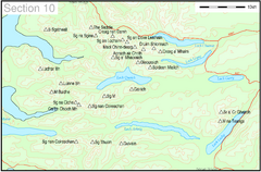
Munro Colour Contour Map Sec10
The list of hills and the grid references are from Wikipedia. The coastline is derived from data...
239 miles away
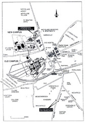
Maynooth Housing and Accommodation Map
Shows housing estates and accommodations in Maynooth, Ireland, home of the National University of...
239 miles away
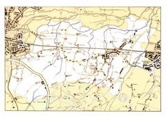
Capel Footpaths Map
Map of Footpaths in Capel Parish
240 miles away
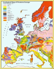
Western Europe Geology Map
Geological map of Western Europe. Modified after Kirkaldy 1967.
241 miles away
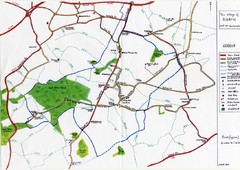
Hoath Town Map
Handwritten map of town of Hoath, England near Canterbury.
242 miles away
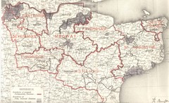
Kent, England County Map
242 miles away
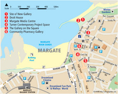
Margate Tourist Map
Tourist map of Margate, England.
242 miles away
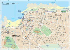
Margate TouristMap Map
243 miles away
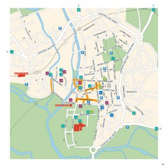
Salisbury Tourist Map
Tourist map of central Salisbury, UK. Shows parking and key for points of interest.
244 miles away
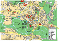
Salisbury City Map
Map of Salisbury City
244 miles away
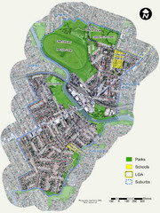
Canterbury Map
Map of parks, main streets, etc.
245 miles away

Thanet Isle Map
1809 Guide to Thanet Isle in Britain
245 miles away

Broadstairs Tourist Map
245 miles away
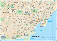
Ramsgate Tourist Map
Near Kent, England
246 miles away
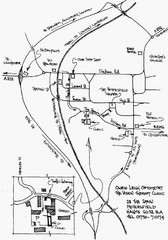
Petersfield, London Map
246 miles away
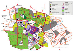
2008 Glastonbury Festival Guide Map
246 miles away
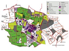
Glastonbury, England Festival Park Map
The park layout in Glastonbury, England
246 miles away
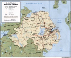
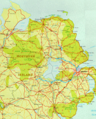
Northern Ireland Map
Map of Northern Ireland showing roads, cities, railroads and borders.
250 miles away
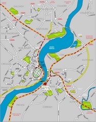
Londonderry Map
251 miles away
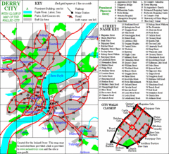
Derry/Londonderry Map
251 miles away
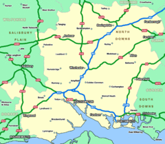
Southhampton Area Hotel Map
252 miles away
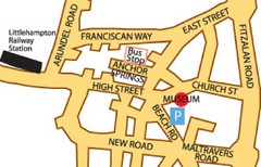
Museums in West Sussex, England Map
253 miles away
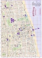
West Sussex, England Map
253 miles away
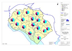
Methods of Travel in Southampton, UK Map
The methods of travel used by workers in Southampton
254 miles away
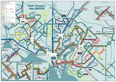
Southampton Public Transport Map
Public transport map of Southampton, England
254 miles away
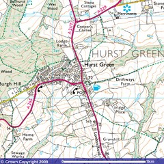
Hurst Green, England City Map
254 miles away
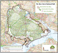
The New Forest National Park Map
Nice map with clear park boundaries.
256 miles away
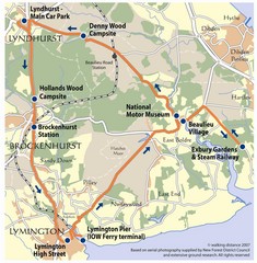
New Forest Bus Tour Map
257 miles away
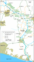
East Sussex, England City Map
258 miles away
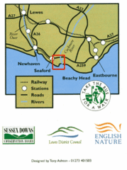
East Sussex, England Bus System Route Map
258 miles away

