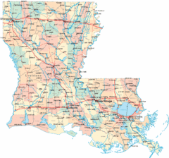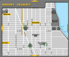
Gramercy Hotel Map
294 miles away
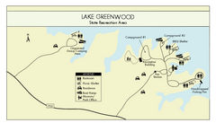
Lake Greenwood State Park Map
Clearly marked state park map on a beautiful waterfront.
295 miles away

The Reserve Shaded Relief Map
This map is a shaded relief property map of The Reserve in North Carolina with survey boundaries...
296 miles away
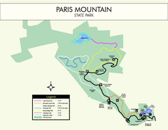
Paris Mountain State Park Map
Clearly labeled map of this beautiful state park.
297 miles away
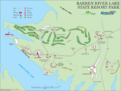
Barren River Lake State Resort Park Map
Map of facilities and golf course in Barren River Lake State Resort Park.
298 miles away
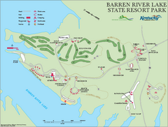
Barren River State Park map
Recreation map for Barren River Lake State Park in Kentucky
298 miles away
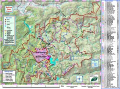
DuPont State Forest Trail map
Trail map of DuPont State Forest. Shows all trails with mileages. From dupontforest.com: "...
299 miles away
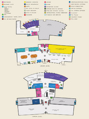
Arkansas International Airport Map
300 miles away
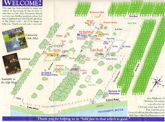
Oak Alley Plantation Map
Visitor's map of Oak Alley Plantation in Vacherie, Louisiana. Scan from old brochure.
300 miles away
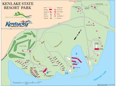
KenLake State Resort Park Map
Map of trails, facilities, and golf course for the KenLake State Resort Park located on the mid...
302 miles away
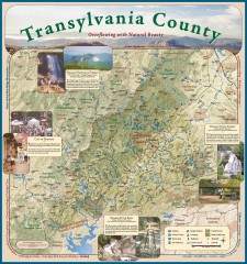
Transylvania County Tourism Development Map
Transylvania County tourist map, showing all points of interest including hiking and picnic areas.
302 miles away
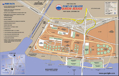
Port of Baton Rouge, Louisiana Tourist Map
302 miles away
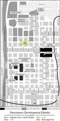
Downtown Baton Rouge, Louisiana Tourist Map
302 miles away
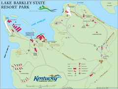
Lake Barkley State Resort Park Map
Map of the trails and facilities of Lake Barkley State Resort Park.
303 miles away
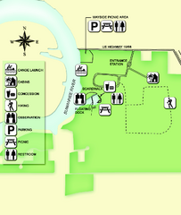
Fanning Springs State Park Map
Map of park with detail of trails and recreation zones
303 miles away
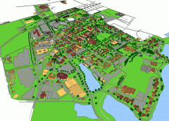
Louisiana State University Map
Louisiana State University Campus Map. All buildings shown.
304 miles away
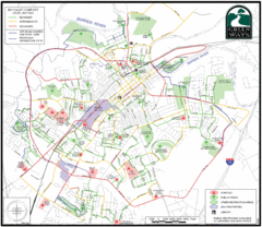
Bowling Green Biking Map
Map of biking trails in the city of Bowling Green area. Includes all streets, parks, some buildings...
304 miles away
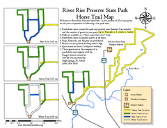
River Rise Preserve State Park Horse Trail Map
Map of horse trails throughout preserve
304 miles away
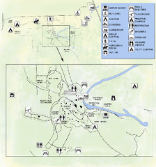
OLeno State Park Map
Map of park with detail of trails and recreation zones
304 miles away
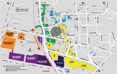
LSU Stadium and Parking Map
Guide to Louisiana State University Stadium and Parking
305 miles away
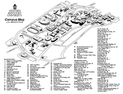
Western Kentucky University Map
Western Kentucky University Campus Map. All buildings shown
306 miles away
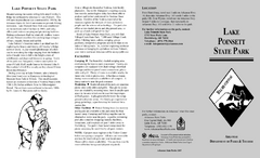
Lake Poinsett State Park Map
Map of Lake Poinsett State Park showing Great Blue Heron Trail , boat ramps and park amenities.
307 miles away
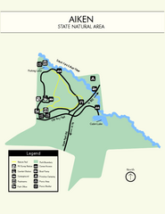
Aiken State Park Map
Small and simple state park map.
308 miles away
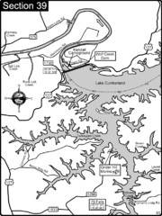
Lake Cumberland-Cumberland River Map
Lake Cumberland is formed by a dam on the Cumberland River in Section 39 of the Cumberland River...
310 miles away

Asheville School Campus map
Map of the 300-acre campus of Asheville School, a private boarding school for grades 9-12 with...
311 miles away
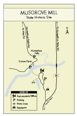
Musgrove Mill State Park Map
Clearly marked state park map.
311 miles away
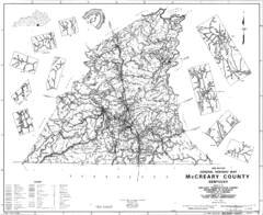
Mccreary County General Highway Map
Map of McCreary County with road, waterways and towns identified.
311 miles away
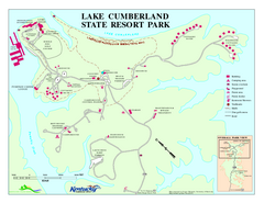
Lake Cumberland State Resort Park Map
Map of trails and facilities for Lake Cumberland State Resort Park.
313 miles away
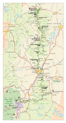
Asheville, North Carolina Parkway Map
313 miles away
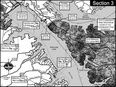
Kentucky Lake Tennesssee River-Land Between the...
This is the upper end of Kentucky Lake which is the Tennessee River. The map is designed for...
315 miles away
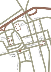
Downtown Asheville Map
Located in the heart of Asheville’s professional, municipal and cultural activity, Capital...
315 miles away
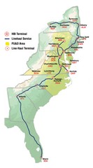
Linehaul Service Area Map
Service Area Map of Linehaul Surface Transportation
315 miles away
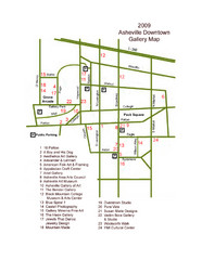
Downtown Asheville Galleria Map
Numbered shopping map of Downtown Asheville.
316 miles away
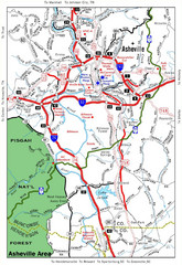
Asheville, NC Tourist Map
316 miles away
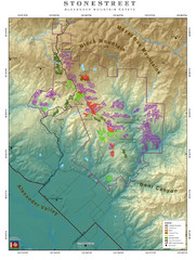
Alexander Mountain Estate Map
Vineyards in Alexander, North Carolina
316 miles away
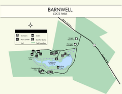
Barnwell State Park Map
Simple map of this state park.
316 miles away
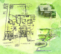
Dudley Farm Historic State Park Map
Map of park with detail of historical monuments
317 miles away
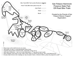
San Felasco Hammock Preserve State Park Bike...
Map of bike trails throughout preserve
318 miles away
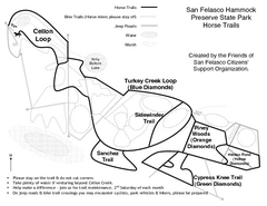
San Felasco Hammock Preserve State Park Horse...
Map of horse trails throughout preserve
318 miles away

