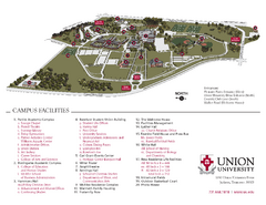
Union University Jackson Campus Map
Campus map of Union University in Jackson, Tennessee
248 miles away
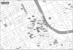
Downtown Nashville, TN Tourist Map
248 miles away
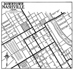
Downtown Nashville, TN Tourist Map
248 miles away
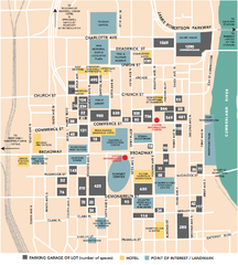
Nashville, TN Tourist Map
248 miles away
Nashville, TN Tourist Map
248 miles away
Nashville, TN Tourist Map
248 miles away
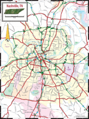
Nashville Road Map
Shows roads and major streets in Nashville, TN area
248 miles away
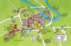
Nashville, TN Tourist Map
248 miles away
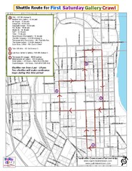
Nashville First Saturday Gallery Crawl Shuttle...
248 miles away
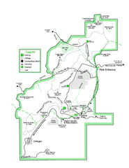
Black Rock State Park map
Detailed recreation map for Black Rock State Park in Georgia
248 miles away

Nashville City Map
249 miles away

Midtown Nashville and West End Map
249 miles away
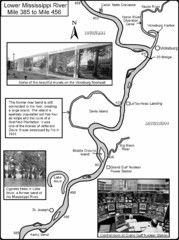
Lower Mississippi River Mile 385 to Mile 456 Map
Historical Map from book "Mississippi River-Historical Sites and Interesting Places
249 miles away
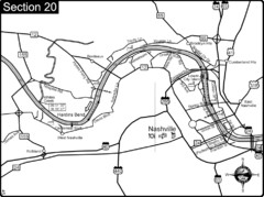
Nashville, TN-Cumberland River Map
The Cumberland River is an important waterway to the city of Nashville. Nashville is also a great...
249 miles away
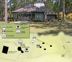
Forest Capital Museum State Park Map
Map of park with detail of recreation zones
251 miles away
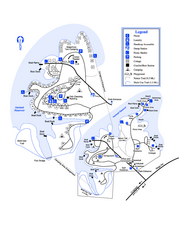
Hart State Park Map
Map of park with detail of trails and recreation zones
251 miles away
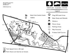
Shelby Farms Park Activities Areas Map
Visitor map of Shelby Farms Park. Shows parameters of dog areas, parking, play grounds, shelters...
252 miles away
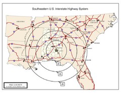
Southeastern U.S. Map
252 miles away
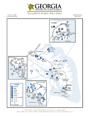
Richard B. Russell State Park Map
Map of park with detail of trails and recreation zones
252 miles away
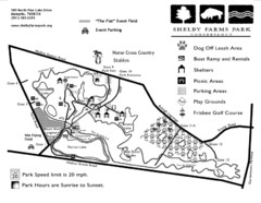
Shelby Farms Park Map
253 miles away
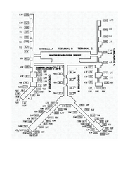
Memphis International Airport Terminal Map
Official Terminal Map of Memphis International Airport. Shows all terminals.
255 miles away
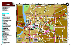
Memphis, Tennessee City Map
255 miles away
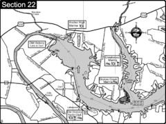
Old Hickory Lake-Cumberland River Map
Section 22 from the Cumberland River Guidebook shows the dam that forms Old Hickory Lake near...
256 miles away
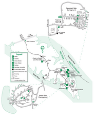
Bobby Brown State Park Map
Map of park with detail of trails and recreation zones
256 miles away
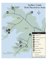
Sadlers Creek State Park Map
This simple map gives you an easy to follow layout of this amazing state park.
257 miles away
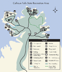
Calhoun Falls State Park Map
Clear map and detailed legend help make this map easy to read and follow.
258 miles away
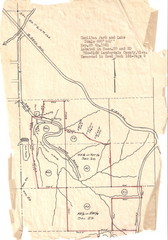
Hamilton Park and Lake Map
flood maps, elevation, survey map for Hamilton Park in Lauderdale County, Miss.
259 miles away
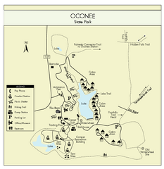
Oconee State Park Map
Beautiful state park clearly mapped with legend.
259 miles away
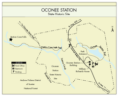
Oconee Station Map
Clear and simple map of Oconee State Park's station.
260 miles away
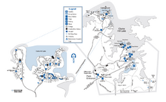
Mistletoe State Park Map
Map of park with detail of trails and recreation zones
261 miles away
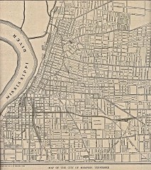
Antique map of Memphis from 1911
Antique map of Memphis, Tennessee from The New Encyclopedic Atlas and Gazetteer of the World. New...
262 miles away
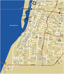
Downtown Memphis Map
262 miles away
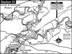
Kingston, TN Tennessee River/Clinch River/Emory...
Shows a bend on the Tennessee River at the confluence of the Clinch & Emory Rivers. For boat...
262 miles away
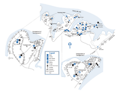
Elijah Clark State Park Map
Map of park with detail of trails and recreation zones
262 miles away
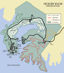
Hickory Knob State Park Map
Detailed map of this beautiful state park.
263 miles away
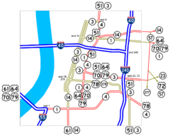
Downtown Memphis Map
Roads and freeways around Memphis.
263 miles away
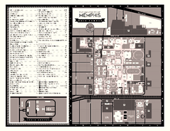
University of Memphis Map
Campus Map of the University of Memphis. All buildings shown.
263 miles away
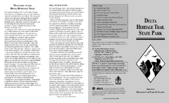
Delta Heritage Trail State Park Map
Map of Arkansas Historical Delta Heritage Trail both completed and uncompleted sections.
264 miles away
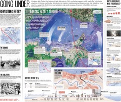
New Orleans Hurricane Map
This map, made before the Hurricane Katrina disaster in 2005, revisits the 1965 Hurricane Betsy and...
264 miles away
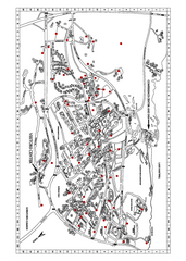
Clemson University Map
264 miles away

