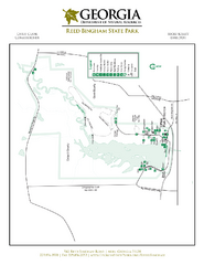
Reed Bingham State Park Map
Map of park with detail of trails and recreation zones
208 miles away
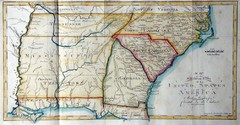
Southern Parts of the US Map
"This map was initially published in Morse's American Gazetteer in 1797 with Georgia...
209 miles away
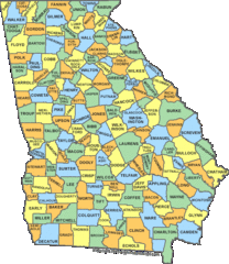
Georgia Counties Map
210 miles away

Clifton, TN Tennessee River Map
For boating navigational information and river road travel along the Tennessee River.
211 miles away
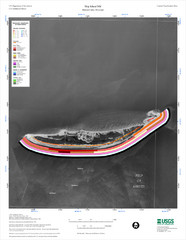
Ship Island Map
212 miles away

University of Georgia and Surrounding Area Map
212 miles away
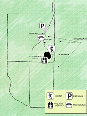
Letchworth-Love Mounds Map
Map of park with detail of trails and recreation zones
213 miles away
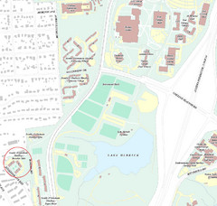
Brandon Town Map
Town of Brandon and University of Georgia Campus
213 miles away
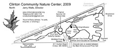
Clinton Community Nature Center Map
A relaxing walk through the Clinton Community Nature Center.
213 miles away

Athens, Georgia City Map
214 miles away
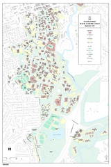
University of Georgia Map
Campus map of the University of Georgia. All buildings shown.
214 miles away
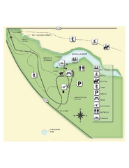
Edward Ball Wakulla Springs State Park Map
Map of park with detail of trails and recreation zones
216 miles away
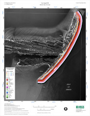
Cat Island Map
Cat Island NW Coastal Classification
216 miles away

Athens Airport Lines Map
216 miles away
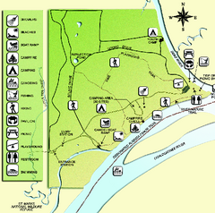
Ochlockonee River State Park Map
Map of park with detail of trails and recreation zones
220 miles away
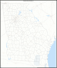
Georgia Zip Code Map
Check out this Zip code map and every other state and county zip code map zipcodeguy.com.
222 miles away
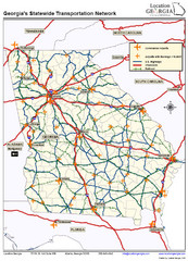
Georgia Transportation Map
222 miles away
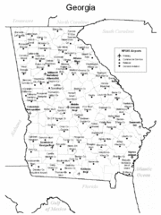
Georgia Tourist Map
222 miles away
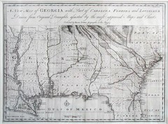
Georgia Map
Map of Georgia circa 1748. Includes Georgia and parts of the Carolinas, Florida and Louisiana.
222 miles away
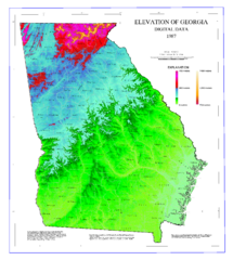
Map of Georgia Elevations
Digital elevation map of Georgia, U.S.
223 miles away
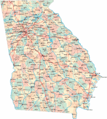
Georgia Road Map
Detailed, colorful road map of the state of Georgia.
223 miles away
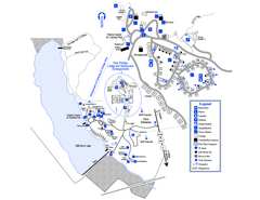
Little Ocmulgee State Park Map
Map of park with detail of trails and recreation zones
224 miles away
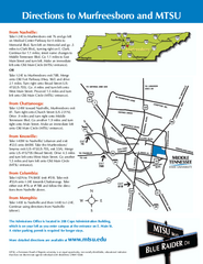
Middle Tennessee State University Map
Middle Tennessee State University Campus Map. All buildings shown.
227 miles away
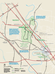
Stones River National Battlefield Official Map
Official NPS map of Stones River National Battlefield in Virginia. 8 AM to 5 PM Daily Pedestrians...
229 miles away
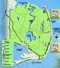
Bald Point State Park Map
Map of park with detail of trails and recreation zones
229 miles away
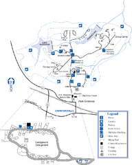
A. H. Stephens Historic Park Map
Map of park with detail of trails and recreation zones
230 miles away
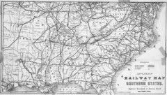
1865 Southern US States Railway Map
Guide to railroad travel in the southern United States
230 miles away
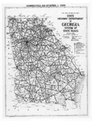
Georgia 1939 Road Map
State Road Map of Georgia in 1939
231 miles away
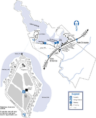
Hamburg State Park Map
Map of park with detail of trails and recreation zones
231 miles away
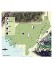
Econfina River State Park Map
Map of park with detail of trails and recreation zones
232 miles away
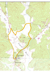
Soque River Ramble 6K Run & Walk Course...
Soque River Ramble 6K Race Course Elevation Map in Georgia.
232 miles away
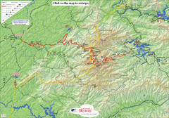
Cherohala Map
Map of Cherohala Skyway. Includes Visitor Information, roads, camping areas, and trails.
236 miles away

Detailed Map of Hawkesdene House area
Detailed map of how to get to Hawkesdene House B&B Inn
237 miles away
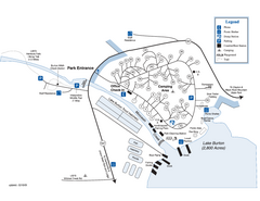
Moccasin Creek State Park Map
Map of park with detail of trails and recreation zones
237 miles away
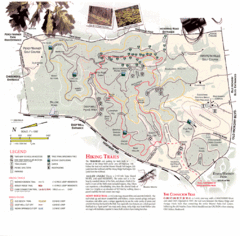
Percy Warner Park Map
241 miles away
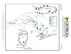
General Coffee State Park Map
Map of park with detail of trails and recreation zones
241 miles away
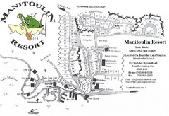
Manitoulin Resort Map
242 miles away

Nashville Zoo Map
243 miles away
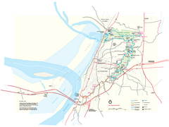
Vicksburg National Military Park Official Park Map
Official NPS map of Vicksburg National Military Park in Mississippi. Map shows all areas. Open...
243 miles away
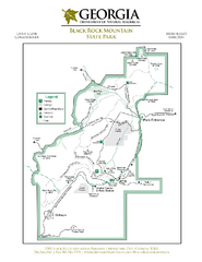
Black Rock Mountain State Park Map
Map of park with detail of trails and recreation zones
248 miles away

