Roan Mountain Panorama Map
Panoramic Map of the View from the Baud Family Cabin of Roan Mountain, TN. The view overlooks...
363 miles away
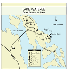
Lake Wateree State Park Map
Clear map of State Park.
363 miles away
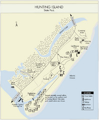
Hunting Island State Park Map
Shows facilities of Hunting Island State Park, South Carolina. Rated the #8 beach in America by...
363 miles away
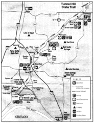
Tunnel Hill State Trail, Illinois Site Map
363 miles away
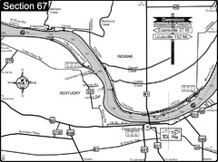
Ohio River at Owensboro, Kentucky Map
This is a page from the Ohio River Guidebook. The map shows important information for boaters and...
364 miles away
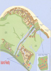
Harbor Island Real Estate Map
365 miles away
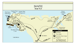
Santee State Park Map
Clear state park map.
365 miles away
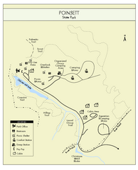
Poinsett State Park Map
Map and legend for this wonderful state park, marking bathrooms, camping grounds, roads, and more.
365 miles away
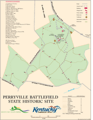
Perryville Battlefield State Historic Site Map
Map of trails and interpretive markers for the historical site of Perryville Battlefield.
366 miles away
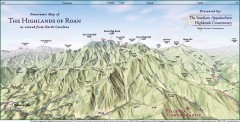
Panoramic Map of the Highlands of Roan (from NC)
Panoramic Map of the Roan Mountain Highlands as seen from North Carolina.
366 miles away
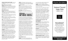
Natural Tunnel State Park Map
Detailed and informative state park map and legend.
366 miles away
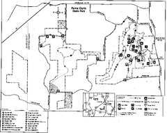
Ferne Clyffe State Park, Illinois Site Map
366 miles away
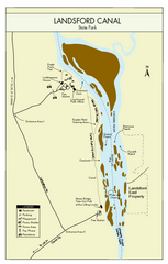
Landsford Canal State Park Map
Clear map with detailed legend marking this beautiful state park.
367 miles away
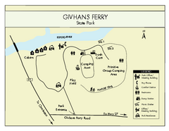
Givhans Ferry State Park Map
Map marked with shelter, phone, restrooms, picnic and more.
367 miles away
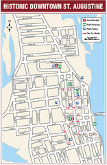
Downtown St. Augustine, Florida Map
Tourist map of historic downtown St. Augustine, Florida. Shows visitor information, restrooms, and...
368 miles away
Pinnacle Mountain State Park Map
Map of the Pinnacle Mountain State Park including trails, park sites and amenities.
368 miles away
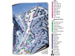
Sugar Mountain Resort Ski Trail Map
Trail map from Sugar Mountain Resort.
369 miles away
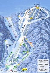
Sugar Mountain Ski Trail Map
Official ski trail map of Sugar Mountain ski area
369 miles away
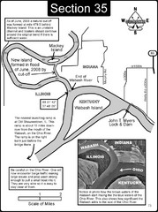
Mount Vernon, IN Wabash River & Ohio River Map
This is a page from the Wabash River Guidebook. The map shows important information for boaters and...
369 miles away
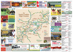
Avery County Attractions Map
Avery County Attractions Map
370 miles away
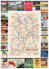
Avery County Restaurants Map
Avery County Tourist Map
370 miles away
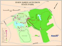
John James Audubon State Park Map
Map of trails, facilities and historical sites in John James Audubon State Park.
370 miles away
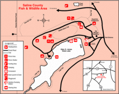
Saline County State Fish & Wildlife Area...
370 miles away
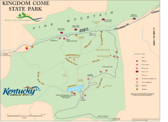
Kingdom Come State Park Map
Trail map for Kingdom Come State Park.
371 miles away
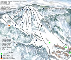
Beech Mountain Ski Resort Ski Trail Map
Trail map from Beech Mountain Ski Resort.
371 miles away
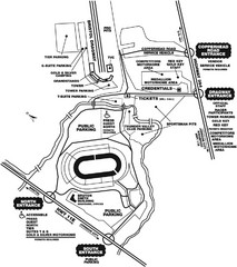
Bristol Dragway Map
Guide to campgrounds and parking at Bristol Dragway
371 miles away
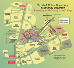
Bristol Motor Speedway Map
Guide to the campgrounds and parking at the Speedway
371 miles away
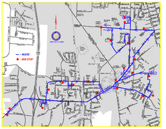
Berea Bus Route Map
371 miles away
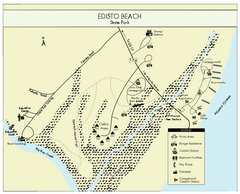
Edisto Beach State Park Map
Clearly labeled map of this beautiful state park.
372 miles away
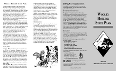
Woolly Hollow State Park Map
Map of Woolly Hollow State Park showing hiking trails and park amenities.
372 miles away
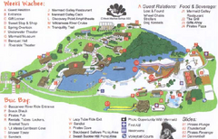
Weeki Wachee Springs State Park Map
Map of park
372 miles away
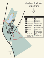
Andrew Jackson State Park Map
Clear and legible park map and legend.
372 miles away
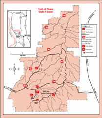
Trail of Tears State Park, Illinois Map
373 miles away
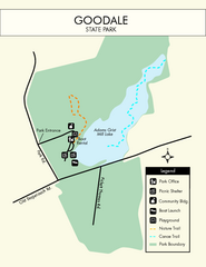
Goodale State Park Map
Easy to read state park map.
375 miles away
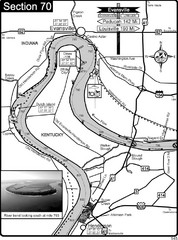
Ohio River at Evansville, IN and Henderson, KY Map
This is a page from the Ohio River Guidebook. The map shows important information for boaters and...
375 miles away
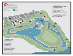
US National Whitewater Center Map
Facility map of the US National Whitewater Center in Charlotte, North Carolina
375 miles away
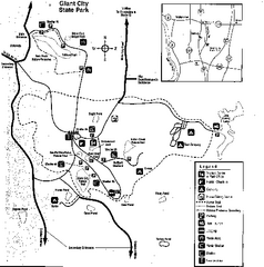
Giant City, Illinois Site Map
375 miles away
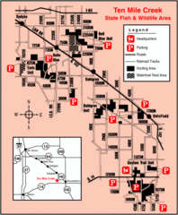
Ten Mile Creek State Wildlife Area, Illinois Site...
376 miles away
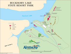
Buckhorn Lake State Resort Park Map
Map of Trails and Facilities of Buckhorn Lake State Resort Park.
376 miles away

