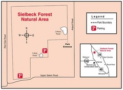
Sielbeck Forest, Illinois Site Map
346 miles away
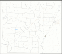
Arkansas Zip Code Map
Check out this Zip code map and every other state and county zip code map zipcodeguy.com.
347 miles away
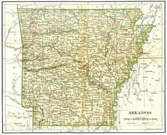
Old Arkansas Map
Old 1892 historical map in great condition.
347 miles away
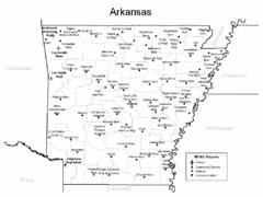
Arkansas Airports Map
347 miles away
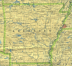
Arkansas County Map
Arkansas divided into counties
347 miles away
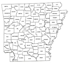
Arkansas Historical County Map
Historical County Map of Arkansas from 1936
347 miles away
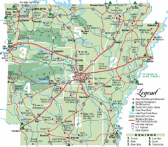
Arkansas State Park Map
Map highlights Arkansas State Parks and tourist areas including towns and major roads.
347 miles away
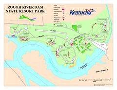
Rough River Dam State Resort Park Map
Map of trails, facilities and golf course in Rough River Dam State Resort Park.
348 miles away
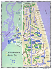
Palmetto Dunes Map
349 miles away
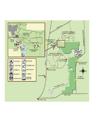
Rainbow Springs State Park Map
Map of park with detail of recreation zones
349 miles away
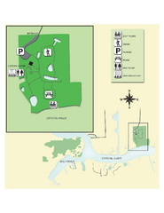
Crystal River Archeological State Park Map
Map of park with detail of trails and recreation zones
349 miles away
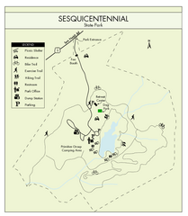
Sesquicentennial State Park Map
Map of this beautiful state park.
350 miles away
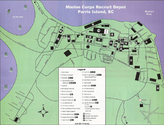
Parris Island Marine Corps Recruit Depot Map
Map of the Parris Island Marine Corps Recruit Depot near Beaufort, South Carolina. Shows...
350 miles away
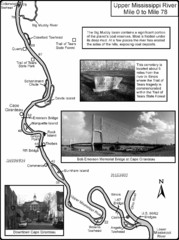
Upper Mississippi River Mile 0 to Mile 78 Map
Historical Map from book "Mississippi River-Historical Sites and Interesting Places
351 miles away
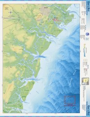
Gray's Reef National Marine Sanctuary Map
Gray's Reef National Marine Sanctuary , designated in January 1981, is one of the largest near...
351 miles away
Powhatan Historic State Park Map
Map of the historic buildings of Powhatan State Park.
351 miles away
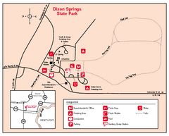
Dixon Springs State Park, Illinois Site Map
351 miles away
Lake Charles State Park Trail Map
Map of trails for Lake Charles State Park including othe park sites and amenities.
351 miles away
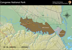
Congaree National Park Official Park Map
Official NPS map of Congaree National Park. Map shows all areas. Congaree National Park is open...
352 miles away
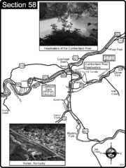
Harlan, KY-Cumberland River Headwaters Map
Section 58 of the Cumberland River Guidebook shows the beginning of the Cumberland River at the...
352 miles away
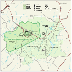
Kings Mountain National Military Park Official Map
Official NPS map of Kings Mountain National Military Park in South Carolina. Open Daily 9:00 a.m...
352 miles away
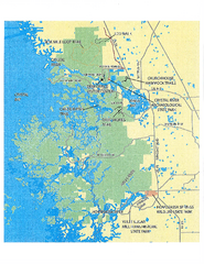
Crystal River Preserve State Park Map
Map of park with detail of recreation zones
352 miles away
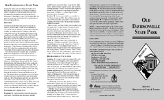
Old Davidsonville State Park Map
Map of Old Davidsonville State Park historical sites, amenites and other park sites.
353 miles away
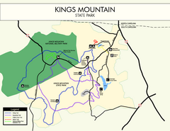
Kings Mountain State Park Map
Clearly marked state park map.
354 miles away
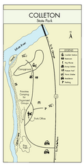
Colleton State Park Map
Detailed map and map legend of this beautiful state park.
354 miles away
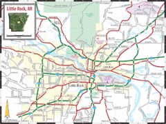
Little Rock, Arkansas City Map
355 miles away
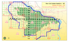
Little Rock City Map
City map of Little Rock, Arkansas with section designations
355 miles away
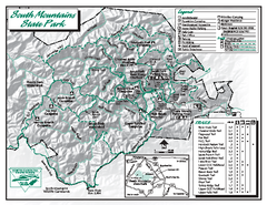
South Mountains State Park map
Detailed recrational map for South Mountain State Park in North Carolina
356 miles away
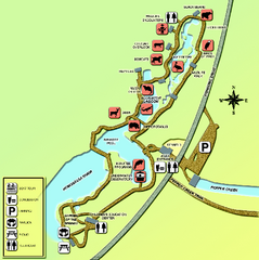
Homosassa Springs Wildlife State Park map
Map of park with detail of trails and recreation zones
357 miles away

Citrus County, Florida Map
Tourist map of Citrus County, Florida. Shows parks, trails, museums, and other points of interest.
358 miles away
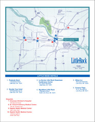
Little Rock Map
358 miles away
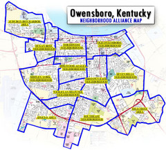
Owensboro, Kentucky City Map
359 miles away
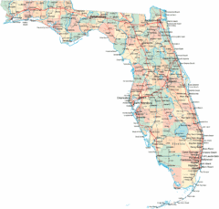
Florida Road Map
360 miles away
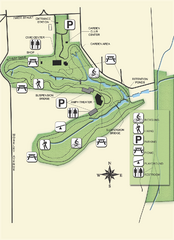
Ravine Gardens State Park Map
Map of park with detail of trails and recreation zones
361 miles away

Panoramic View of Roan to Grandfather Map
This panorama takes in the vista from Roan to Grandfather mountain - overlooking the upper Linville...
361 miles away
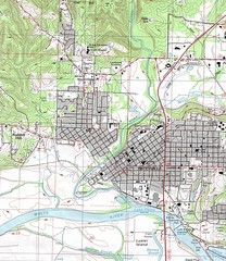
Batesville City Map
Topographic city map of Batesville, Arkansas
361 miles away
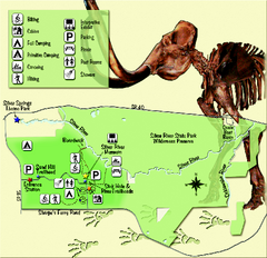
Silver River State Park Map
Map of park with detail of trails and recreation zones
362 miles away
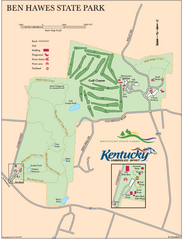
Ben Hawes State Park Map
Map of trails, facilities and golf course in Ben Hawes State Park.
362 miles away
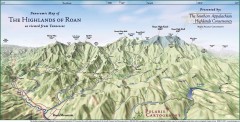
Panoramic Map of the Highlands of Roan (from TN)
Panoramic map of the Highlands of Roan as seen from Tennessee.
363 miles away

