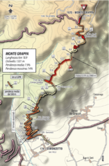
Monte Grappa Giro Stage 14 Cycling Route Map
Cycling route of the climb up Monte Grappa in Stage 14 of the 2010 Giro d'Italia. Averages 8...
41 miles away
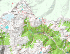
Val di Rabbi Topo Map
Detailed topographic map of Val di Rabbi, Italy on the edge of Stelvio National Park
43 miles away
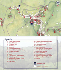
Asolo Town Map
Tourist map of Asolo, Italy. Shows points of interest, panoramic site, and touristic information...
45 miles away
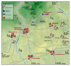
Asolo Italy Area Map
Tourist map of Asolo, Italy surroundings. Shows monuments, art centers, museums, and city walls.
46 miles away
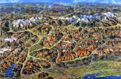
Eastern Alps Italy and Austria Overview Map
Panoramic map of the mountains and towns of northern Italy, the Tyrol, and southern Austria
47 miles away
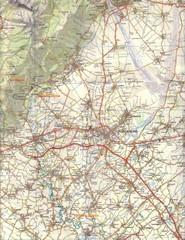
Northern Italy Tourist Map
Pordenone, Coltura, Polcenigo, Italy
47 miles away
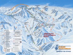
Stubaital Ski Trail Map
Trail map from Stubaital.
50 miles away
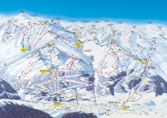
Solden Ski Trail Map
Ski trail map of the Solden ski area in the Tyrol region of Austria.
50 miles away
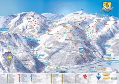
Mayrhofen Ski Trail Map
Trail map from Mayrhofen.
50 miles away
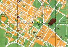
Sesto Map
51 miles away
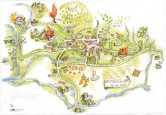
Tramonti di Sopra Tourist Map
Tourist map of town and surrounding area of Tramonti di Sopra, Italy. Drawing shows streets...
51 miles away
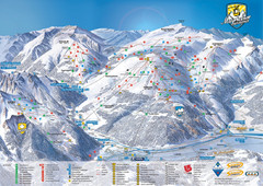
Mayrhofen Ski Trail Map
Ski trail map of Mayrhofen ski area in Austria.
51 miles away
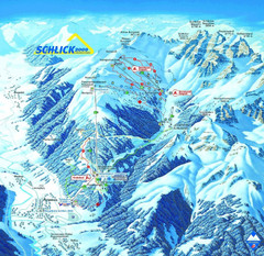
Fulpmes Ski Trail Map
Trail map of Fulpmes ski area in the Stubai Alps near Fulpmes, Austria. Schlick 2000
53 miles away
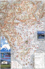
Vicenza Tourist Map
Tourist map of region around Vicenza, Italy. Shows points of interest. In Italian. Scanned.
55 miles away

Sulden Ski Trail Map
Ski trail map of Sulden (Solda), Italy in the Ortler Alps. Shows trails and lifts.
55 miles away
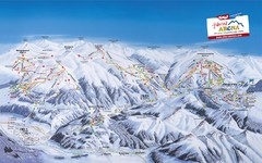
Zillertal Arena Ski Trail Map
Trail map from Zillertal Arena.
55 miles away
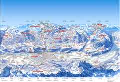
Innsbruck Region Ski Map
Shows ski regions around Innsbruck, Austria
56 miles away
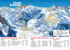
Lienz Austria Ski Map
Trail map for Lienz ski resort in Austria. Lifts, runs, elevations and amenities marked on map.
56 miles away
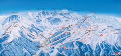
Axamer Lizum Ski Trail Map
Trail map from Axamer Lizum.
56 miles away
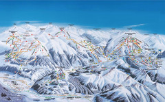
Gerlos Ski Resort Map
Ski map for Gerlos, Austria. Includes ski runs, lifts, mountains with elevations and amenities.
56 miles away
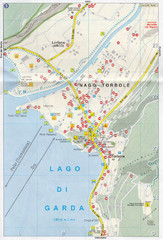
Nago-Torbole Map
56 miles away
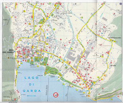
Riva del Garda Map
57 miles away
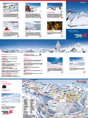
Zillertal 3000 (Hintertux) Ski Trail Map
Trail map from Zillertal 3000 (Hintertux).
58 miles away

Sulden Trafoi Summer Hiking Map
Summer hiking route map of Sulden (Solda) Italy, Trafoi, Italy and Stelvio, Italy. Shows hiking...
59 miles away
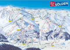
Otztal Ski Trail Map
Trail map from Otztal.
59 miles away
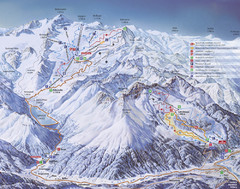
Kaunertal Ski Trail Map
Trail map from Kaunertal.
59 miles away
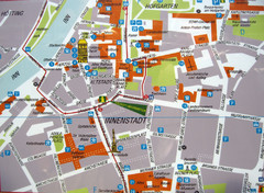
Innsbruck Tourist Map
Tourist map of inner Innsbruck, Austria. Photo of outdoor map.
59 miles away
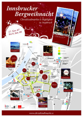
Innsbruck Christmas Markets Map
Christmas market map of Innsbruck, Austria.
59 miles away
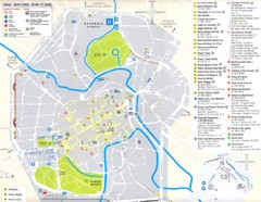
Vicenza Map
63 miles away
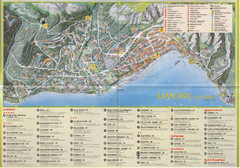
Limone sul garda Map
63 miles away
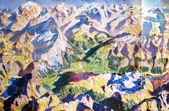
Bormio Panorama Map
Panorama tourist map of Bormio, Italy. Shows Ortler Alps in distance. From photo.
63 miles away
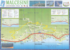
Malcesine Map
65 miles away
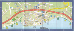
Malcesine Map
65 miles away
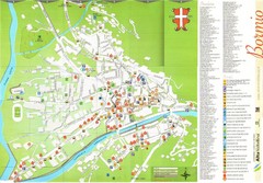
Bormio Tourist Map
Tourist map of town of Bormio, Italy. Legend of all streets and services.
65 miles away
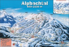
Alpbach Ski Trail Map
Trail map from Alpbach.
67 miles away
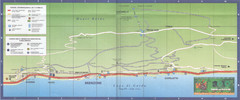
Brenzone Map
69 miles away
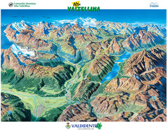
Valdidentro Alta Valtellina Summer Map
Panorama tourist map of the region of Valdidentro Alta Valtellina from Bormio, Italy to Livigno...
71 miles away
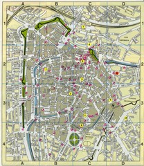
Padova Street Map
Street map of central Padova, Italy. Shows public phones.
72 miles away
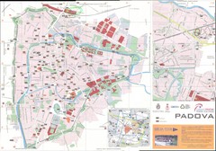
Padova Map
72 miles away


