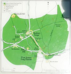
Avebury World Heritage Site Map
Map of Avebury, England showing World Heritage Site and surroundings. From photo.
0 miles away
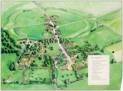
Avebury Tourist Map
Tourist map of Avebury, England. Shows Avebury Henge. From photo.
less than 1 mile away
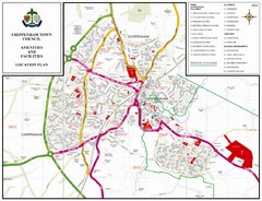
Chippenham Town Map
12 miles away
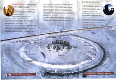
Stonehenge Brochure Map
Scan of official brochure of Stonehenge.
17 miles away
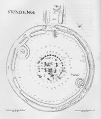
Stonehenge Map
Hand drawn map of Stonehenge showing stone circle and surrounding area
17 miles away
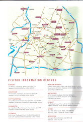
Cotswold England Tourist Map
The Cotswolds are situated in the Heart of England less than 2 Hours Drive from London. Map shows...
21 miles away
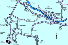
Bath City, England Map
Map from the centre of Bath, visitor information and streets.
22 miles away
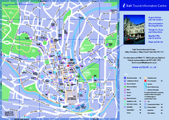
Bath City Map
22 miles away
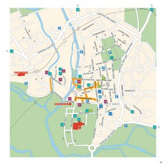
Salisbury Tourist Map
Tourist map of central Salisbury, UK. Shows parking and key for points of interest.
25 miles away
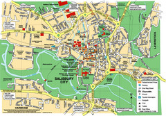
Salisbury City Map
Map of Salisbury City
25 miles away
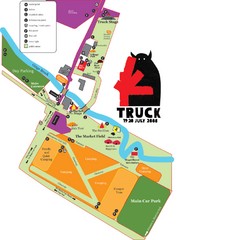
Steventon, South Oxfordshire Tourist Map
27 miles away
Bristol Centre Map
31 miles away
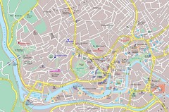
Bristol Tourist Map
Tourist map of central Bristol, England.
32 miles away
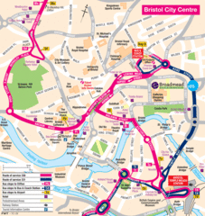
Bristol Hotel Map
32 miles away

Bristol, England Tree Map
32 miles away
Central Bristol Tourist Map
Neighborhoods, landmarks and streets in Bristol, England
32 miles away
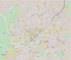
Bristol City Map
Overview map of city of Bristol. Zooms with details available on original website.
32 miles away
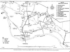
Whitchurch on Thames Walking Map
Guide to 12 walks around Whitchurch on Thames, UK
33 miles away
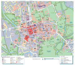
Oxford City Map
Tourist street map of Oxford
34 miles away
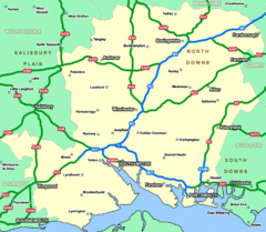
Southhampton Area Hotel Map
34 miles away
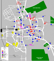
Oxford City Map
Oxford University and surrounding city
34 miles away
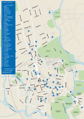
University of Oxford Campus Map
campus map
35 miles away
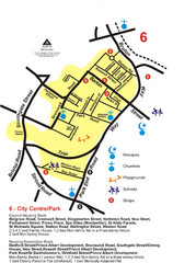
Gloucester City Park Map
35 miles away
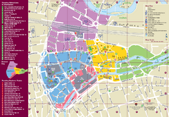
Reading Tourist Map
Tourist map of city center of Reading, England. Shows attractions and other tourist points of...
38 miles away
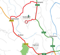
Hartpury College Directions Map
Map of location of Hartpury College campus and surrounding roads.
38 miles away
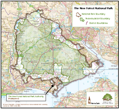
The New Forest National Park Map
Nice map with clear park boundaries.
39 miles away
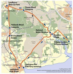
New Forest Bus Tour Map
40 miles away
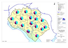
Methods of Travel in Southampton, UK Map
The methods of travel used by workers in Southampton
41 miles away
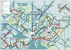
Southampton Public Transport Map
Public transport map of Southampton, England
41 miles away
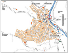
Henley-on-thames Map
Visitor Map of Henley-on-thames. Map shows location of most main roads, buildings, and parking.
42 miles away
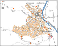
Henley-on-Thames Map
42 miles away
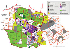
2008 Glastonbury Festival Guide Map
42 miles away
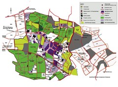
Glastonbury, England Festival Park Map
The park layout in Glastonbury, England
42 miles away
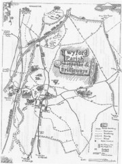
Twyford Parish Map
Footpaths and bridleways map of Twyford Parish
43 miles away
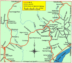
Monmouth and Wye Valley Railways Map
Map showing the 3 major railway lines and the cities with stops of Monmouth, UK.
48 miles away
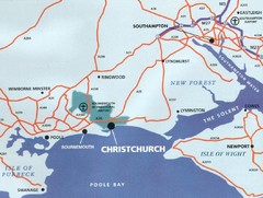
Christchurch, England Region Map
48 miles away

Bournemouth bus tour map
Bournemouth bus tour map - City Sightseeing
49 miles away
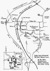
Petersfield, London Map
49 miles away
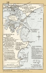
1857 Poole Harbor Map
Guide to the peninsula and improvements in the Harbor
52 miles away


 Explore Maps
 Map Directory
